hikes
Mt Jonen (常念岳)
13 Jul
30 minute bus ride from Geneva to Veyrier, Pont de Sierne.
If you are taking the cable car, you can park at the cable car station's parking.
Mont Salève is a small peak that overlooks the city of Geneva in Switzerland. Funnily enough, although it’s considered to be Geneva’s local mountain, the entire mountain is actually located in France. The peak is accessible via a cable car, so you can skip the hike and head straight to the top if you just want to enjoy the views. Of course for me, if there’s a mountain I want to climb it, so I decided to follow SwitzerlandMobility’s route 144. This course takes you via the Swiss villages of Sierne and Veyrier, before heading into France and climbing the mountain.
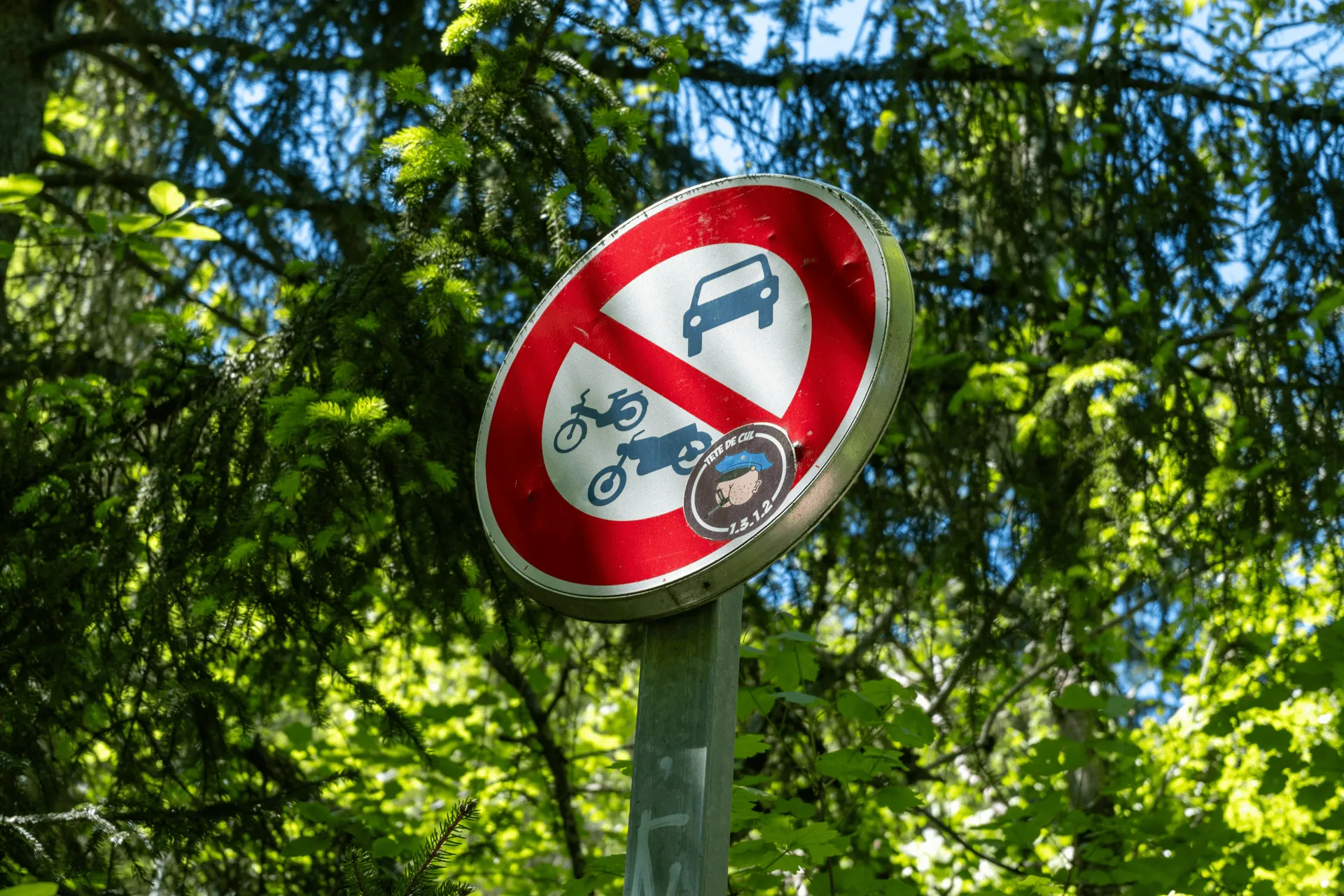
The hike begins at the “Veyrier, Pont de Sierne” bus stop. I had a mild moment of panic when I got off the bus and realised my phone didn’t have any reception - and I hadn’t downloaded a hiking map. It wasn’t really clear where I was supposed to head to, either. My hike up Mt Rigi a couple days prior had been very well sign-posted and my brain was in holiday mode so I had been taking things pretty chill.
Luckily I saw a lady head up a path across the road, and then my phone got network signal so I could double-check the map, and I was on my way.
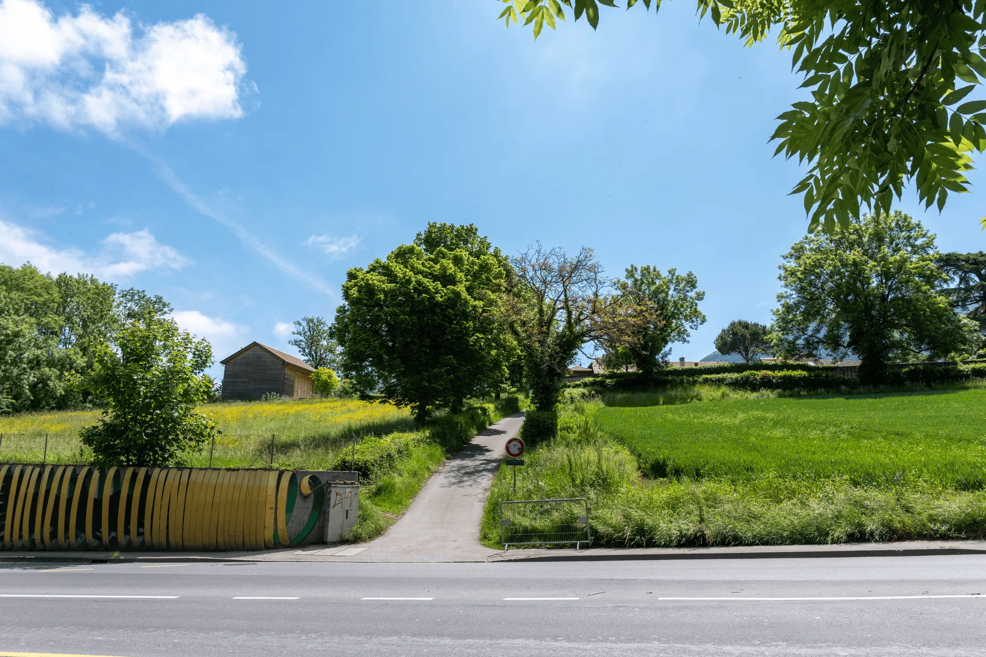
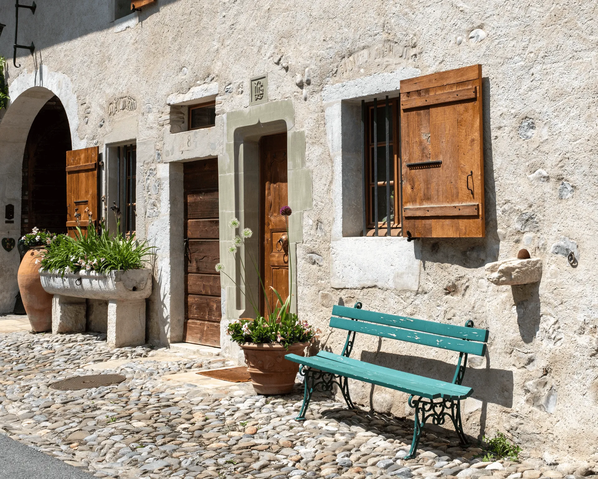
You’ll first pass a small village called Sierne. Well, it’s technically a hamlet - it’s smaller than a village, since there’s only a couple of houses. It’s very pretty, and apparently quite old - the SwissMobility route info mentions that the buildings are from the 17th century.
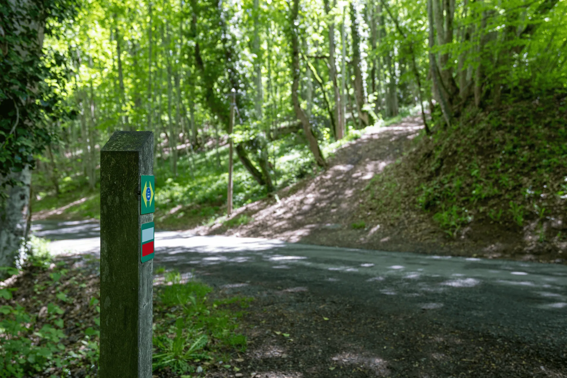
There’s a fork nearby to the main hiking path.

As I walked down the gravel path, I took a look at my map and realised I was in France. I’ve only ever lived in island countries (Australia and Japan) so the idea of being able to walk across a border into a new country was new to me. I sort of expected there would be more fanfare or a big line in the ground, but I guess not!
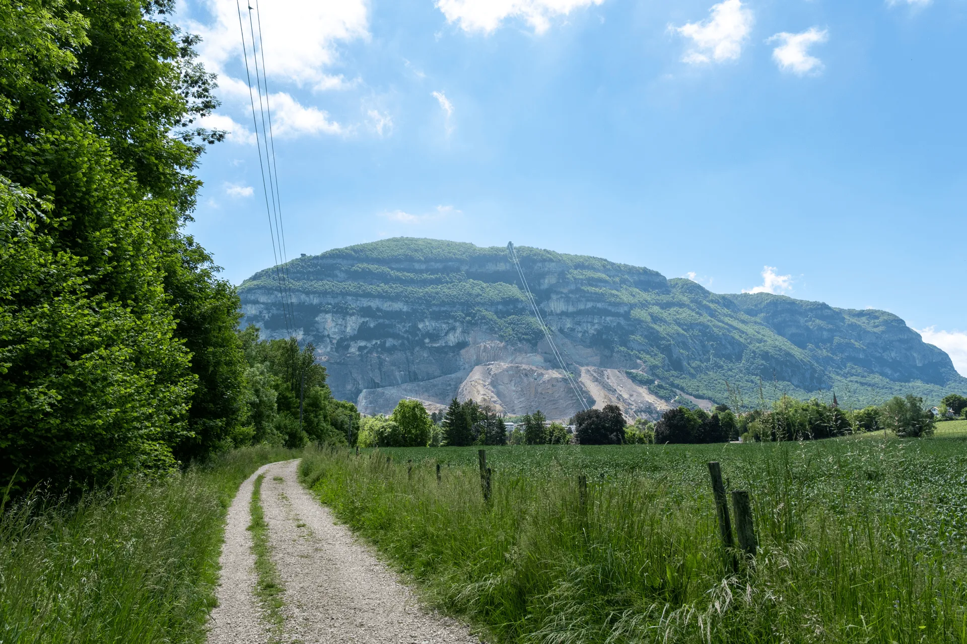
As you walk the trail you’ll also spot Salève and the cable car heading up the middle. It had been cloudy in the morning, so I did some sightseeing in Geneva and started my hike just after midday once the clouds had started to clear up. I’m glad I got to spot the mountain from here! It’s always fun when you get to see the mountain in its entirety as you approach it.
From here you do another border crossing back into Switzerland. Now that I knew what to look out for, I could see the gate that marked the border line.
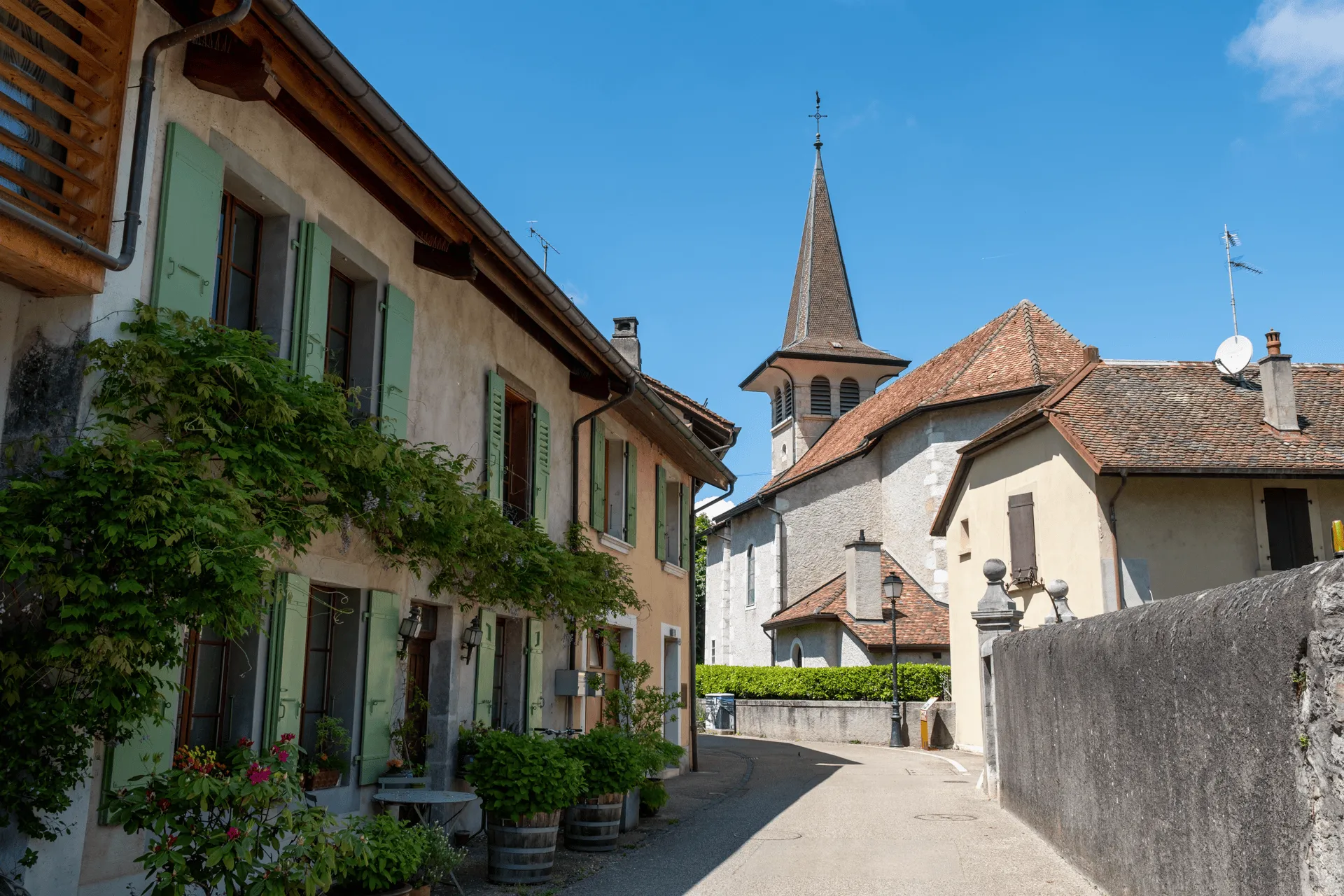
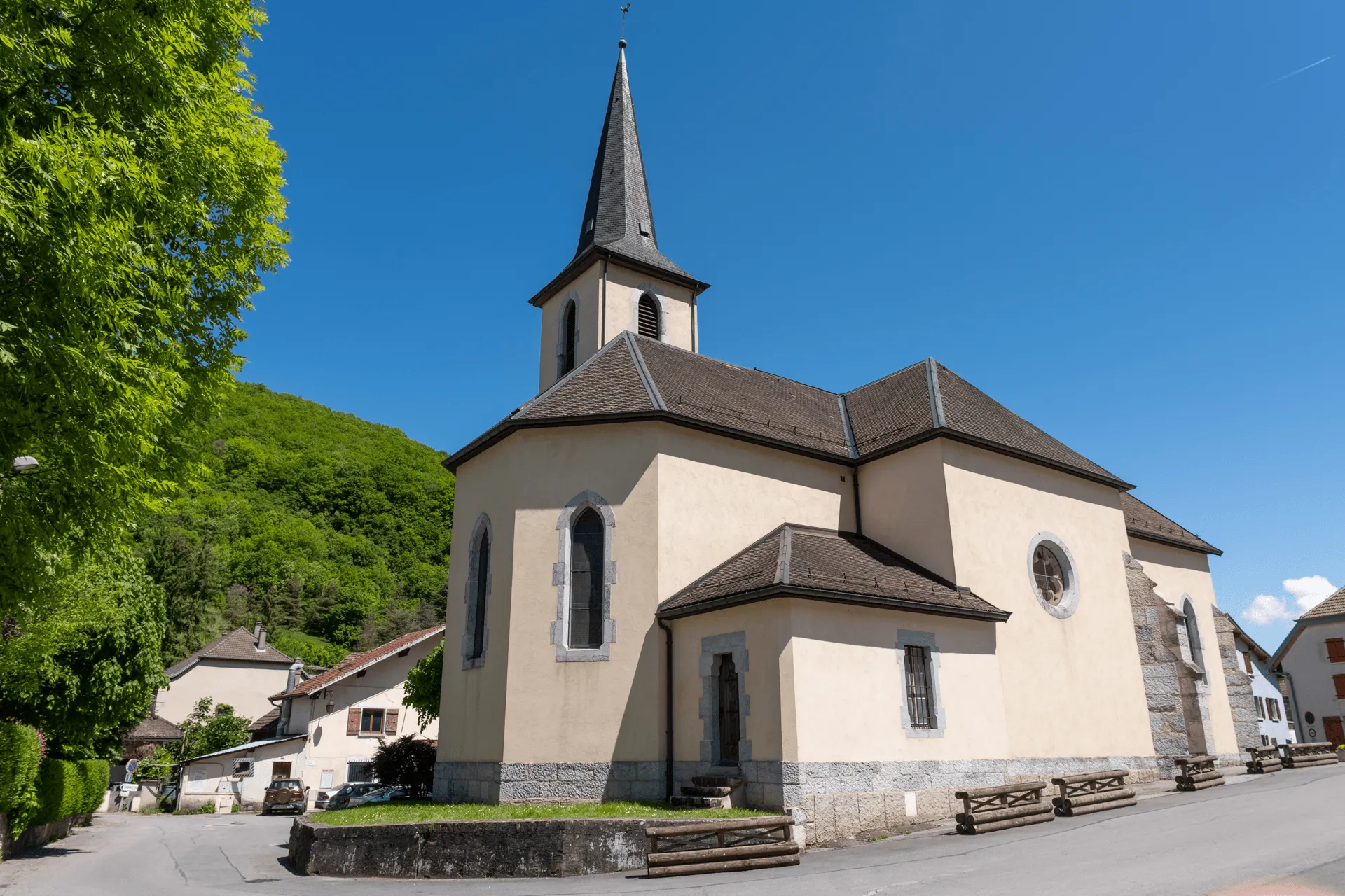
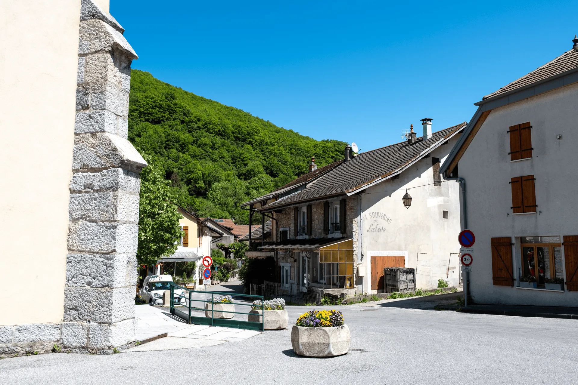
Next you’ll pass through the Swiss village of Veyrier. Today was a weekday and there were only some locals around, so I’ll admit I felt a bit out of place as I passed through.
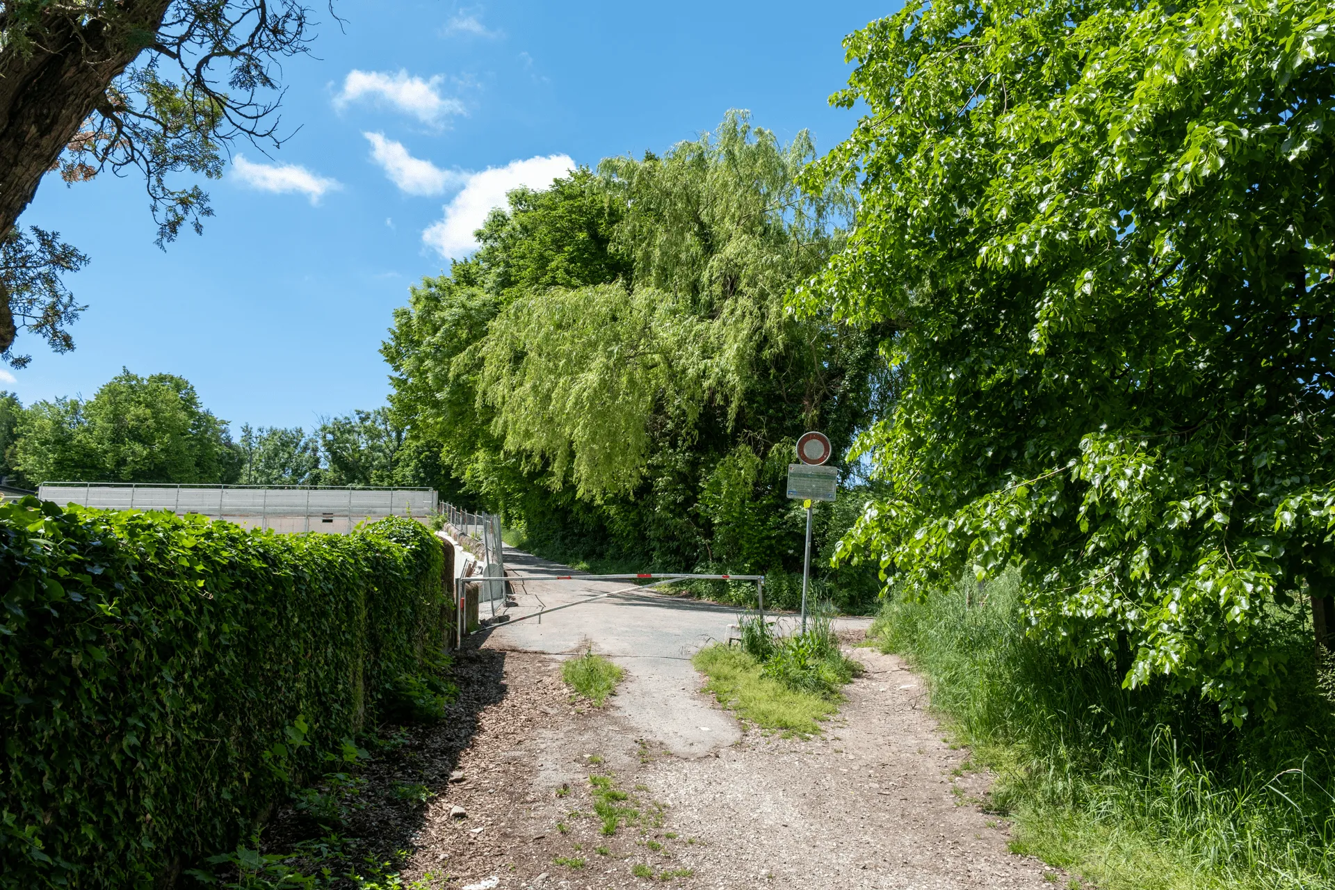
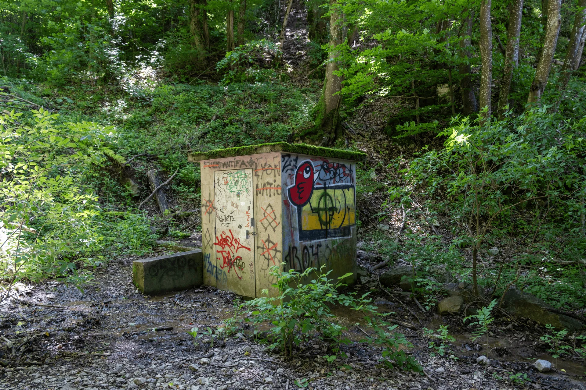
And then before I knew it, I had crossed into France again! It was only when I crossed a road and looked back that I realised that I had passed a checkpoint building.
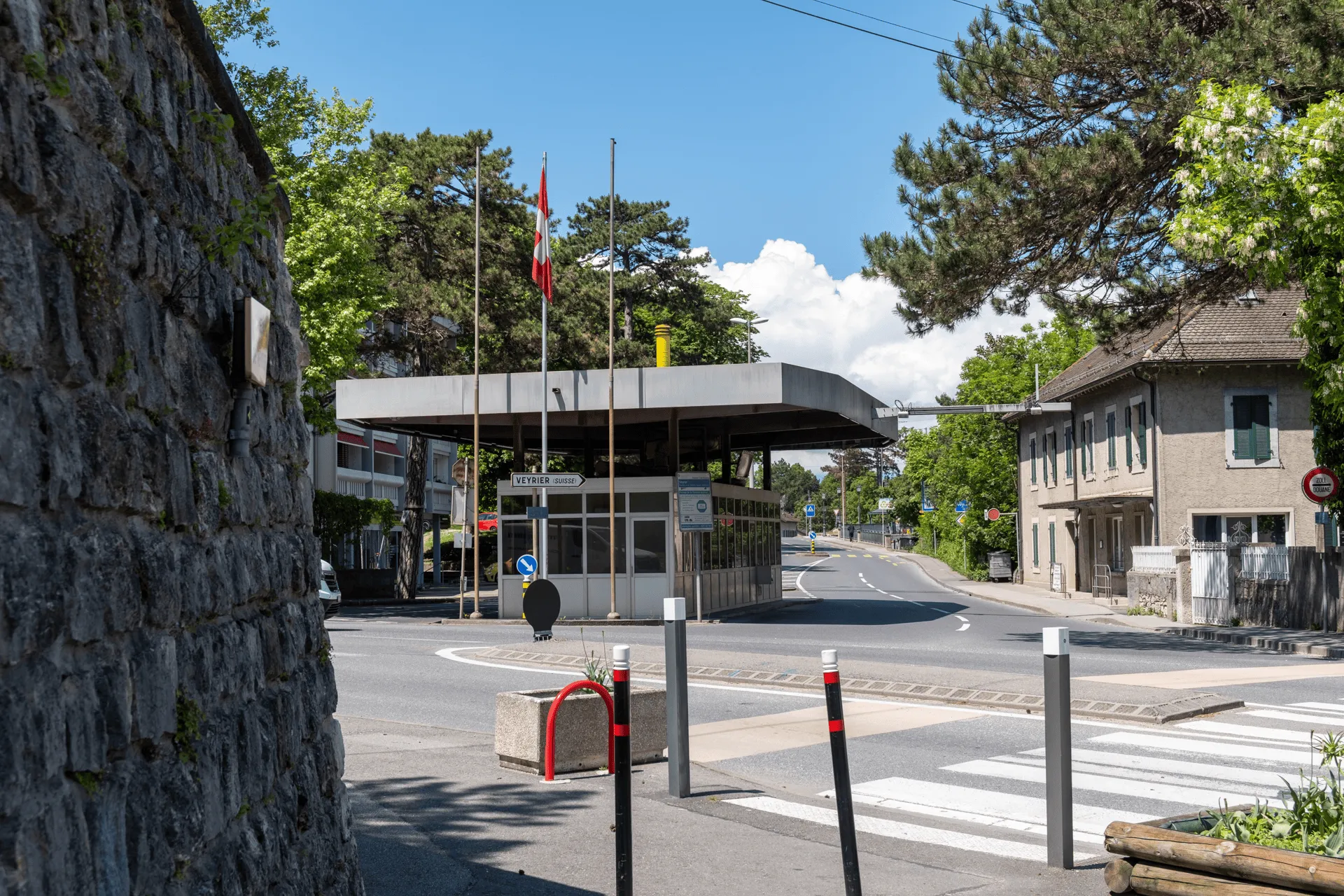
Not that there was any checking being done at the checkpoint - cars were just streaming in and out of Switzerland. But you could see quite a few security cameras attached to the building so I suppose they were at least monitoring the entry and exits.
Past the border, you’ll walk past some more houses and take a bridge over a busy highway road. I’ll admit that for as much solo hiking that I do, I’m still a bit of a nervous hiker at times and I was starting to doubt whether this was a proper course that people actually took, since it felt so residential.
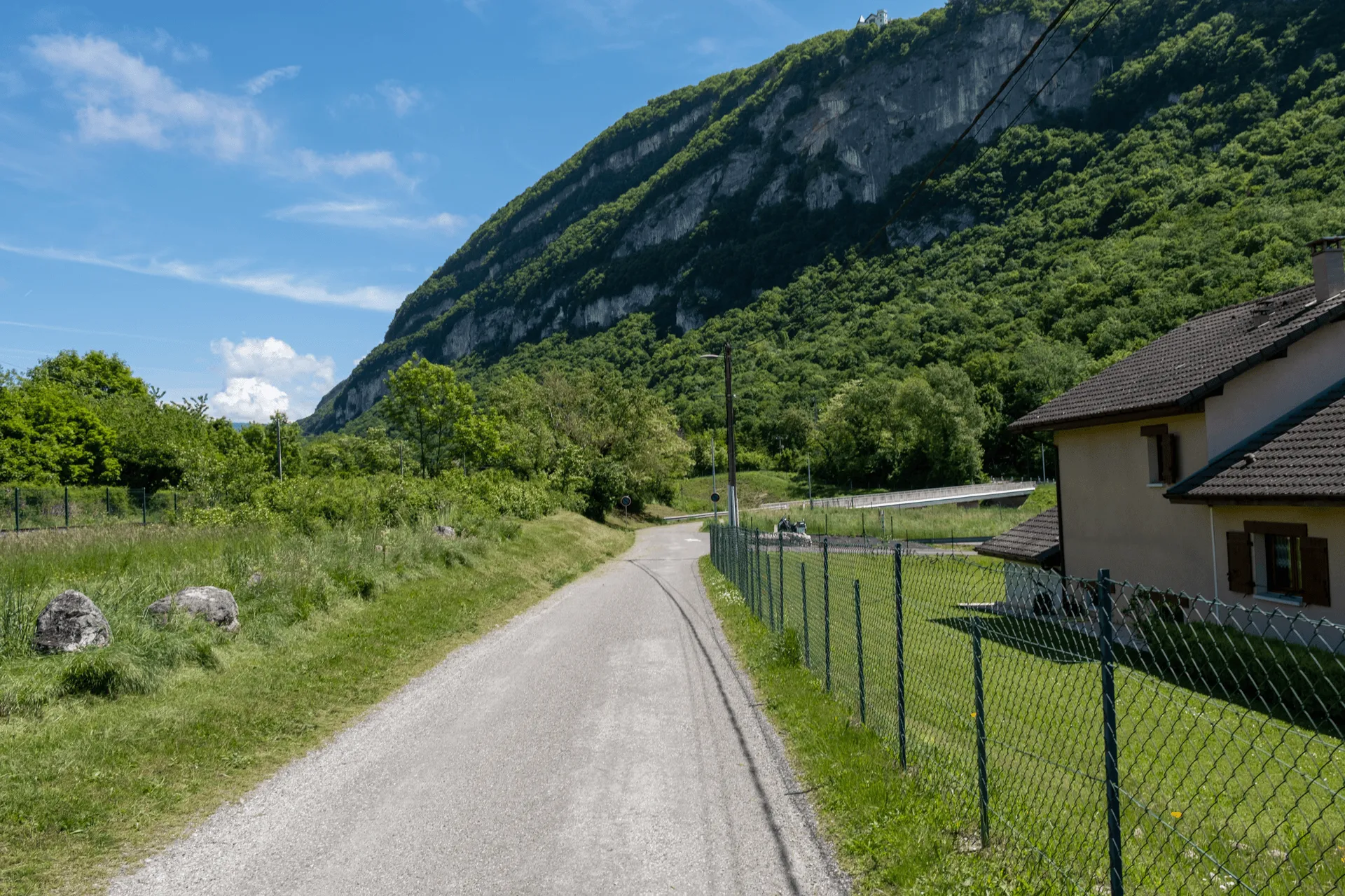
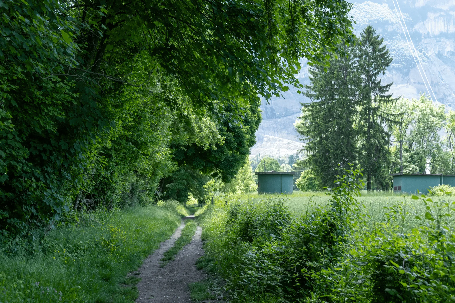
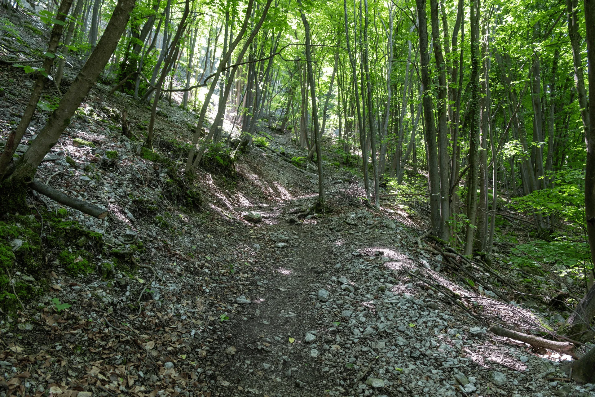
But luckily just beyond this point the actual hiking course begins - a dirt path heading into the forest. I also saw another lady hiking up from behind me, so this reassured me as well. I know some people love empty trails, but personally I feel a bit better when I see the occasional person around.
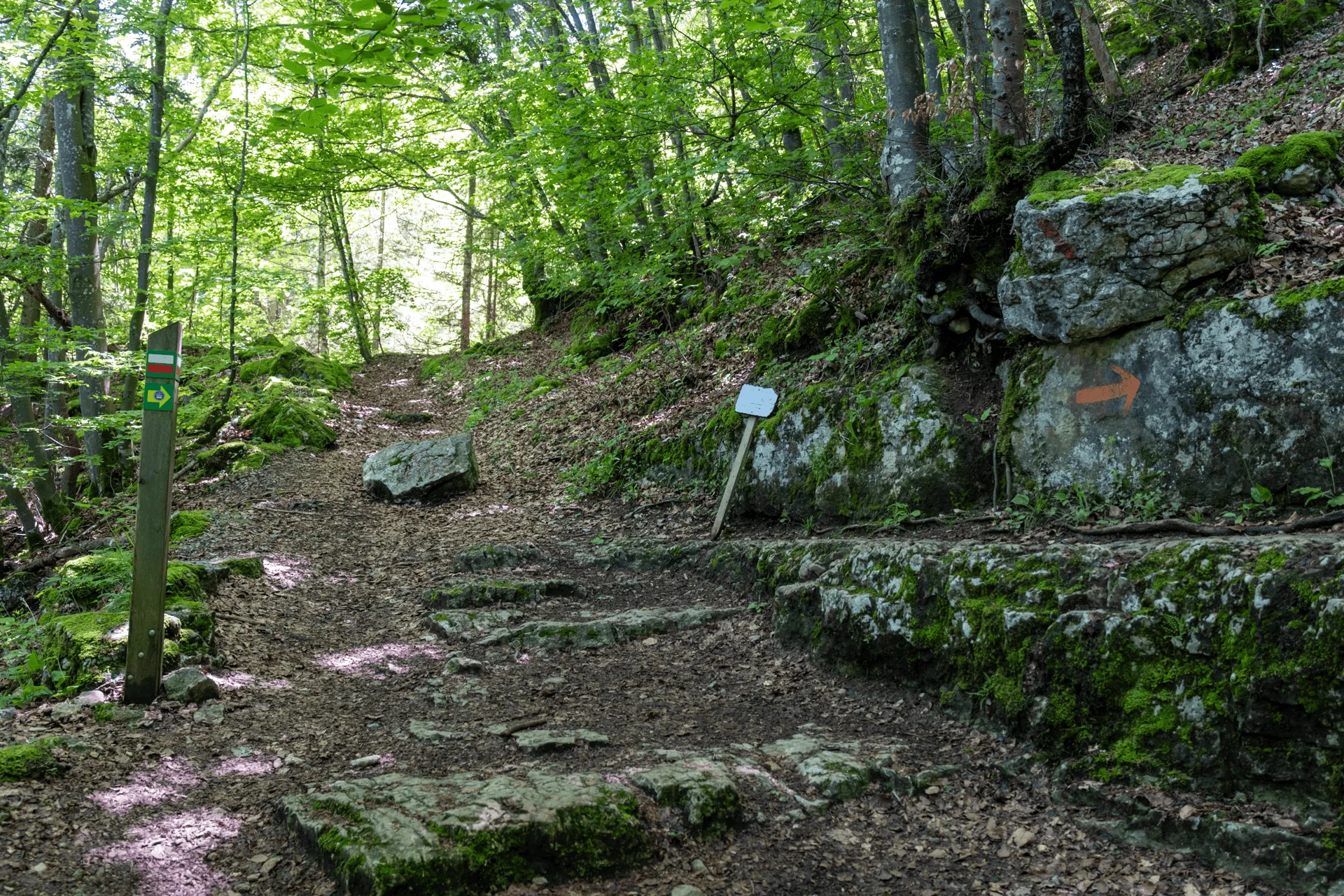
I passed a rock staircase, which I could see was partially carved out of the cliff-face on the right. The route 144 page tells me that this is from the 14th century? Pretty cool if that’s true.

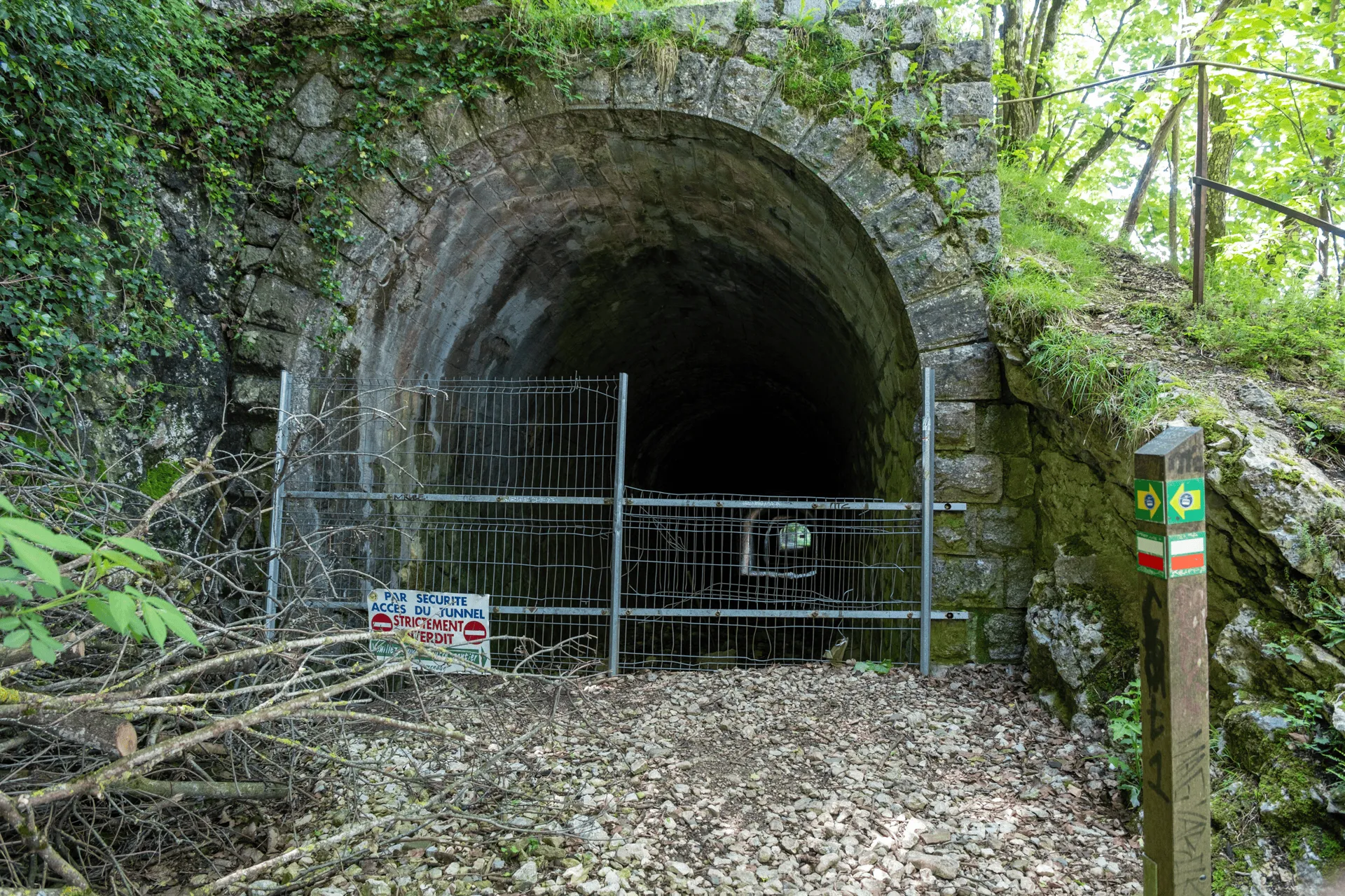
You’ll also pass a spooky-looking tunnel, which is unfortunately blocked off. Although the cable car up to the summit has been running for more than 90 years, prior to that there was also a cogwheel train, and the tunnel is a remnant of that. The first cogwheel train in Europe was Rigi’s, which started running in 1871, and Salève’s one was built in 1893 so not too far off. I wonder if there was boom in building them around that time?
Eventually you’ll head back into civilisation and pass through the French village of Monnetier. There’s actually a road heading all the way up to the summit of Salève, so this is less isolated than you would think.
It was here I also had an encounter with a kitty. I’m used to cats in Japan being quite suspicious of me, but to my surprise the moment I knelt down to take a photo of this guy, he came up to me straight away and started rubbing his body against my legs.
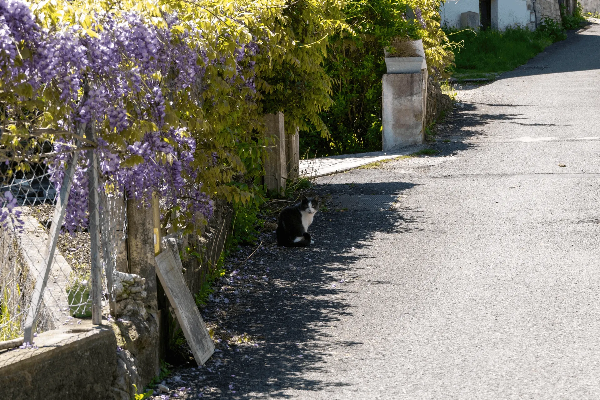
I’ve never owned a cat so I’m never quite sure where it’s safe to pat them, but they are pretty cute. I think I became slightly more of a cat person today.
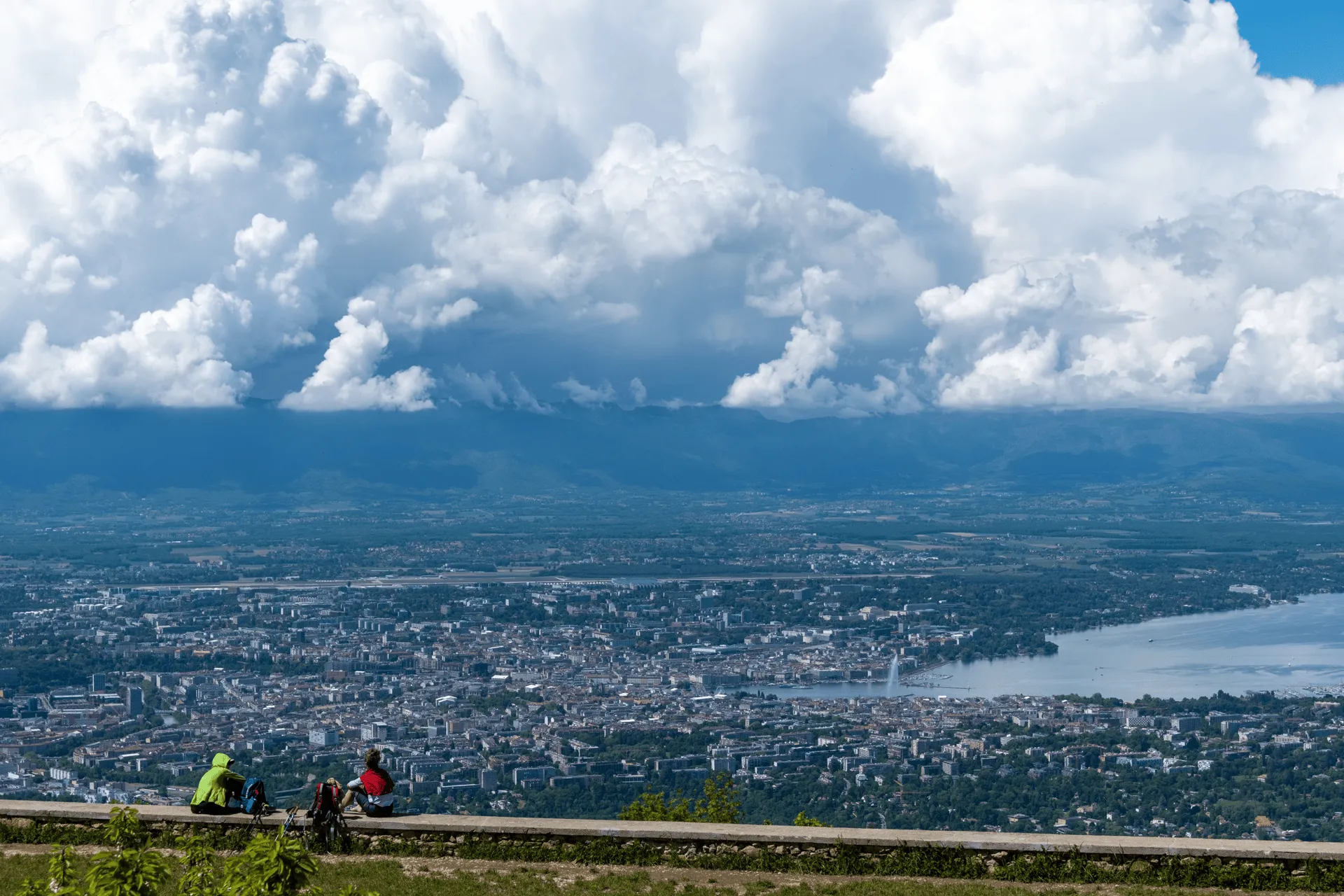
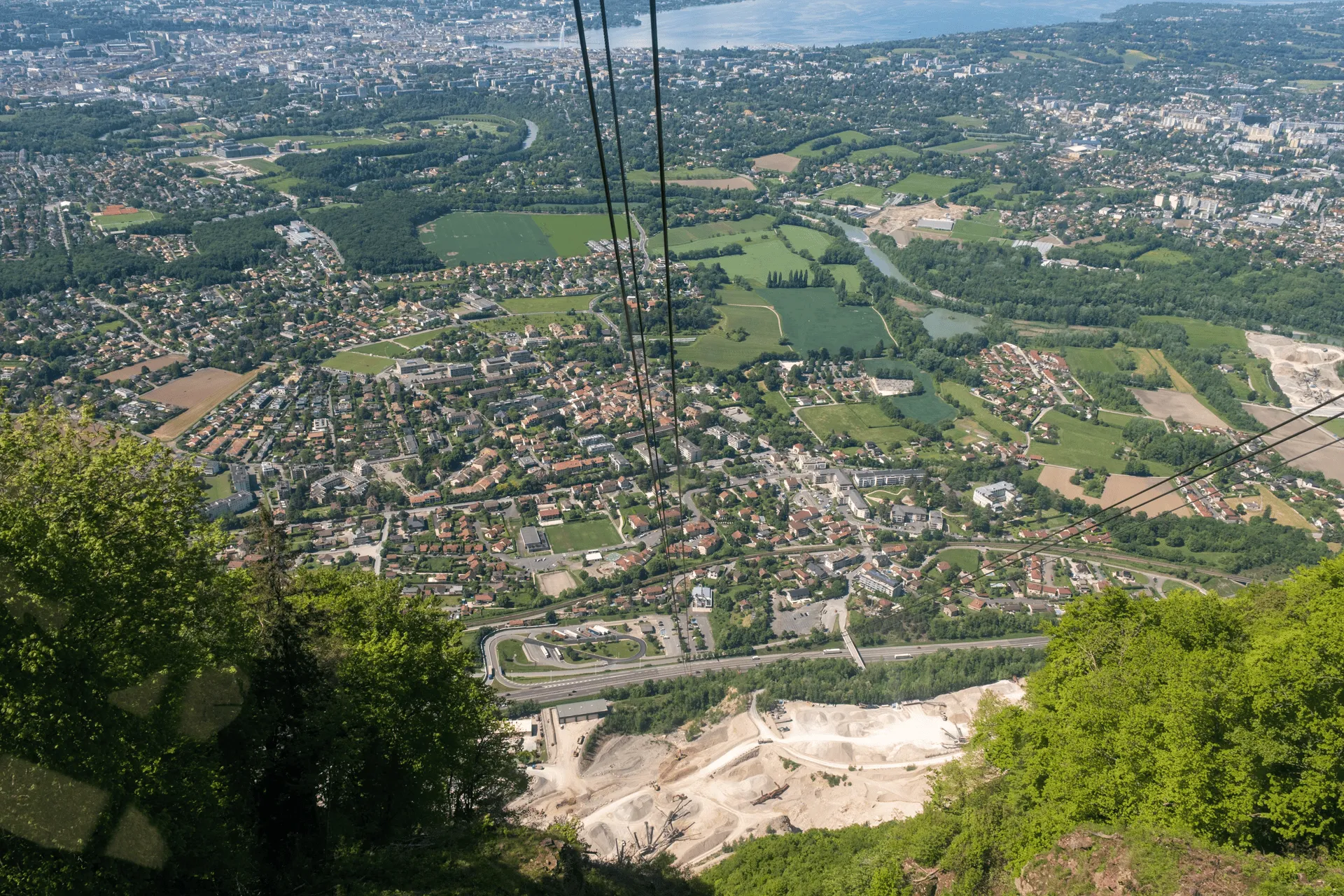
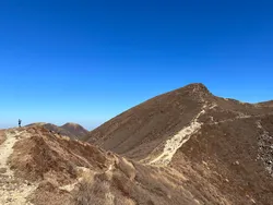
As you keep climbing there’s the opportunity to see out to the village of Veyrier and it’s surrounds below.
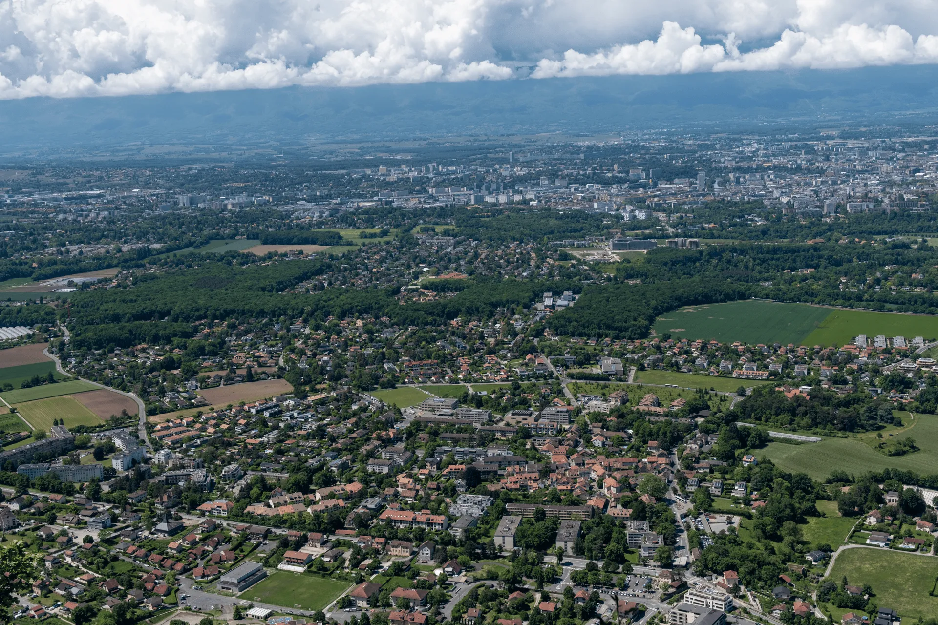
I didn’t realise at the time but the border control building is in the bottom right of the photo. I could probably draw a line and trace my entire hiking course down there.
There is over 700m of elevation gain on this hike, and the final part is quite steep. It intersects with a road a couple of times as well, so I started counting down how many intersections I had remaining until I reached the top.
As I found out later, the white and red stripes stacked on the trail marker means it’s a French GR (“great route”) footpath.
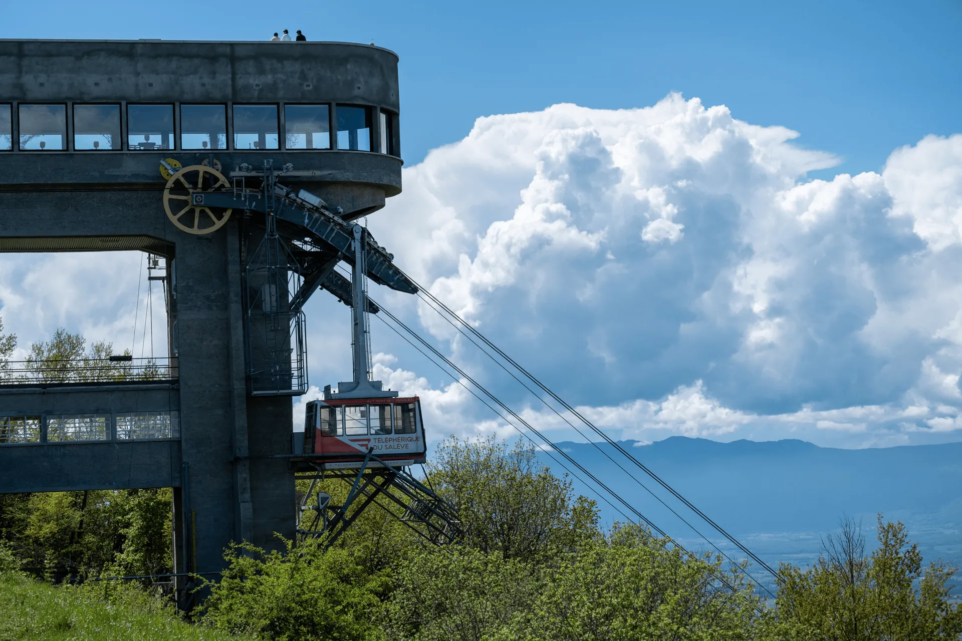
And eventually the cable car building comes into sight!
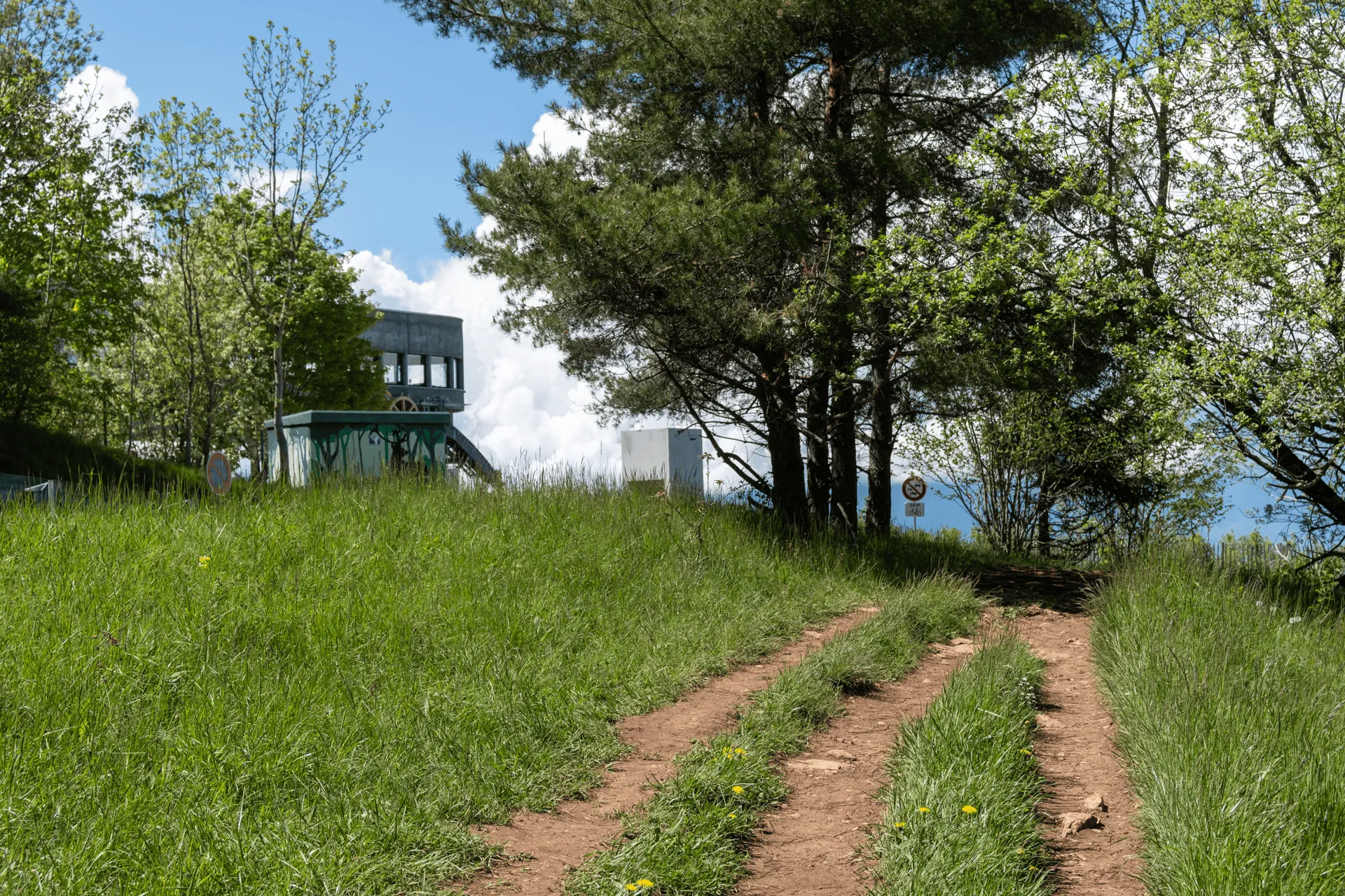
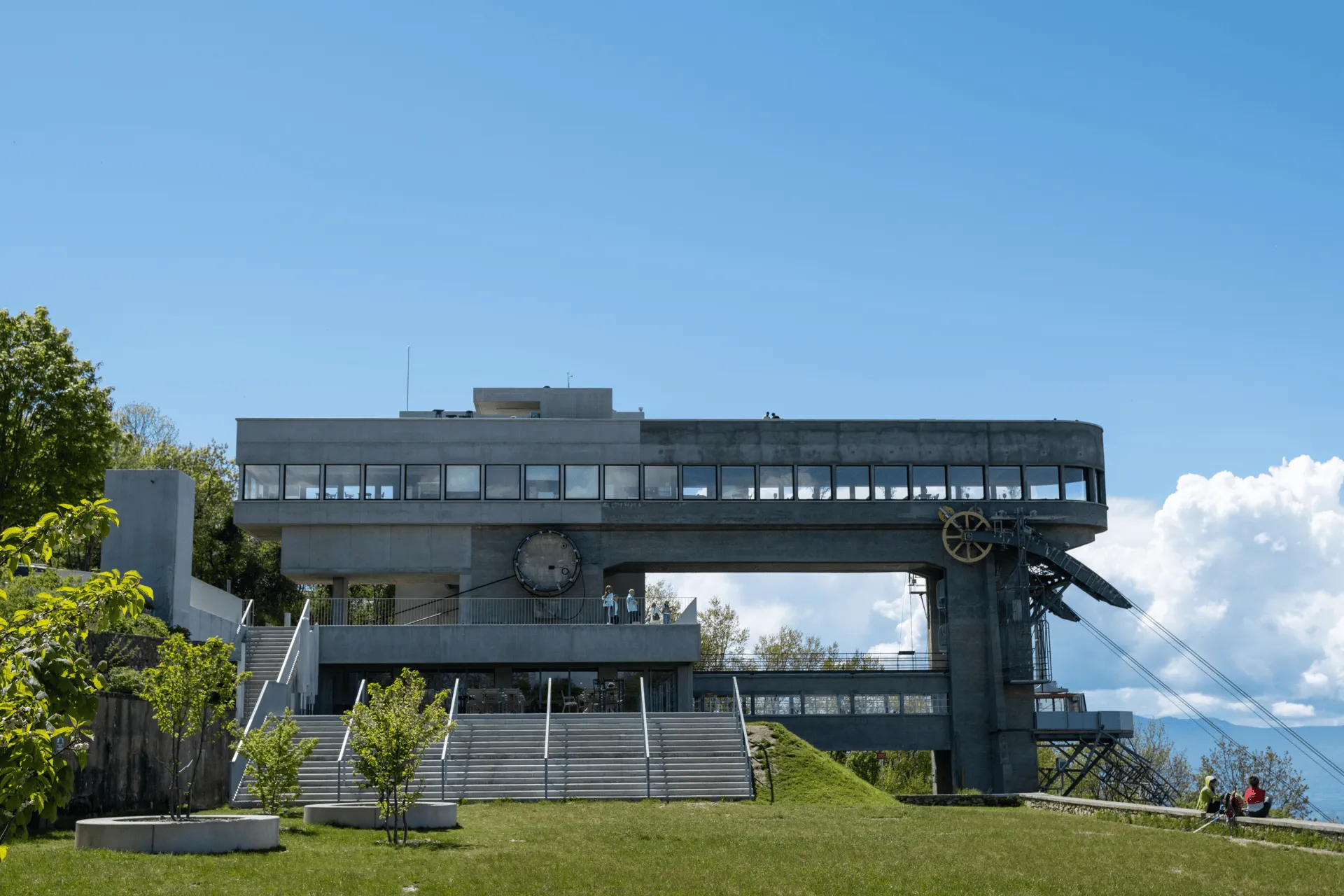
There was a little information board that mentions this was built in 1932 as a collaboration between a Swiss architect and French engineer, and is now a historic monument due to its age. There were also originally plans to attach a hotel to the back of it, but this got canned due to the “economic climate”.
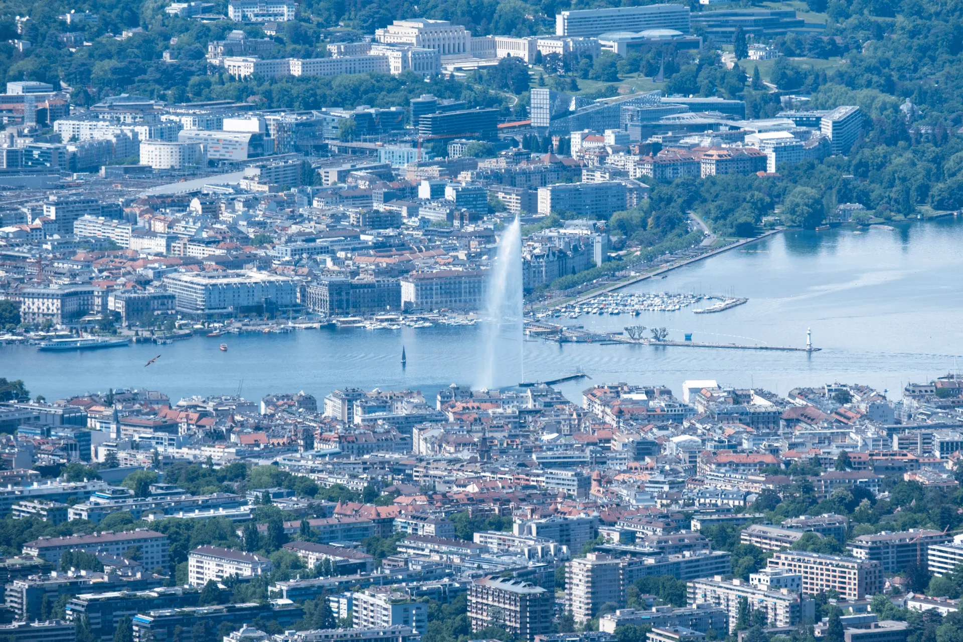
And of course, I have to show you the views.
You can see the city of Geneva and Lake Geneva below, plus Geneva’s 140m tall water fountain (Jet d’Eau). I walked around the water spout up close during my morning sightseeing, and I think actually seeing it from a distance like this was even cooler than seeing it up close.
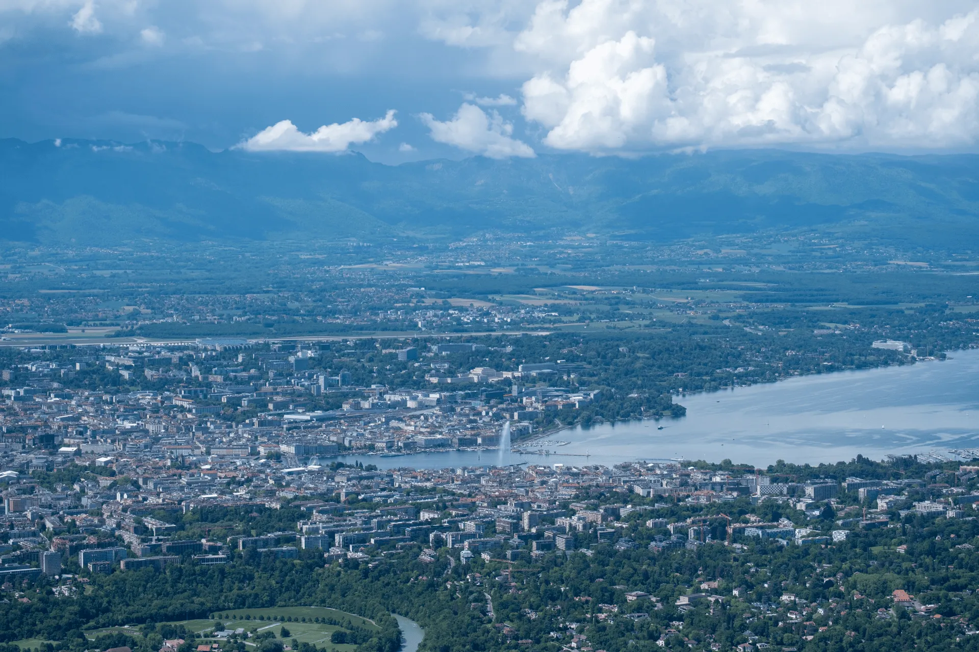
If you are curious why there is randomly a water fountain in Lake Geneva, it originally was a 30m tall version that was was used to release pressure on a hydraulic power plant. Then they realised it could be a tourist spot too, and they converted it into a much bigger version that you can see today. I don’t think it now has any use other than looking cool, though.
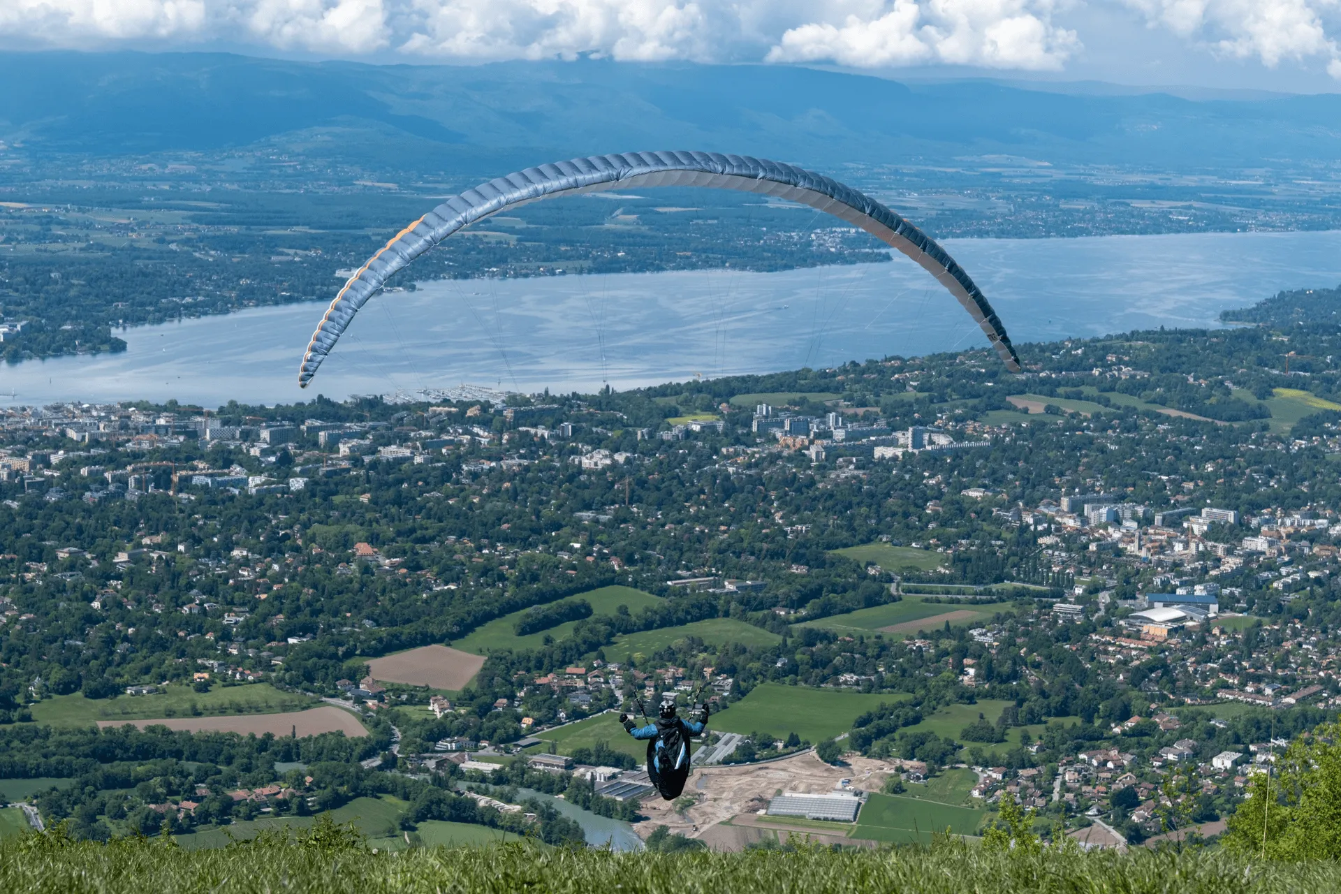
As I sat down on the rock ledge to enjoy a late lunch and the views, I spotted two men set their rather-large backpacks down near me. I assumed they were long-distance hikers, but to my surprise they suddenly started to pull out paragliding equipment. There is a rather large grassy hill at the peak, so it makes for a perfect take off point.
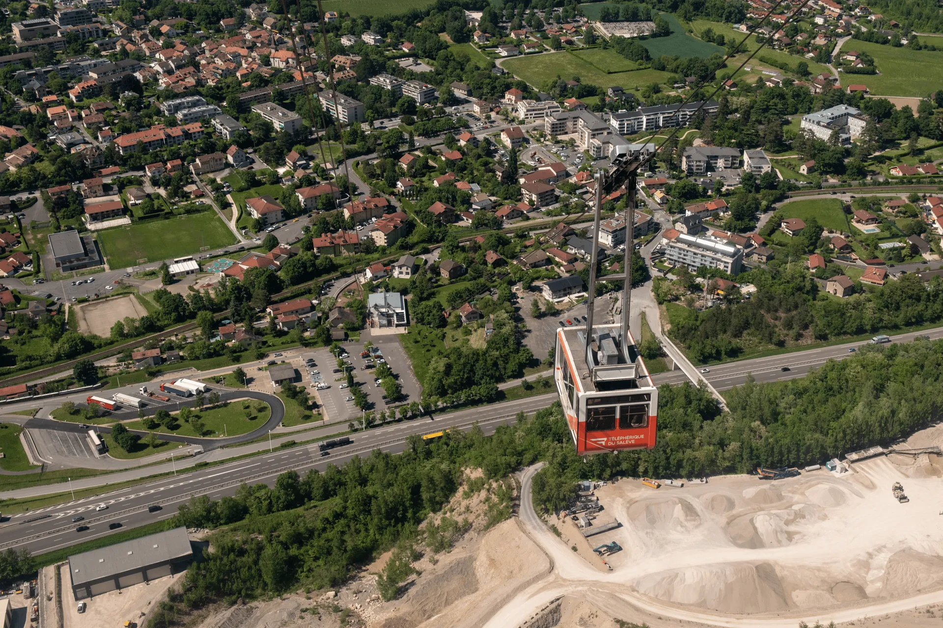
My hike ends with a trip down the Téléphérique du Salève cable car.
As you head down, you can also spot the Salève limestone quarry. It looks kind of ugly, but there are plans to shut it down in 2033. It reminds me of Japan’s Mt Buko which also has a limestone quarry sticking out of the side of it as well.
And that’s it for my time in Geneva! The next day I headed out to Montreux’s Rochers de Naye.
The hiking season for Mont Salève is April through October.
Since the main drawcard is really the view at the top, it would be worth double-checking that you can actually see the views from the summit before heading up. There’s a really high-quality webcam from the top of the cable car building (if you check it out at night, there are some really awesome night views). In my case, it was cloudy in the morning, but had cleared up by the afternoon when I began my hike.
The last cable car down leaves after 6pm, and the hike up takes 2 - 3 hours, so I would recommend starting your hike by 3pm at the latest to save you from having to walk back down.
The hiking course I followed was route 144 on SwitzerlandMobility. The hike has 7km and 780m of elevation gain, and should take you around 3 hours.
If you follow the route 144 course exactly, it starts at the “Veyrier, Pont de Sierne” bus stop, taking you through Veyrier and across the border into France before you begin your hike up the mountain. This is a 20 minute bus ride from Geneva’s city centre. If you need the toilet, I would go at the station before you begin your hike since there’s none on the trail. (The ones at the station are very clean, although unfortunately you need to pay to use them).
After you finish your hike, the bus stop closest to the cable car is “Veyrier, Douane” which is a 10 minute walk across the French border and back into Switzerland. From there it’s a 30 minute bus back to Geneva station.
You could start your hike from the Veyrier, Douane bus stop as well if you wanted to, since it’s not too far off the hiking trail. I’ll admit though that the actual hiking trail up is a little boring since it’s mostly just in the forest. I think if you are planning on hiking it anyway and you have the spare time, it’s worth doing the full 144 course so you have some more interesting spots on your hike to visit.
Both the bus stops are on the Swiss side, so if you have the Swiss Travel Pass, the fares are 100% covered. The cable car is not however, so you will need to pay 13 Euro to head down on it.
As a fun fact, the Wikipedia page for Salève puts its elevation at 1379m, which refers to the Grand Piton peak which seems like can be hiked from the France side. Usually when you refer to Mont Salève it seems to be the lower-elevation 1097m peak where the cable car goes to, though.
Comments
Leave a comment