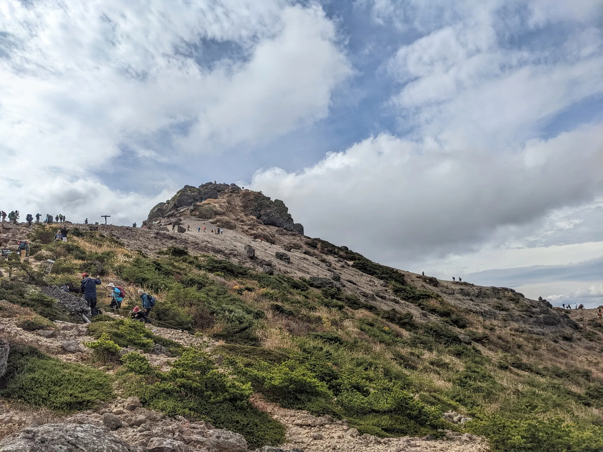
I made the trip out to Mt Adatara (安達太良山, Adatara-yama) in October 2022 to catch the autumn foliage. This was as part of a hiking event with around 15 people, and with the same Meetup.com group that I went with for Mt Azumaya.
Mt Adatara has a ropeway that takes you to near the peak. Although it’s all the way in Fukushima, this means it’s daytrip-accessible from Tokyo. However if you use the Shinkansen it is quite expensive for a daytrip. If you have the time and energy I recommend making a weekend out of it and pairing it with the nearby Mt Bandai.
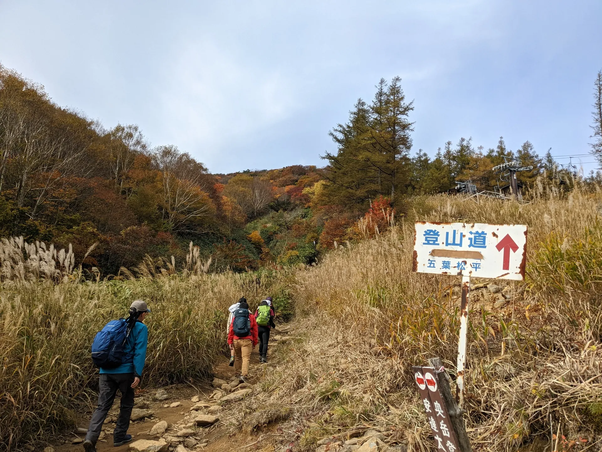
Our group opted not to use the ropeway, and we climbed from the trailhead for about an hour to reach the first peak, Mt Yakushi (薬師岳, Yakushi-dake). Most hikers use the ropeway, which takes you to right near here. Since we went in autumn foliage season, it was pretty crowded with hikers from this point onwards.
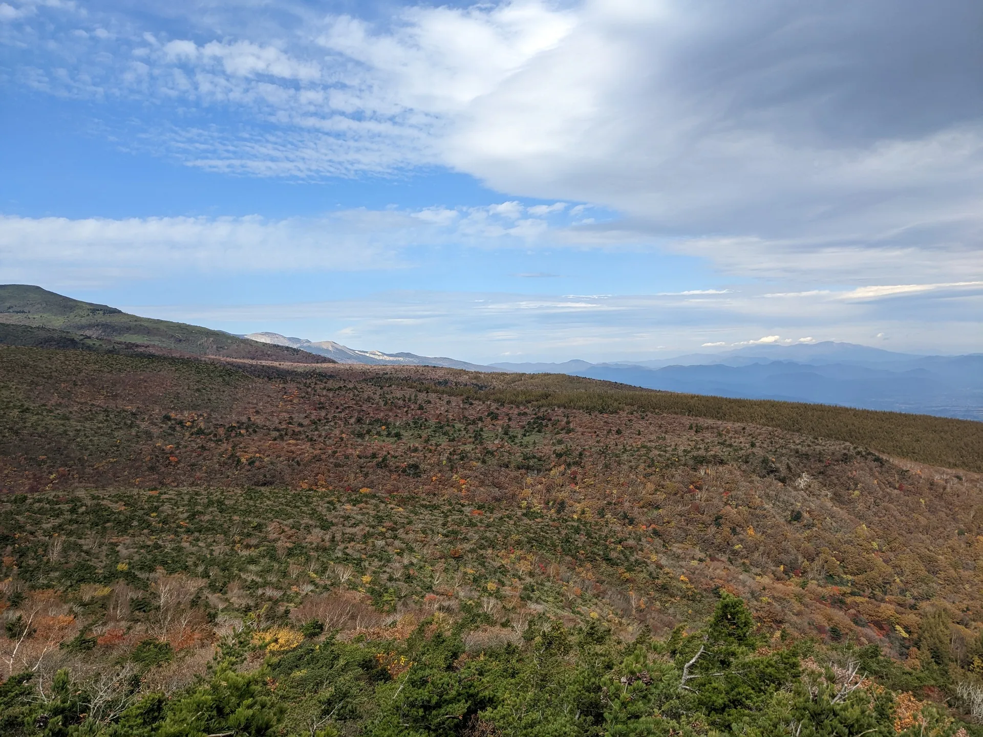
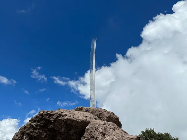
The “real sky” above Mt Adatara
From the peak of Yakushi-dake, there’s a seemingly random wooden post that says “the sky above is the real sky”.
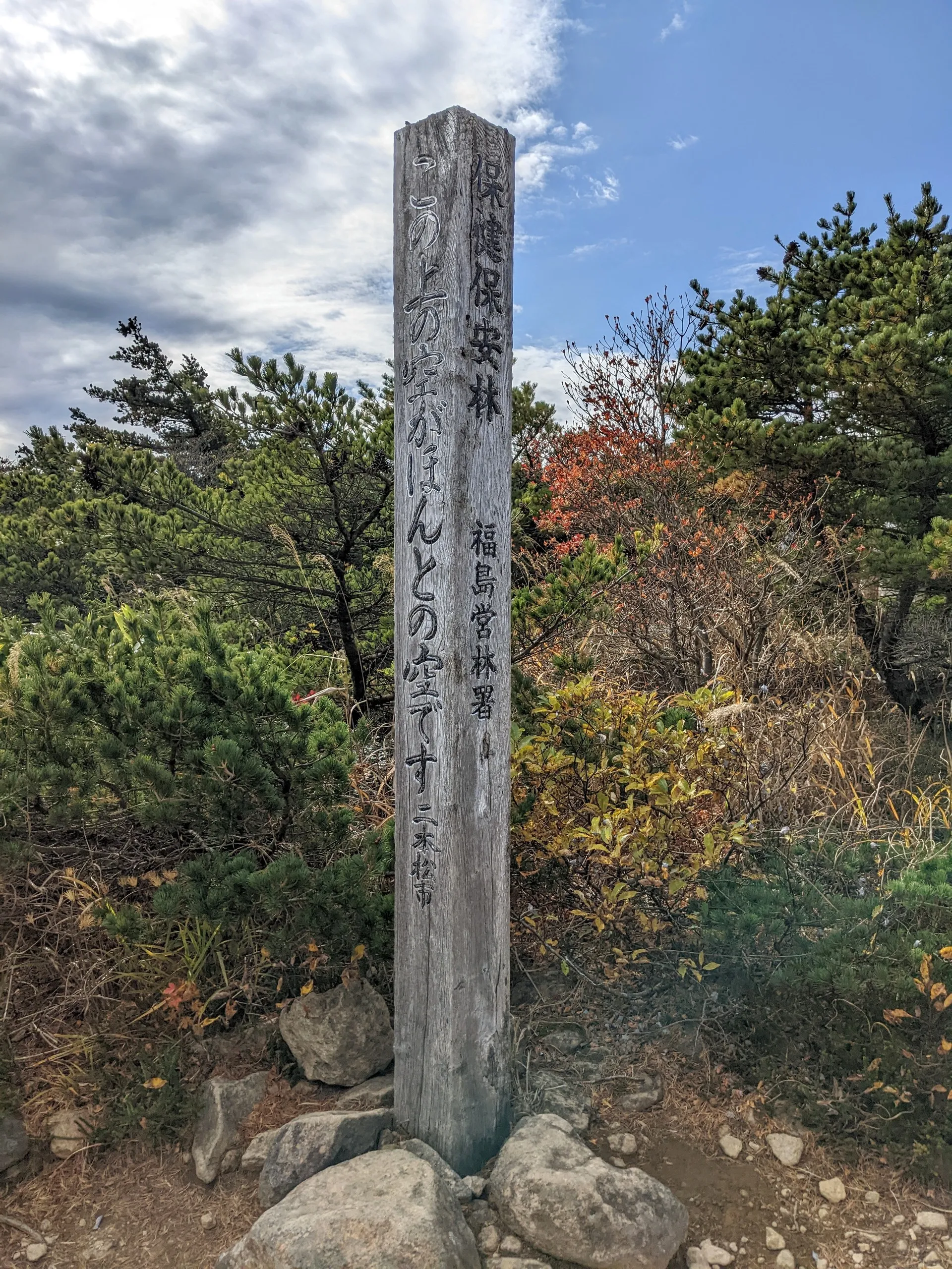
The story behind this is that in 1941, Kotaro Takamura published a series of poems about his wife after she passed away from tuberculosis.
One of the poems is about Chieko wanting to return to her hometown to see the “real” sky from the top of Mt Adatara. The poems are still famous today (available as other forms of media like songs as well), hence the wooden post.
From here it’s about another hour or so to reach the top of Mt Adatara. The summit is this funny spherical-looking thing which you can climb right to the top of. On the day we went it was really windy, so we went up, took photos, and came straight back down.

From the summit you can see across the mountain ridge. You can actually walk this route all the way back to the trailhead too. Unfortunately our group ran out of time, so we had to go back the same way we came and get the ropeway back down.
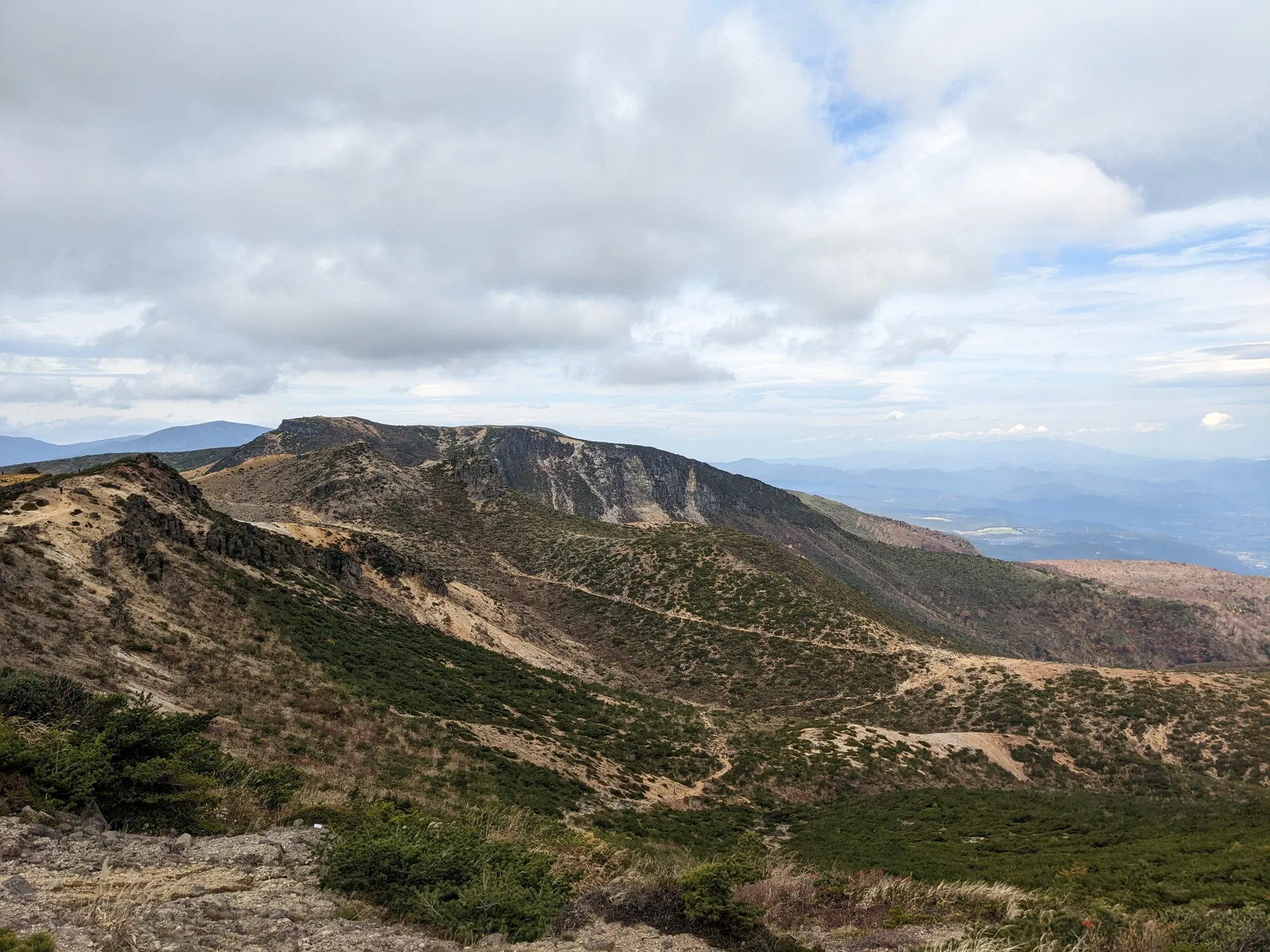
If you’re debating whether to use the ropeway, I recommend using it on the way up and then descending via the ridge. The climb from the trailhead wasn’t that exciting scenery-wise, so I would skip it. But I definitely want to do the full course without the ropeway in the future!
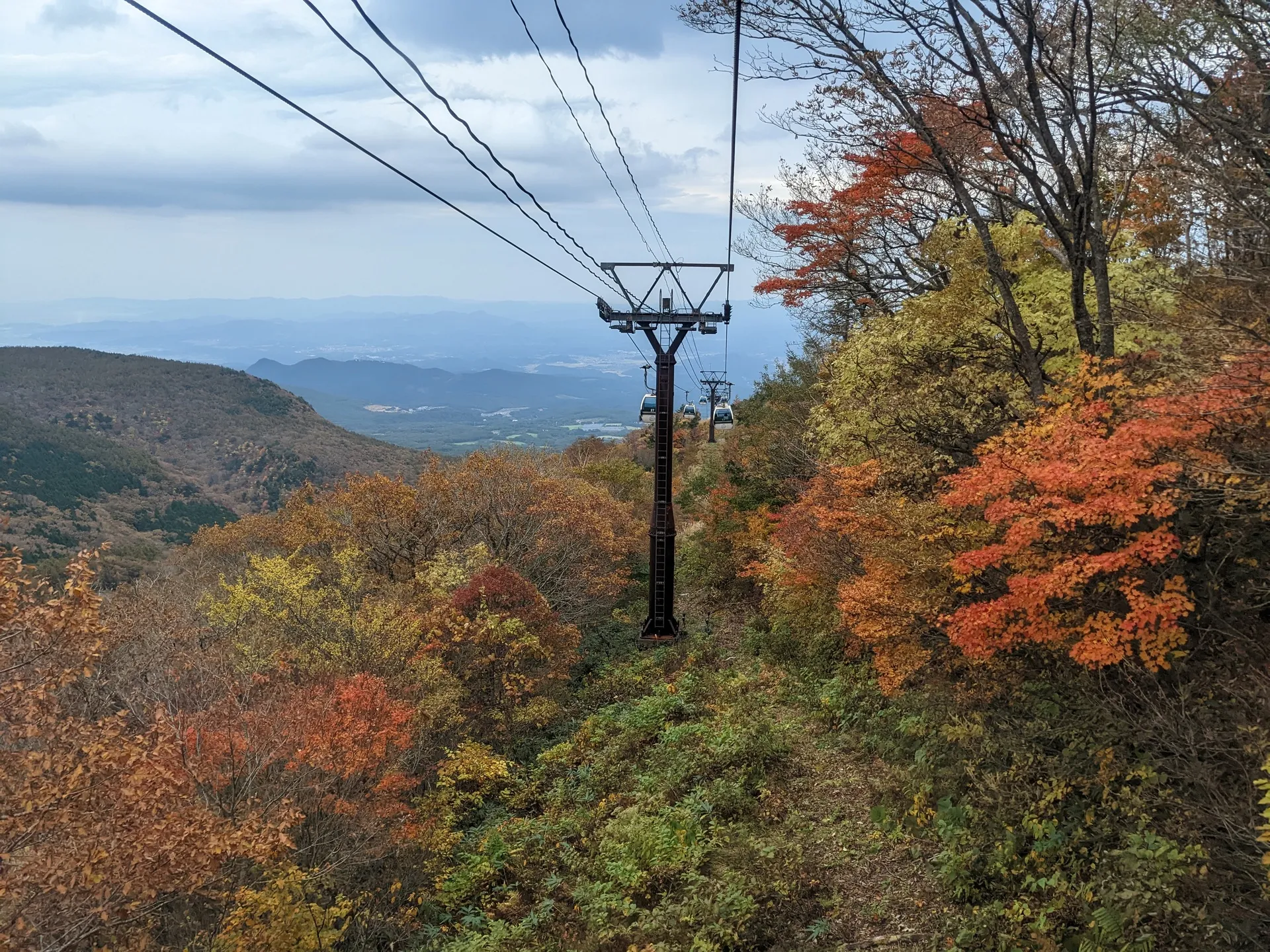
Since it is expensive to get to Fukushima from Tokyo, autumn is a great time to go for the best scenery. Of course, everyone else has the same idea so it will be the most crowded period too.
On my most recent trip to Fukushima I met an old man who had climbed all 100 of Fukushima’s famous mountains. He told me that Mt Adatara was the prettiest mountain for autumn leaves. So if you wanted a local’s opinion too, I think it makes it definitely worth the visit!
Hiking course details
| Date climbed | Length | Course time |
|---|---|---|
| 2022-10-22 | 6.5km | 3h45m (the expected time for an average hiker without breaks) |
This course can be made easier by taking the ropeway on the way up or down.
There are toilets available at the trailhead.
Public transport access with example schedule
For the latest bus schedule, I would recommend googling “奥岳登山口 バス”. You can access the 2023 bus schedule here.
| Time | Location | Transport | Cost | |
|---|---|---|---|---|
| 06:12 | Tokyo (東京) | Shinkansen | 8958 | |
| 08:05 | Nihonmatsu (二本松) | |||
| 08:15 | Nihonmatsu (二本松) | Bus | 800 | |
| 09:05 | Okudake trailhead (奥岳登山口) |
Depending upon the timetable, you may need to get off the bus part-way at 岳温泉 and transfer onto another bus. If you do need to transfer, the two bus stops are right next to each other so you’ll have no issues with getting lost.
| Time | Location | Transport | Cost | Notes |
|---|---|---|---|---|
| 15:30 | Okudake trailhead (奥岳登山口) | Bus | 800 | + 1000 for the ropeway |
| 15:50 | Nihonmatsu (二本松) | |||
| 17:02 | Nihonmatsu (二本松) | Shinkansen | 8958 | |
| 19:16 | Tokyo (東京) | |||
| Trip total: | 20516 |
Leave a comment