Mt Amagi (天城山)
Mt Amagi (天城山, Amagi-san) is a 100 Famous Mountain on the Izu Peninsula in Shizuoka. Public transport is a little bit of a pain, but with a relatively short course it is daytrip-accessible from Tokyo.
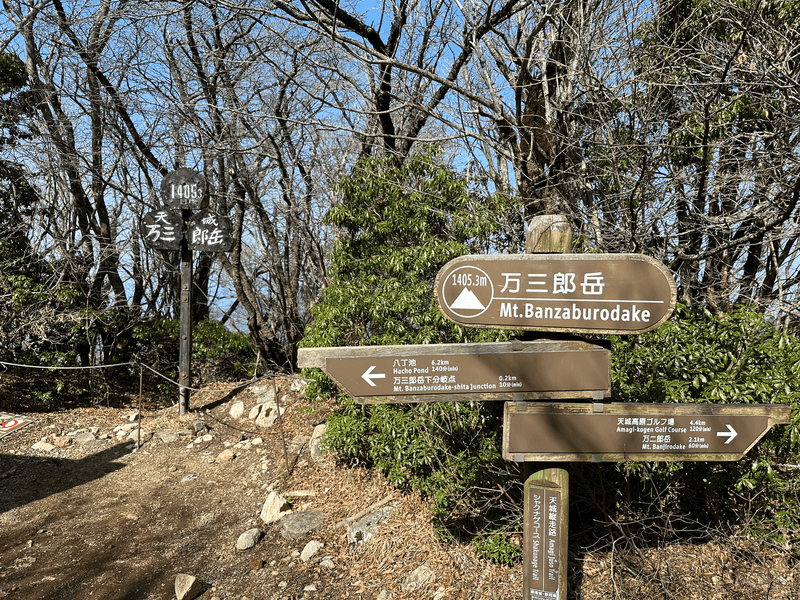
Mt Amagi doesn't actually refer to a specific peak, so to count as having climbed the 100 Famous Mountain, you have to pass by its highest point of 万三郎岳 (Banzaburou-dake) at 1406m.
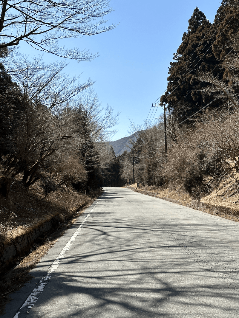
Due to its relatively low elevation, we were able to climb it in March of 2023 without any snow. However be aware that until mid-March, the bus route ends about 3km before the trailhead.
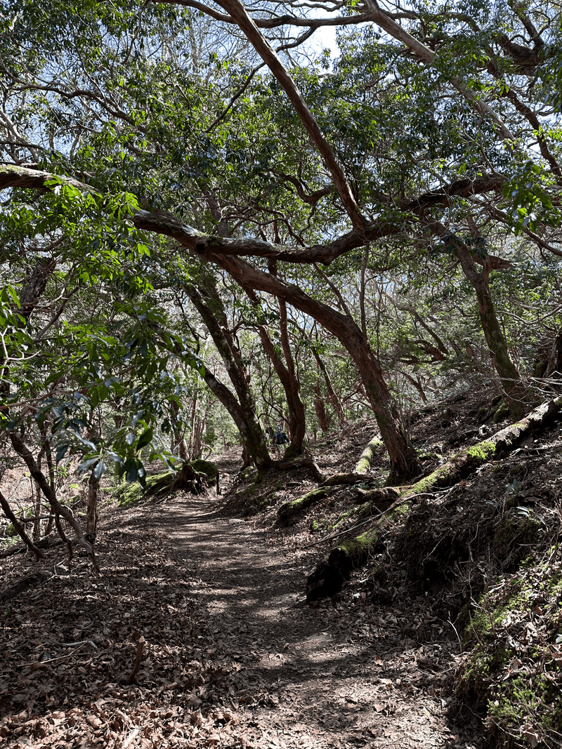
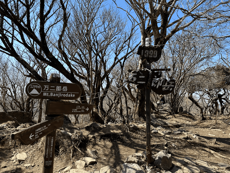
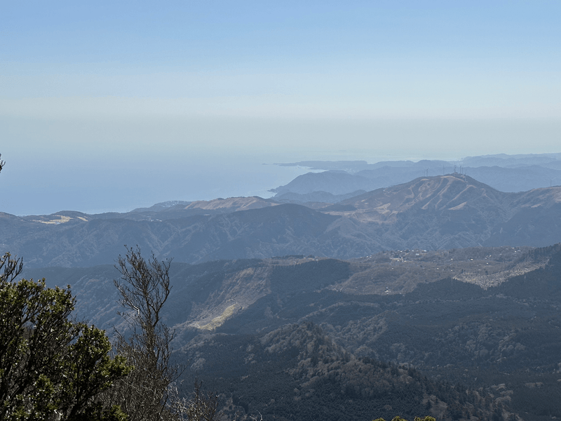
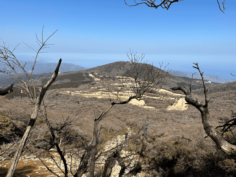
I will be honest that for a 100 Famous Mountain, there wasn't very much scenery to look at, and you were in amongst the trees for most of it. However there is a type of tree called an Asebi on Mt Amagi that blooms with white flowers. According to the signpost on the trail, it's supposed to flower between March and May, although at the point we went in mid-March there was absolutely no flowers.
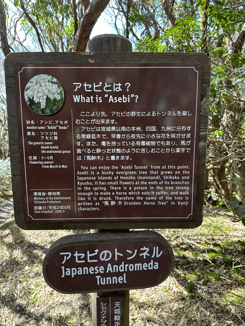
According to another hiker who went at the beginning of April it feels like a completely different mountain when you do go during the blooming season, so I recommend trying to time your hike with this if you can!
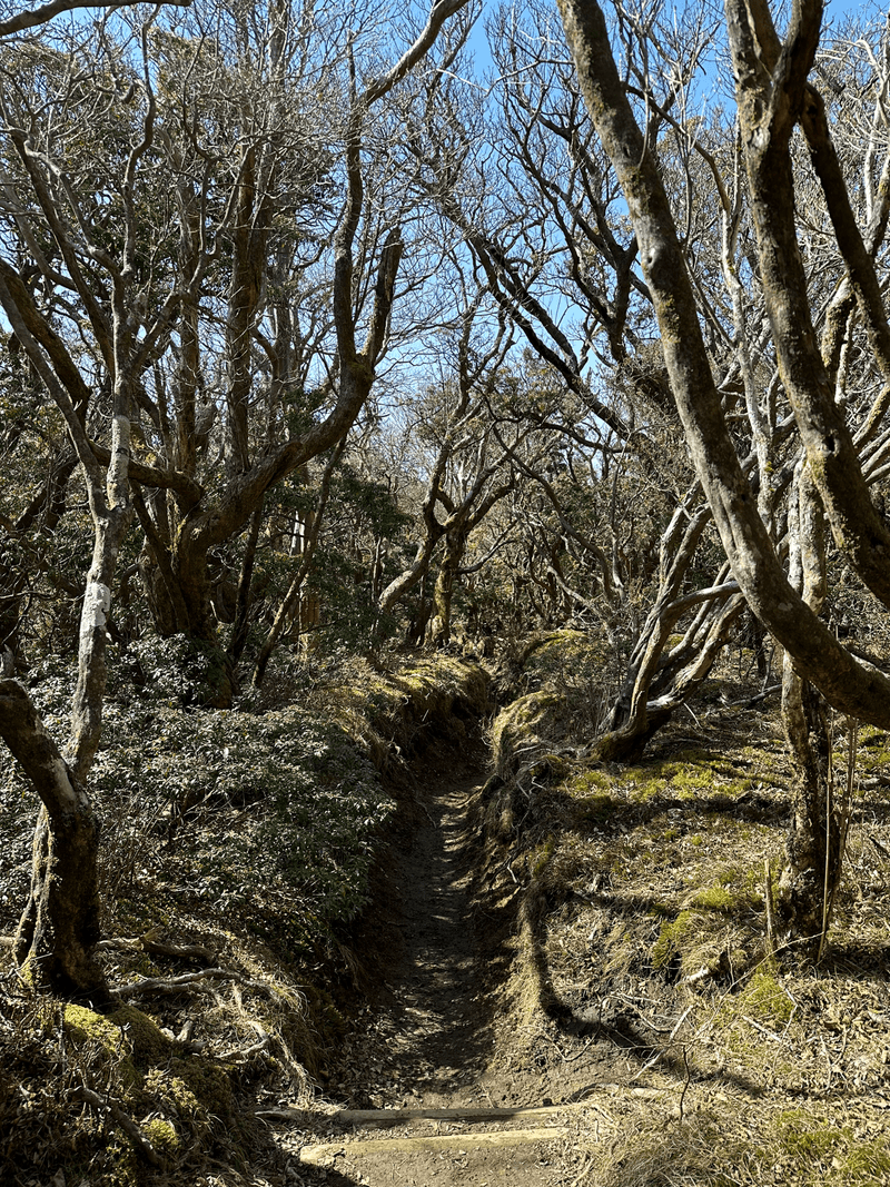

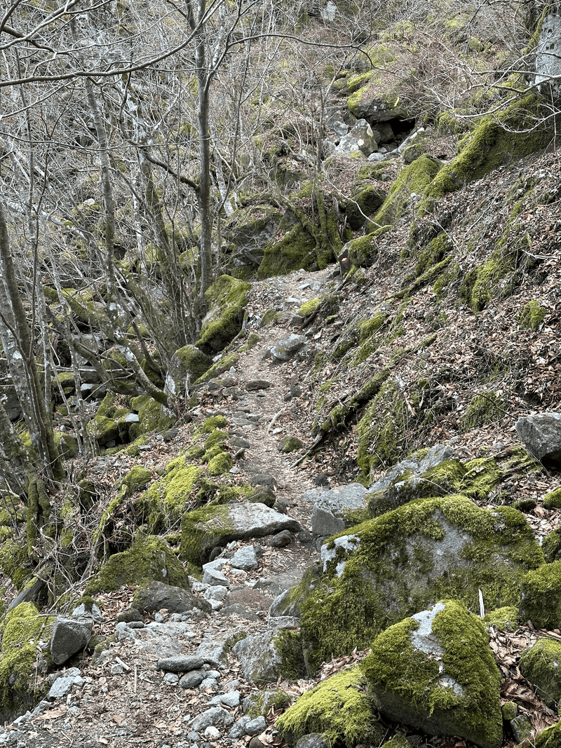
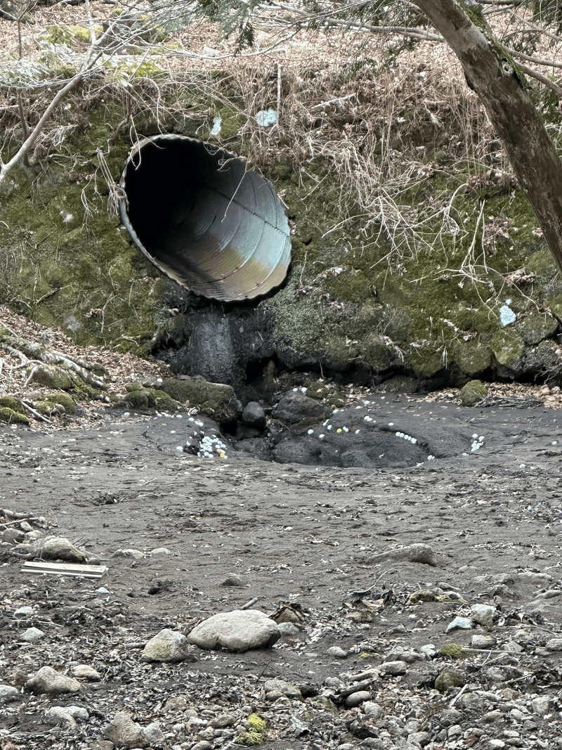
With the long walk from the bus stop to the trailhead, this was quite a tiring course. Ito is known for its seafood, so we made sure to eat some before finally heading home.

Hiking course details
| Date climbed | Length | Course time |
|---|---|---|
| 2023-03-11 | 8km | 4h30m (the expected time for an average hiker without breaks) |
This was a loop course starting and ending at the 天城縦走登山口 (Amagi-juusou-tozanguchi). There is a large carpark here, and if you get the bus it should drop you off right next to it.
There are toilets available next to the car park. But maybe due to the winter season when we went it was closed, and instead you are allowed to use the toilets at the nearby golf course.
Public transport access with example schedule
| Time | Location | Transport | Cost | |
|---|---|---|---|---|
| 05:20 | 東京(とうきょう) | Train | 2310 | |
| 07:49 | 伊東 (いとう) | |||
| 07:55 | 伊東 | Bus | 510 | |
| 08:50 | 天城縦走登山口 (あまぎじゅうそうとざんぐち) |
If you want to climb this in the off-season (between January and mid-March) the bus route stops partway at スカイヒルズ下, about 3km from the trailhead.
We didn't realise this, and so what was supposed to be a 8km hike turned into 14km one instead. Make sure to doublecheck the bus timetables!
| Time | Location | Transport | Cost | |
|---|---|---|---|---|
| 16:10 | 天城縦走登山口 | Bus | 510 | |
| 17:05 | 伊東 | |||
| 17:22 | 伊東 | Train | 2310 | |
| 19:37 | 東京 | |||
| Trip total: | 5640 |


