Mt Ashiwada (足和田山)
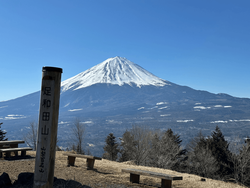
Mt Ashiwada (足和田山, Ashiwada-yama) is located at the western end of Lake Kawaguchiko. As part of one of the mountains from the 36 views of Mt Fuji series, as well as being a 100 Famous Mountain of Yamanashi, you can get a clear view of Fuji from partway up the trail. At 7.5km and 800m of elevation gain, it was beginner-friendly and overall well-maintained.
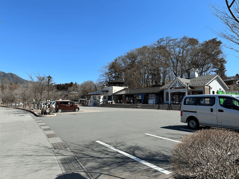
The trail starts a short distance from the Katsuyama Michi-no-Eki and is accessible by both car and public transport.
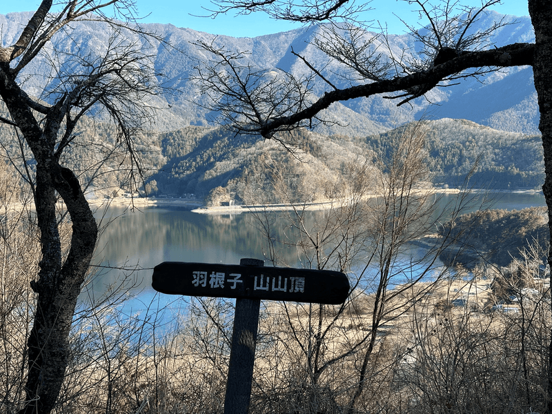
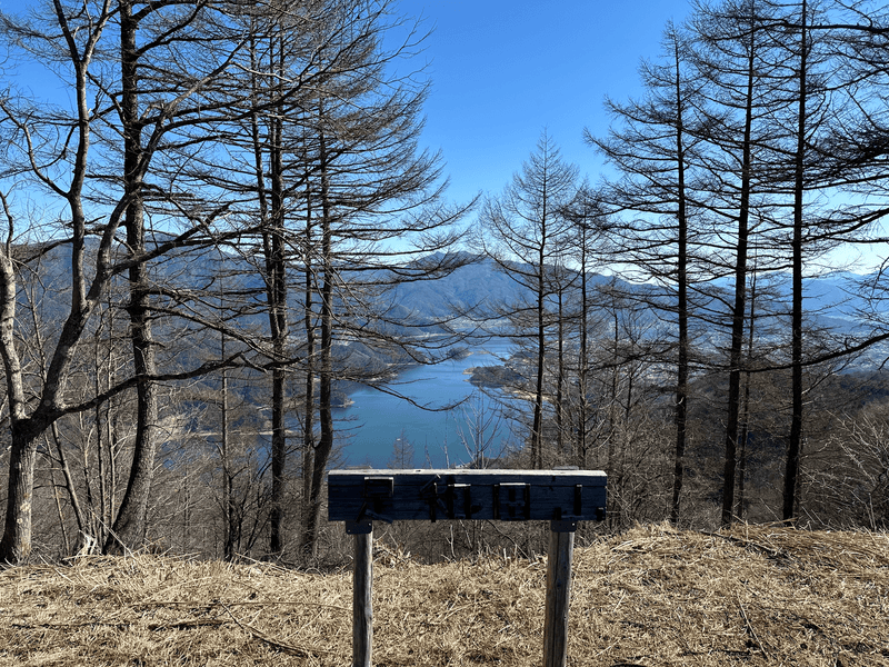
Within 15 minutes of beginning the hike you will reach the first peak of Mt Haneko (羽根子山, Haneko-yama), where you can get a glimpse of Lake Kawaguchiko, partially covered by trees.
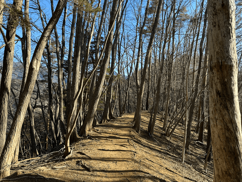
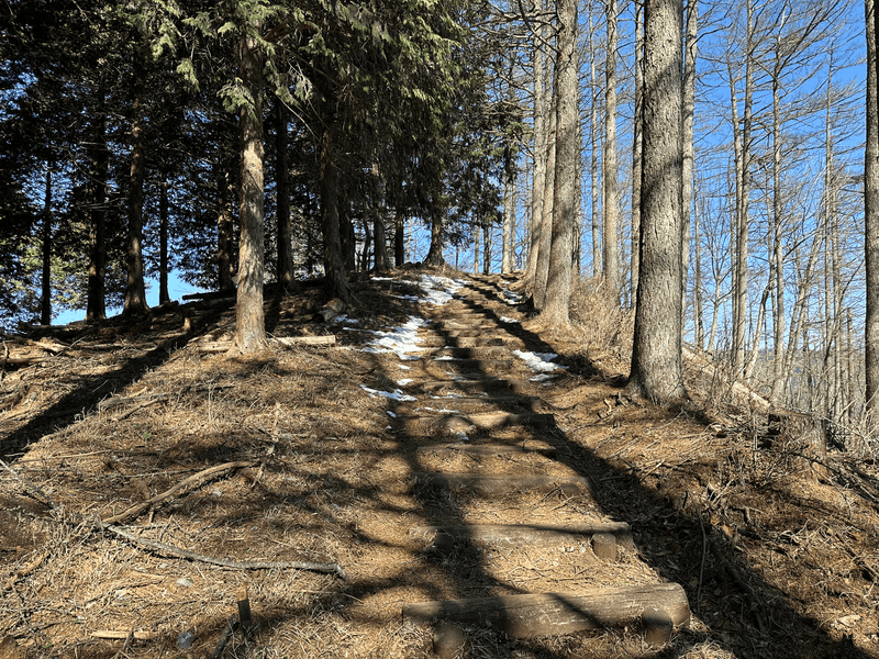
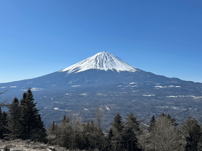
From here it's a relatively easy trail. From partway up you will get an excellent view of Mt Fuji (arguably as good or better than from the top itself!)
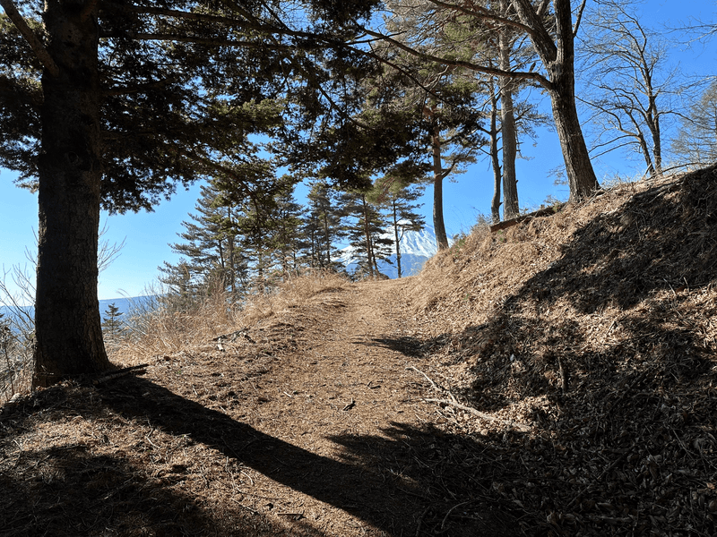
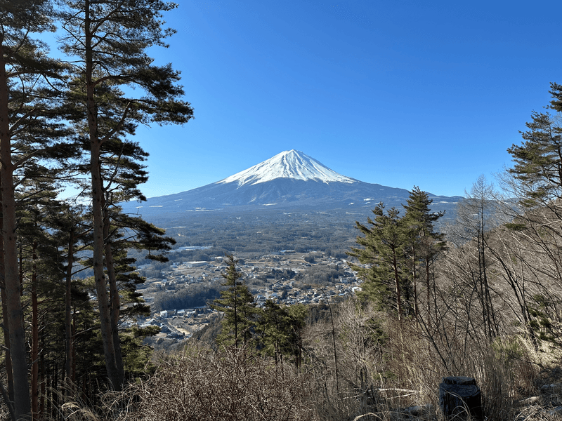
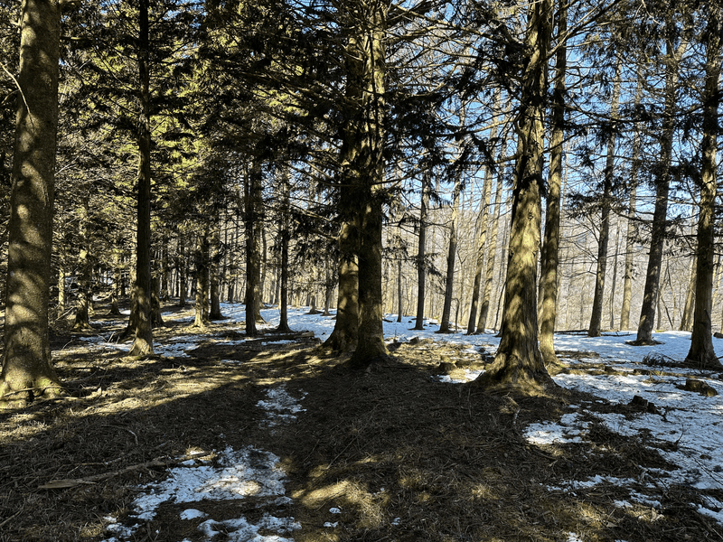
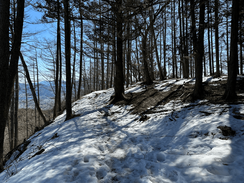
The mountain peak has an elevation of 1354m, and since I went at the end of March there was still some snow remaining near the peak.
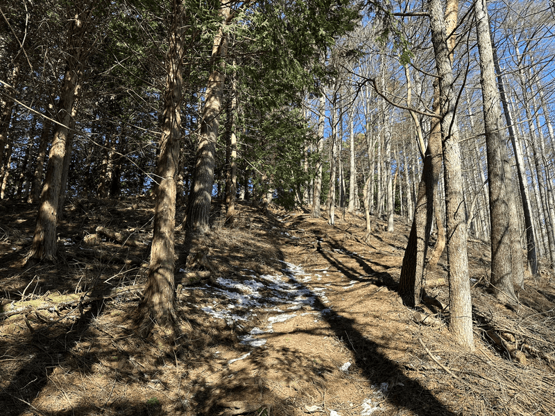
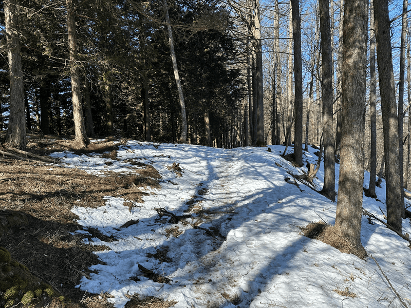
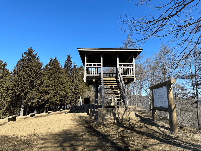
The top comes with a little wooden deck to get a higher view, and some wooden benches to sit on to take in the views.

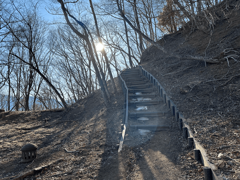
Due to the snow, on the way back down I accidentally made a wrong turn. I didn't realise for a good half kilometre, and it was mostly down stairs as well so I inadvertently made my hike a little bit longer. Oops!
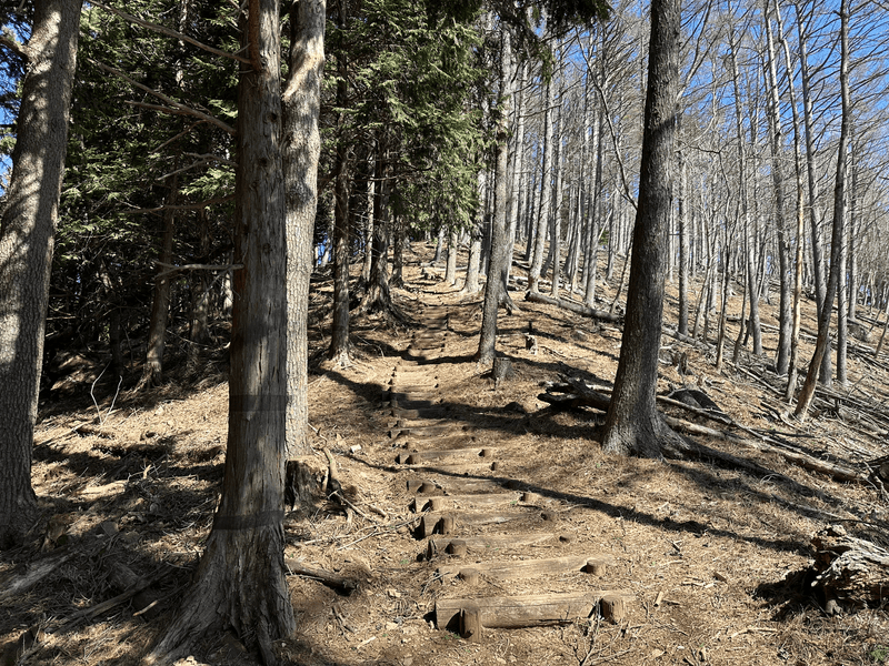
I missed a fork because I saw snow in front of me and a dirt path to my right, and assumed I should go down the dirt path.
Since this hike was a short one, on the same day I also drove over to Lake Yamanakako to climb Myojinyama.
Hiking course details
| Date climbed | Length | Course time |
|---|---|---|
| 2024-03-22 | 7.6km | 4h30min (the expected time for an average hiker without breaks) |
This is a out-and-back course beginning and ending at Michi-no-eki Katsuyama. There are toilets available at the carpark.
Public transport access with example schedule
| Time | Location | Transport | Cost | |
|---|---|---|---|---|
| 06:49 | 東京(とうきょう) | Highway bus | 2060 | |
| 08:52 | 河口湖 (かわぐちこ) | |||
| 09:10 | 河口湖 | Bus | 380 | |
| 09:29 | 道の駅 かつやま (みちのえき かつやま) |
Mt Ashiwada is accessed via a highway bus to Kawaguchiko station and then a transfer onto a local bus. I have more detailed information on a separate page about access to Kawaguchiko station.
| Time | Location | Transport | Cost | |
|---|---|---|---|---|
| 14:27 | 道の駅 かつやま | Bus | 380 | |
| 14:45 | 河口湖 | |||
| 14:59 | 河口湖 | Express bus | 2060 | |
| 17:06 | 東京 | |||
| Trip total: | 4880 |
Car access details
| Car park | Time (from Tokyo) | Round trip cost |
|---|---|---|
| 道の駅 かつやま (みちのえき かつやま) | 1h50min | ~8400 yen |
This carpark isn't too big, but since I went on a weekday it was on the emptier side.
I'm not too sure about the ethics of using a michi-no-eki as a carpark before your hikes, since their main purpose is as a roadside station where you can take a break before continuing on with your journey. To be safe I generally try to use them on weekdays when they are less crowded.


