hikes
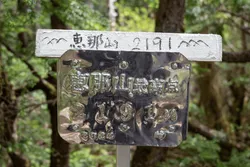
Mt Ena (恵那山)
14 Jun
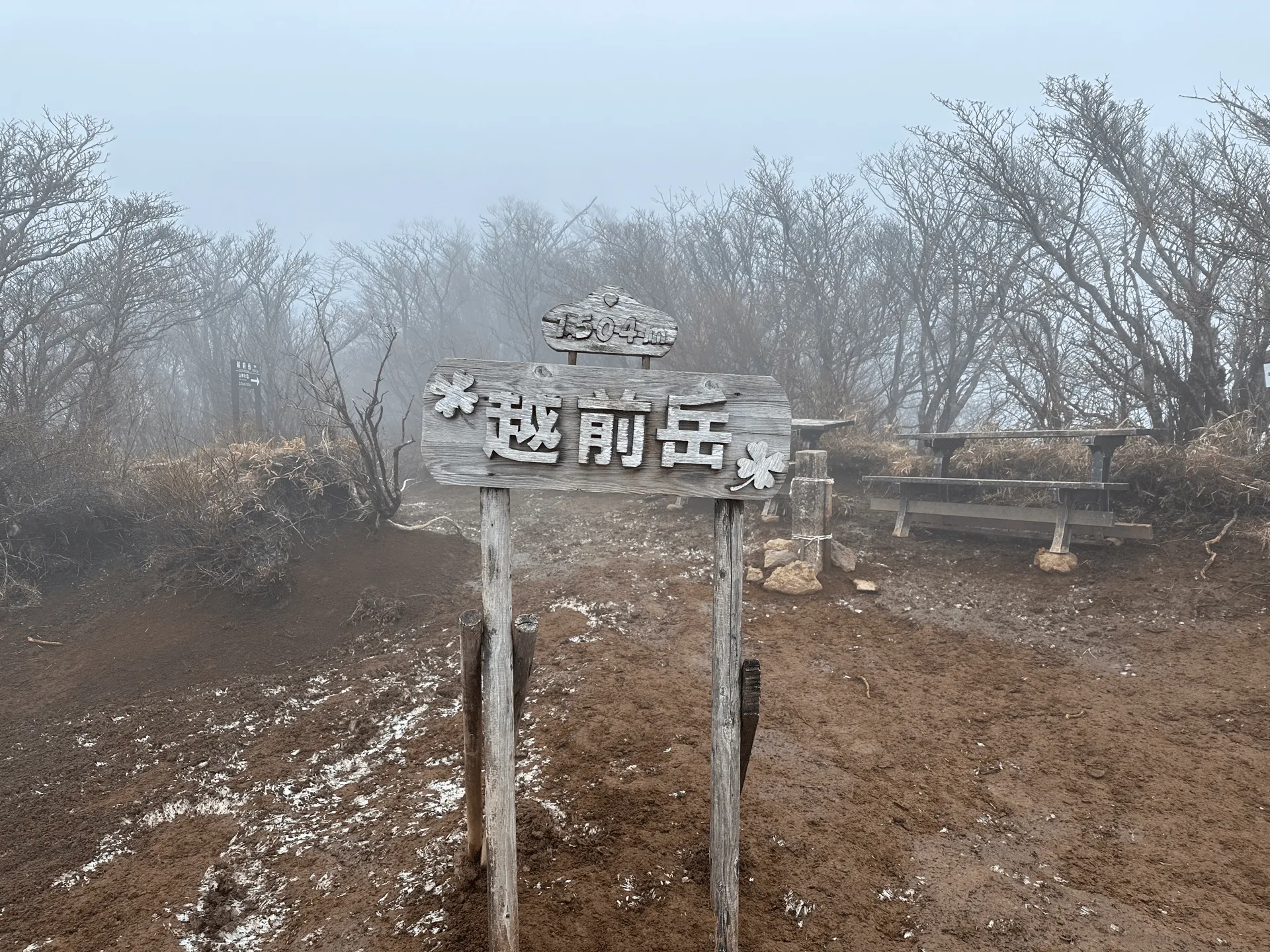
I climbed Mt Echizen-dake (越前岳, Echizen-dake) as my first mountain of 2024, in the hopes of getting a great view of Mt Fuji. It’s a 200 Famous Mountain and part of the 36 views of Fuji series, along with the neighbouring Mt Kuro-dake (黒岳 Kuro-dake), so I climbed the two as a set.
From my drive to the trailhead, I could see Mt Fuji appearing and disappearing behind the clouds, so I was a bit unsure what my chances of seeing Fuji were, but I had my fingers crossed as I began my hike.
First I headed towards Kuro-dake, which doesn’t take too long from the start of the trail. Getting closer to its peak, it got quite windy and was fairly cold.
(Confusingly, there are two Kuro-dakes in the list of 36 Fuji mountains. This one only has an elevation of 1087m, while the more famous one has an elevation of 1793m.)
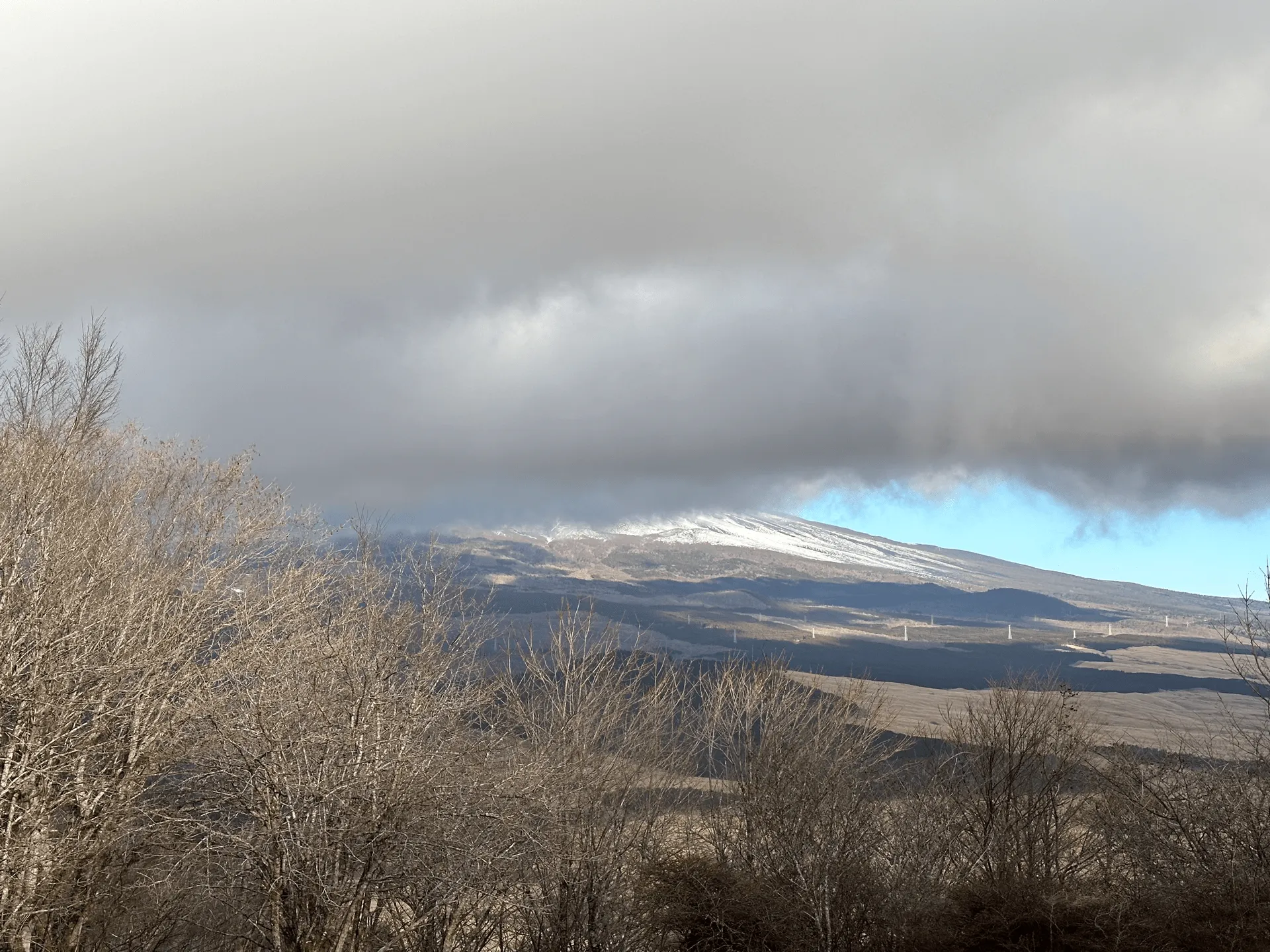
Unfortunately though, Fuji decided that he didn’t want to show himself. Since the clouds were moving quite a bit I waited about 10 minutes in the hopes of him showing up, but no luck!
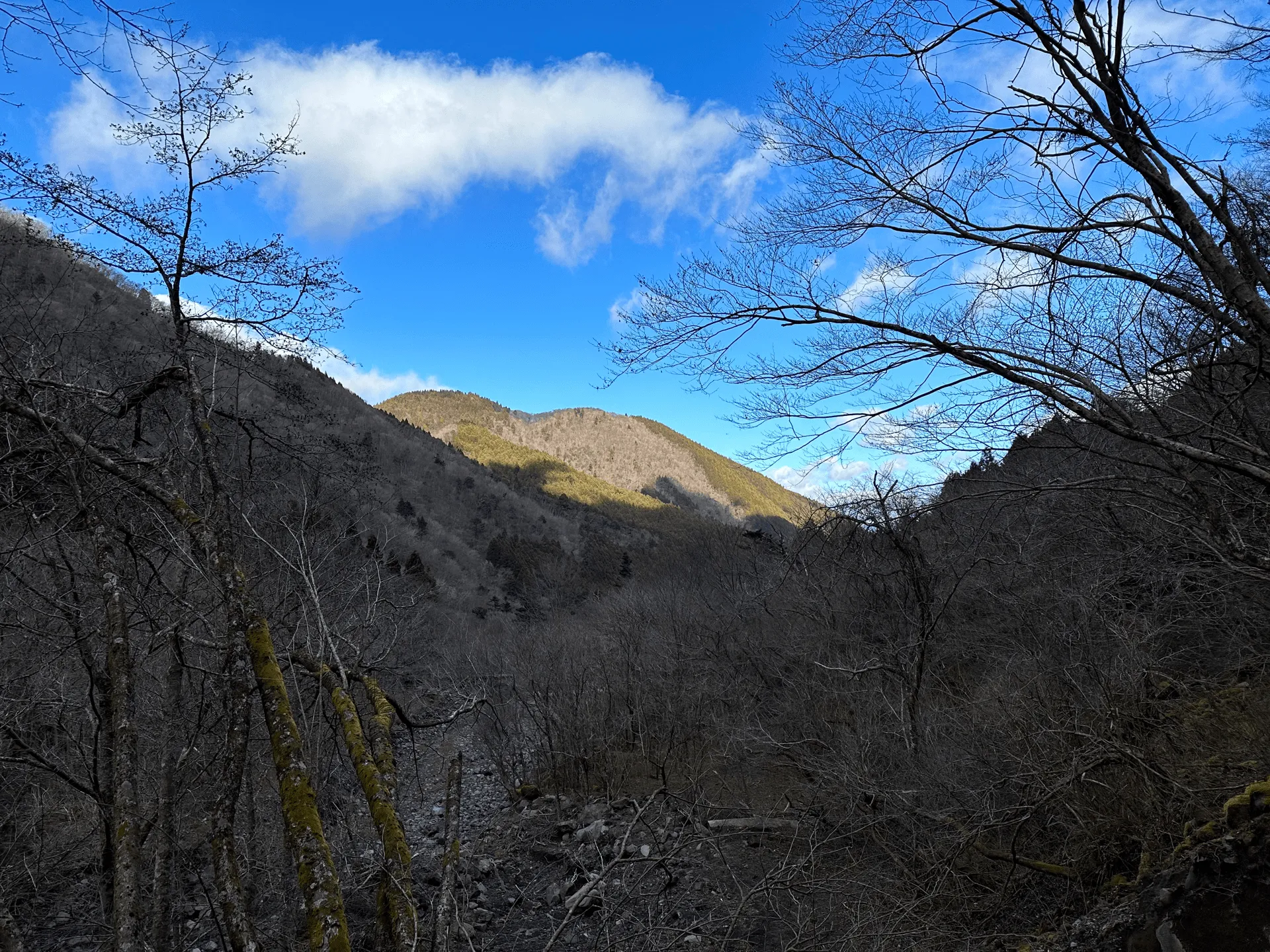
From here the trail was straightforward up towards the second peak, Echizen-dake. Since this was in January and it was probably near or below 0 degrees, there was a tiny bit of snow on the ground near the summit, but nothing major.
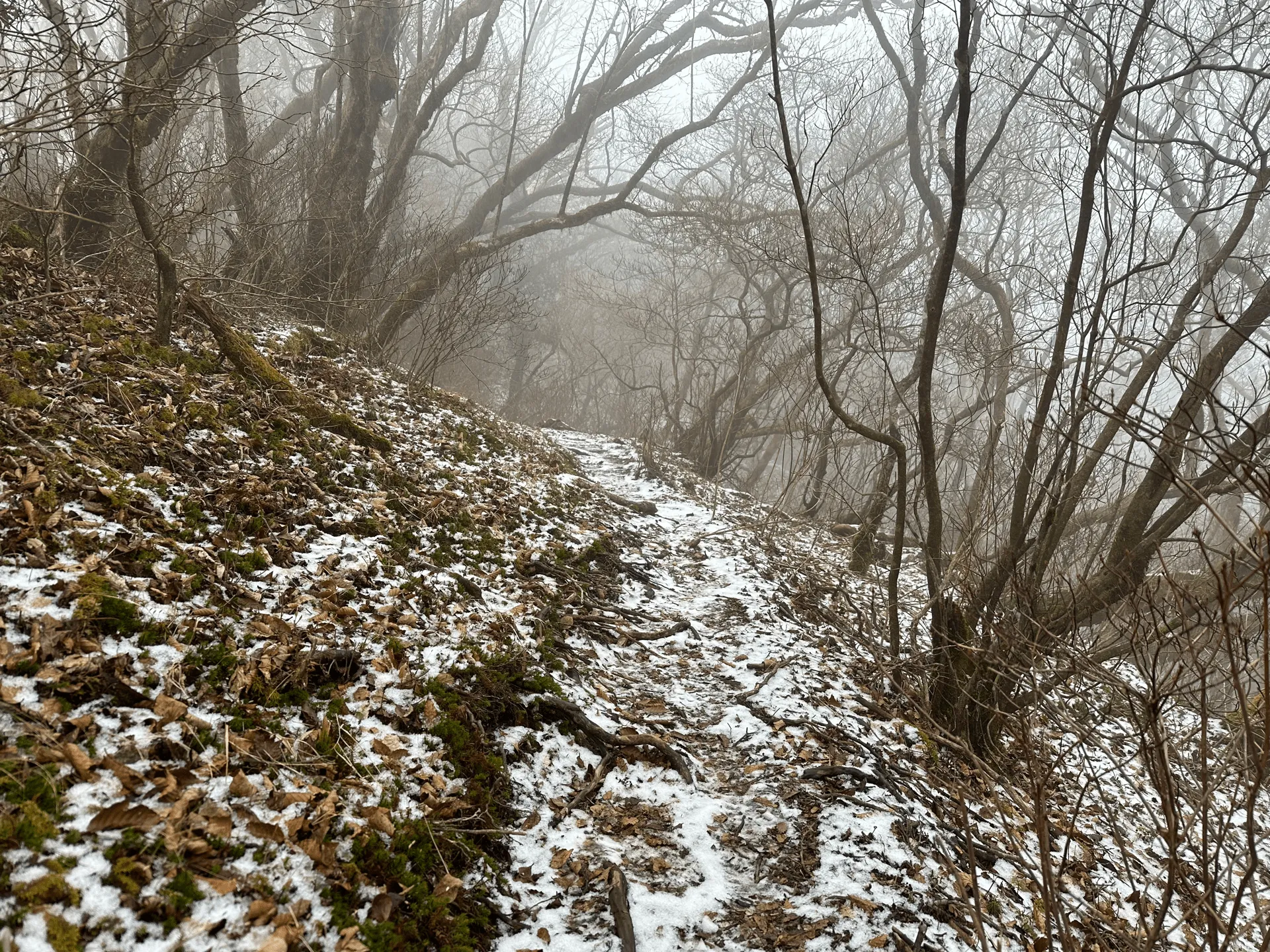
As I approached Echizen-dake, the weather grew quite windy and foggy and honestly speaking, it was pretty miserable. I had some cup noodles and hot chocolate at the summit, but the water took forever to boil and it didn’t really warm me up that much.
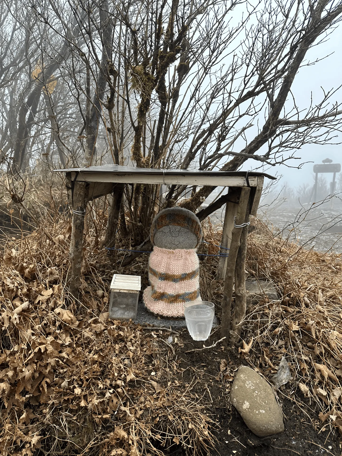
From here you are able to see Mt Fuji as well, but the weather wasn’t very helpful today. But even with the bad weather, it seems to be a relatively popular mountain. There were a couple of hikers that I passed on the way up, as well as a couple more I saw near the summit.
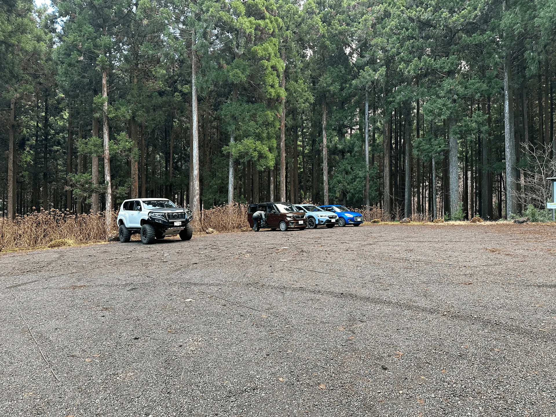
The car park didn’t have too many cars, but there’s another one on the opposite side of the mountain at 十里木 (じゅうりぎ) so I think you end up with hikers approaching from both directions.
It continued to be pretty miserable as I started my descent, but the more I descended the more it started to clear up.

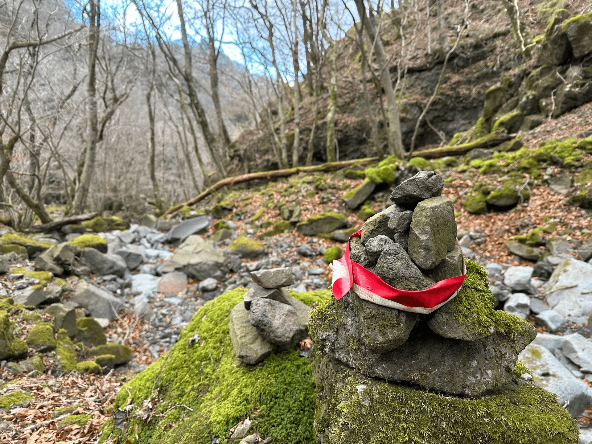
The signposts mentioned that there was a 割石峠 (wari-ishi-toge, “broken rocks pass”) up ahead, which I thought was a funny name, but it quickly became clear why.

A good chuck of the descent was navigating this canyon of broken rocks. There wasn’t really a clear path, and so it involved a lot of stepping from one rock to another. It slowed my descent down a bit, but it was quite fun!
Mountain trails in Japan usually have pink ribbons to indicate which direction you’re supposed to go in when the trail is not clear. These came in handy today as I played a game of “spot the pink ribbon” all the way down.

The path forward wasn’t so unclear that I was in any danger of getting lost, but a couple of times I realised I had been clambering down the rocks for no reason when there was more easily-walkable trail right nearby.
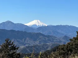
As I kept descending, I could see blue skies ahead, while if I looked back at the mountain peak it was still covered in fog (and probably still windy and miserable too). It’s funny how much the weather can change on the mountains.
The mountain ahead of me was blocking the view of Mt Fuji, and as I saw the blue skies I was telling myself “man, if Mt Fuji is visible right now I’m gonna be so annoyed!”
And once I made it back to the trailhead and started driving home - it was super visible. Which made me laugh a bit at my bad luck.
In hindsight, if I had done my course in reverse, and reached Kuro-dake last, I probably would have had a really good of Mt Fuji from the peak. But oh well! There’s always going to be more opportunities to see Mt Fuji, so I’m looking forward to next time.
| Date climbed | Length | Course time |
|---|---|---|
| 2024-01-05 | 10.3km | 6h30m (the expected time for an average hiker without breaks) |
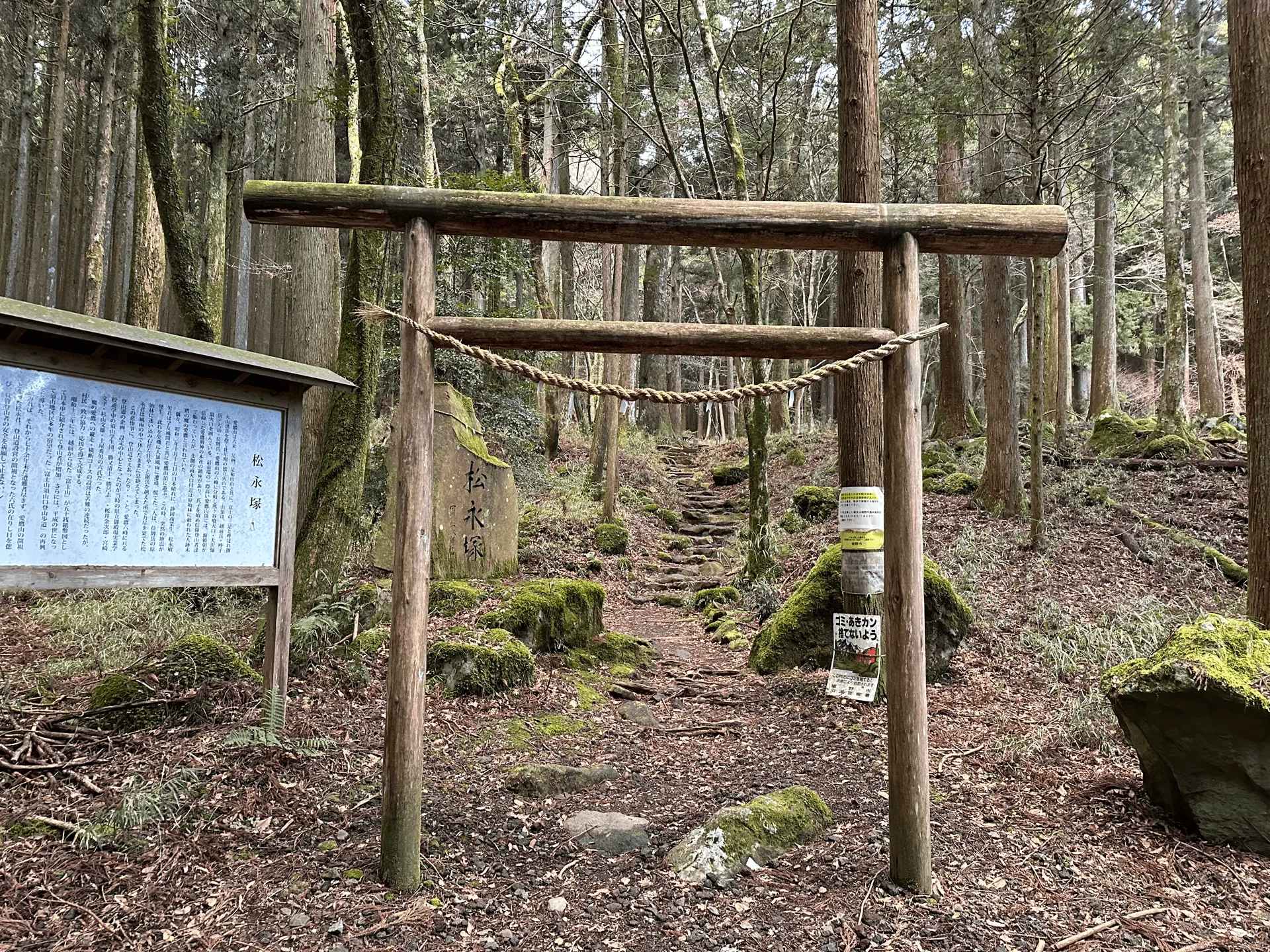
This is a loop course starting and ending at 須山愛鷹登山口 (suyama-ashitaka-tozanguchi).
The course can be done in either direction, but I chose to go via Kuro-dake first before Echizen-dake.
There is a bio-toilet available at the the trailhead.
There looks to be public transport access available via Gotemba station. From the bus stop, it’s a 1.2km walk (18min) to the trailhead where I began my hike, so this would bring your hike to about 12.7km in 7 hours.
| Time | Location | Transport | Cost | |
|---|---|---|---|---|
| 06:13 | 東京 (とうきょう) | Express train | 3128 | |
| 08:13 | 御殿場 (ごてんば) | |||
| 08:30 | 御殿場 | Bus | 750 | |
| 8:59 | 愛鷹登山口 (あしたかとざんぐち) |
There’s the option to get a highway bus to Gotemba station instead of a train, although with traffic conditions it might make it a bit dicey whether you can make it onto the local bus.
The return bus options are either 13:59, 15:09 or 18:54 - so there’s a long wait if you miss the return bus!
| Time | Location | Transport | Cost | |
|---|---|---|---|---|
| 15:09 | 愛鷹登山口 | Bus | 750 | |
| 15:38 | 御殿場 | |||
| 16:22 | 御殿場 | Train | 1980 | |
| 18:38 | 東京 | |||
| Trip total: | 6608 |
I can see another hike report where instead of doing a loop course, they kept on walking to 十里木 (じゅうりぎ) bus stop. You need to reach that bus stop by 14:55 so you have less time, but it looks like the total course is only 9km so that might be the easier option.
| Car park | Time (from Tokyo) | Round trip cost |
|---|---|---|
| 山神社 駐車場 (やまじんじゃ ちゅうしゃじょう) | 2h | ~8900 yen |
The car park at 山神社 (Yama-jinja) is decently-sized and fits 30 cars. It’s located right next to the trailhead. It wasn’t very crowded on the day I went (although it was a weekday).
There is a bio-toilet available at the trailhead, but I opted to stop by at the nearby FamilyMart instead.
Leave a comment