Mt Hamaishidake (浜石岳)
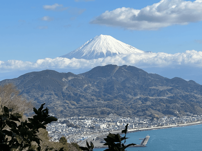
In my quest to climb all 36 of the Fuji View mountains, I ventured down to Shizuoka to climb Mt Hamaishidake (浜石岳, Hamaishi-dake).
With it still being quite cold in Tokyo (we're in the first week of March and we've just had a tiny bit of snowfall) I wanted to climb one of the lower peaks in the series, and so opted for this mountain, which only has an elevation of 707m.
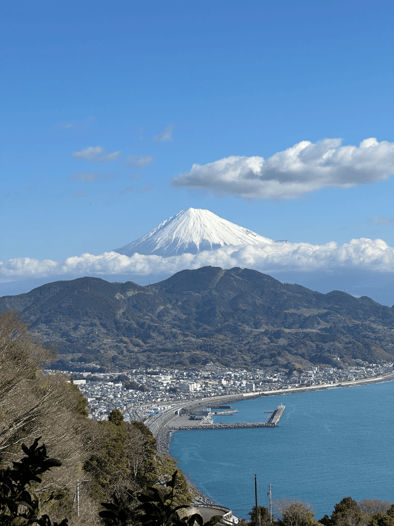
I began my hike at Satta Pass (さった峠, Satta-toge), which came with an amazing view of Mt Fuji.
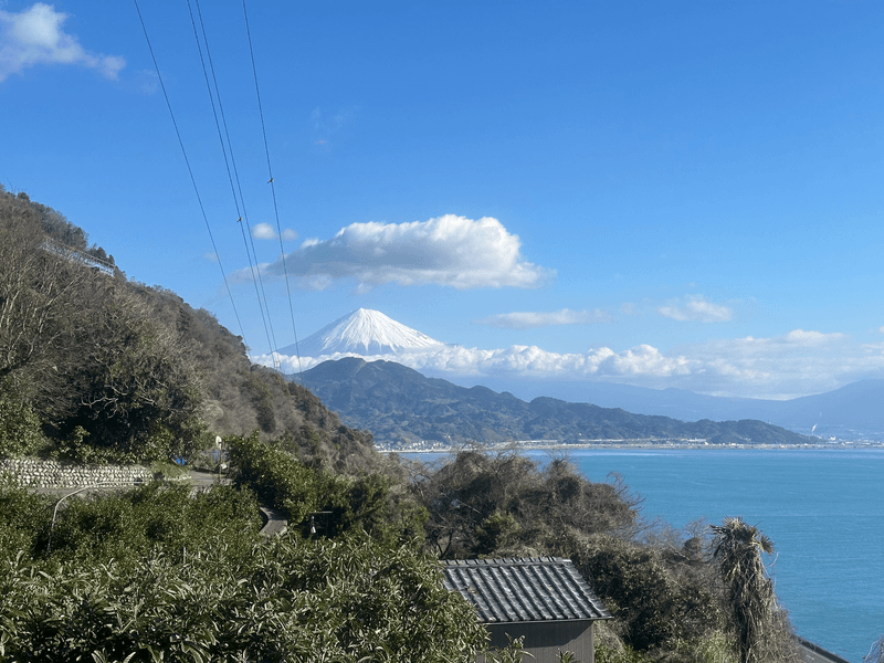
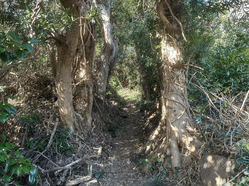
The trail up was pretty quiet, although I did pass a large group of 20 or so students coming down with fairly large packs, so I assume they did an overnight trail from somewhere else.
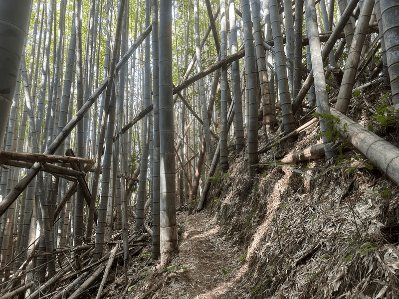
Near the start of the trail you pass through a bamboo forest, which was quite tranquil on the way up. However on the way back down the winds were stronger, and so you could hear the tops of the bamboo clacking together. With the amount that had fallen over, I was honestly a bit nervous that one was going to fall down on me.
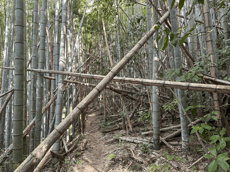
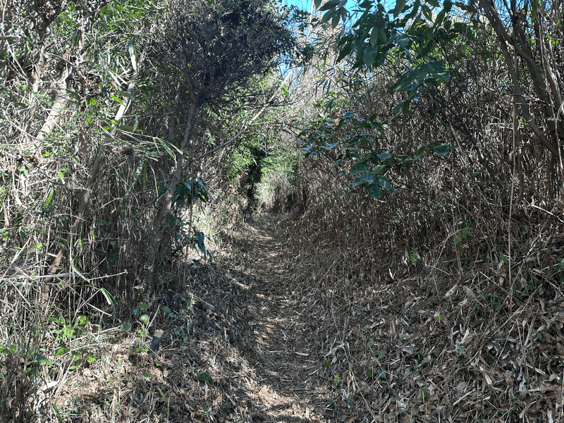
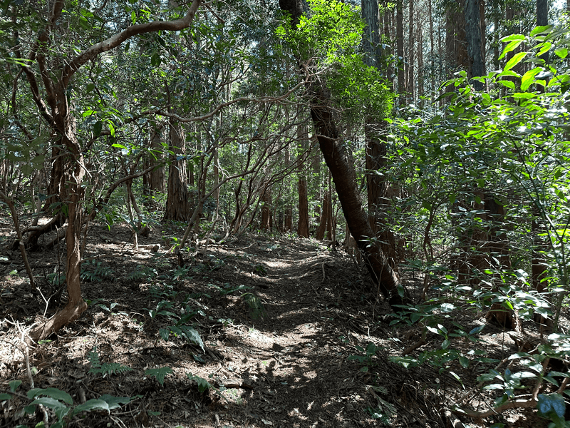
Once you get beyond the bamboo, the trail was a fairly walkable and not too overgrown.
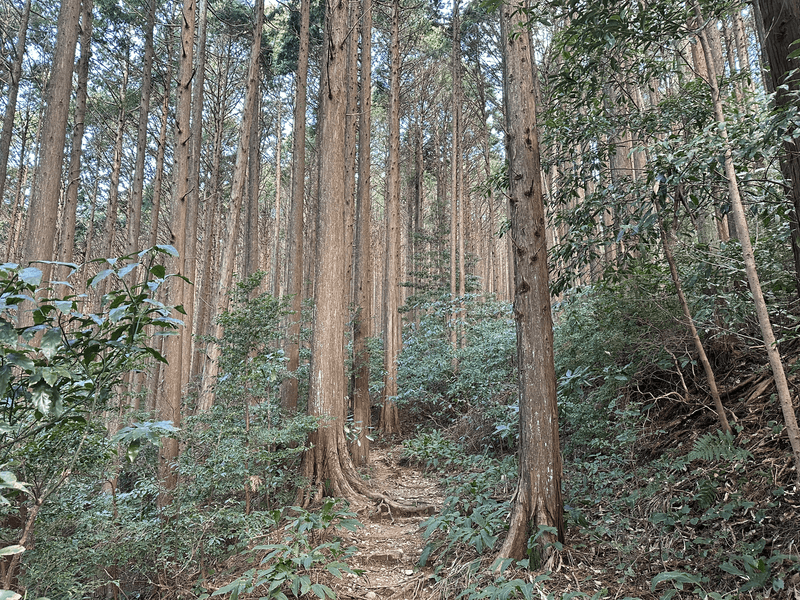
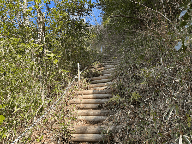
The course I climbed was a total of 13km, but Hamaishi-dake is also accessible via a much shorter 2 - 3km route. So once you get closer to the summit, you intersect with this course and the number of people around suddenly increases.
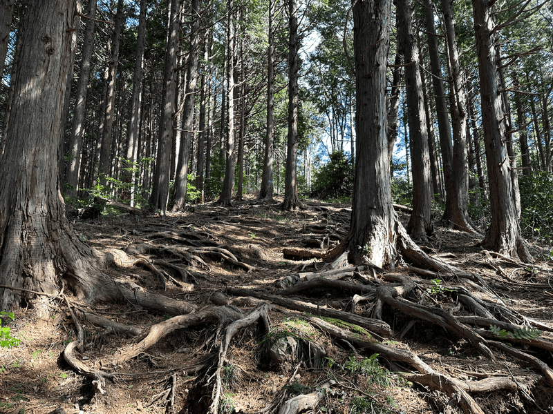
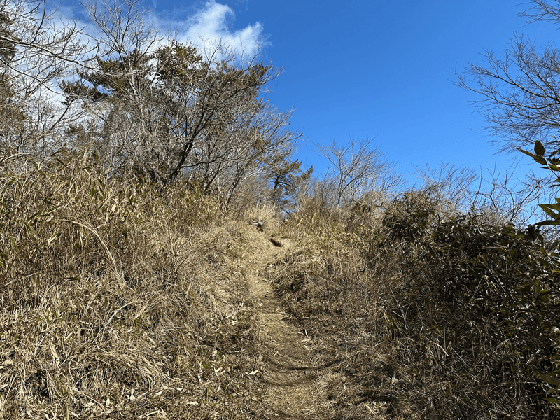
As you approach the summit, you can see a hill and the tip of Mt Fuji poking up just beyond it.
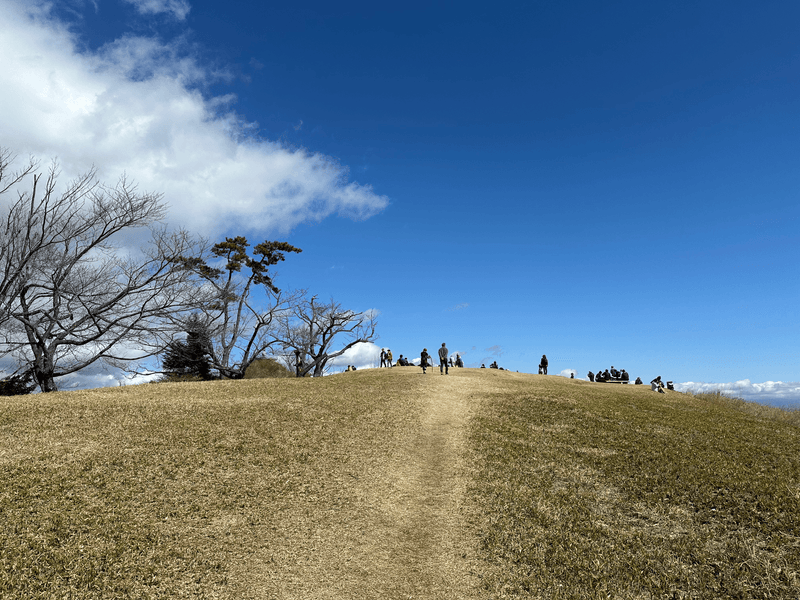
There were at least 30 people here near the summit, and they were all waiting around hoping for the clouds to clear up a tiny bit more to get the best possible photo of Mt Fuji.
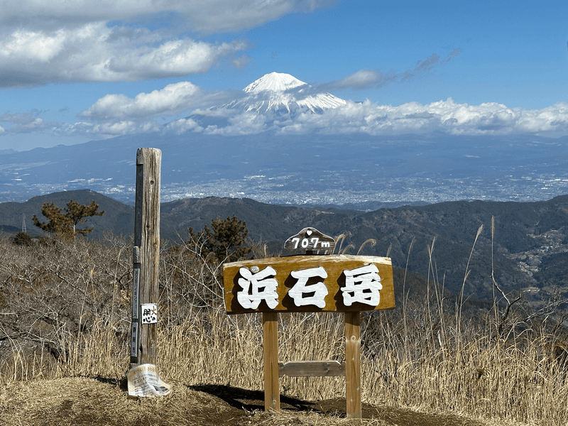
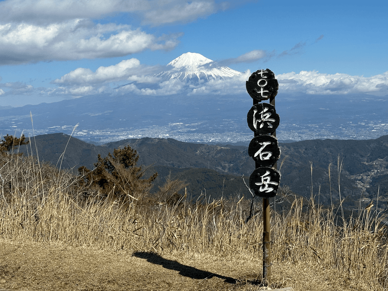
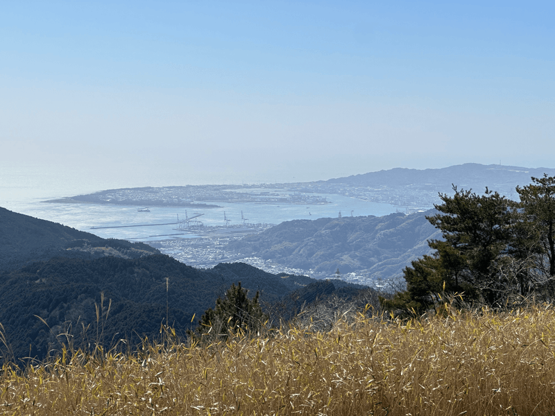
I wasn't patient enough to wait for a cloudless Fuji, so after a quick break it was back down the mountain the same way I came.
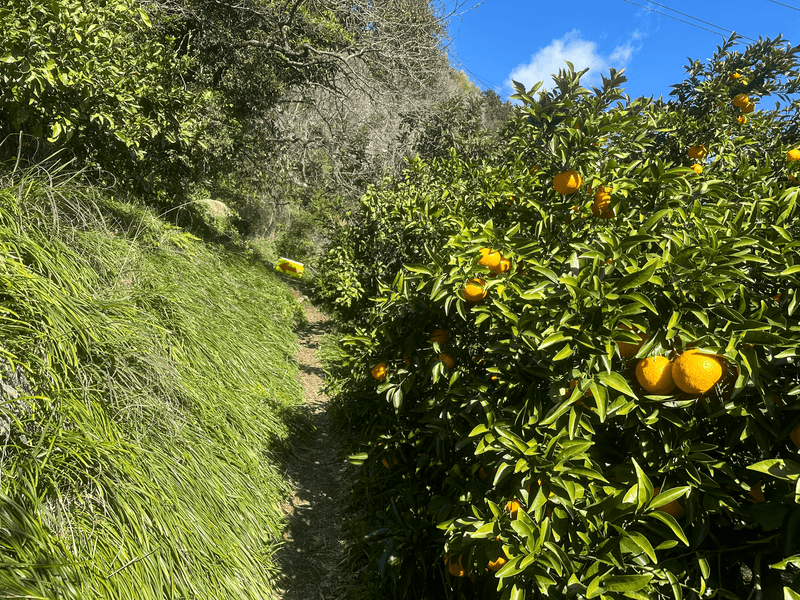
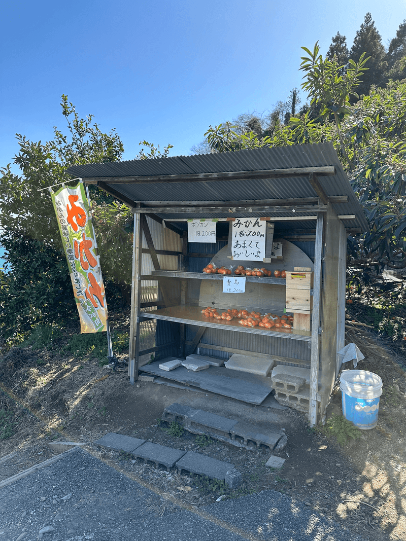
Once I was back at the carpark, I noticed an old lady had set up a stand to sell some mandarins, so I bought a bag to take home. The traffic on the way back was really bad and I got really hungry, so I ended up eating them all in the car.
Before heading home, I took a quick detour to the nearby Mt Omaru (大丸山). It's also a part of the Fuji 36, so to check it off I did a quick 3km loop of the course there. I didn't think it worth adding a separate post for it since the course was nothing notable, but just a side note for anyone else interested in getting the YAMAP badge!
Hiking course details
| Date climbed | Length | Course time |
|---|---|---|
| 2024-03-03 | 13.5km | 6h35m (the expected time for an average hiker without breaks) |
This is an out-and-back course that that starts and ends at the Satta Pass carpark.
There is a toilet available at the carpark.
Public transport access
The signposts on the way up made mention of Okitsu Station (興津駅), so it is hypothetically feasible to do this course from the station. However it is a 50 minute, 3km journey one way, so it would make the course total 19km. I wouldn't recommend doing this, unless you really wanted to climb this mountain!
Car access details
| Car park | Time (from Tokyo) | Round trip cost |
|---|---|---|
| さった峠展望台駐車場 (さったとうげてんぼうだい ちゅうしゃじょう) | 3h10m | ~11600 yen |
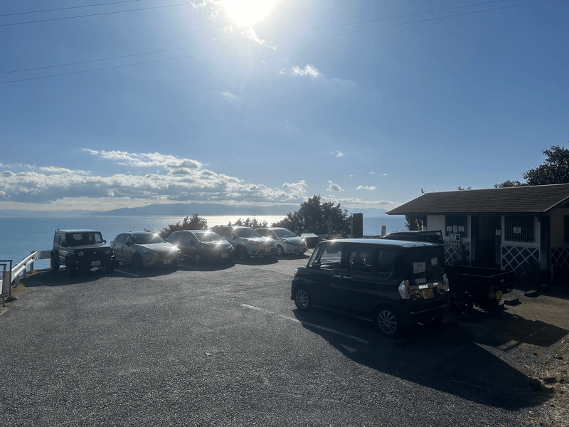
The carpark is quite tiny and can only fit 7 cars, so I was a bit shocked when I arrived and it was full. However two of the cars pulled out within 10 minutes of my arrival so I was luckily able to grab a spot.
From here there is a staircase down towards the ocean, and there is also a carpark down there, so quite possibly you could park there and take the stairs up to the beginning of the trail (I did not check whether the stairs are connected though).


