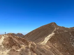
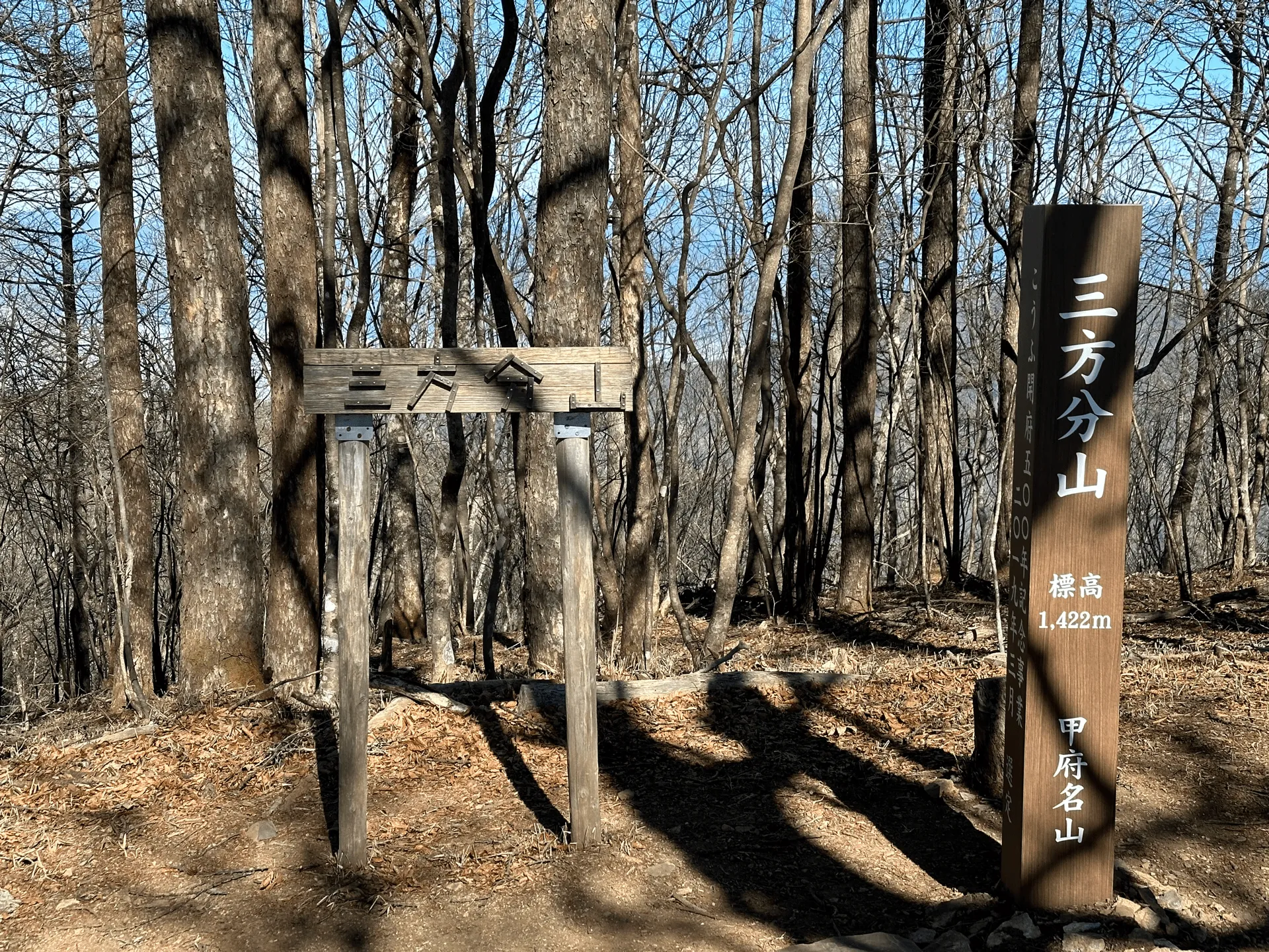
Mt Sanpobun (三方分山, Sanpobun-zan) is a Yamanashi Hundred Famous Mountain next to Lake Shojiko, one of the Fuji Five Lakes. I did this hike as a loop course together with the neighbouring Panorama-dai (パノラマ台).
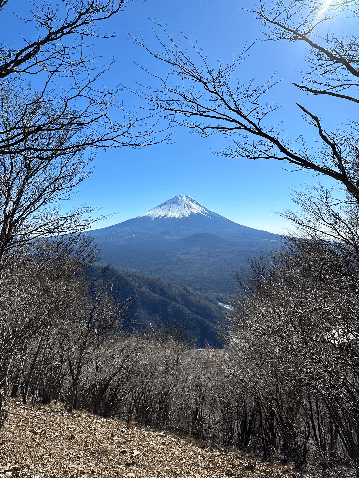
Lake Shojiko is the smallest of the five lakes near Mt Fuji, and although I’ve been to Lake Yamanakako and Kawaguchiko many times, this was my first time out to Shojiko. It’s also very underdeveloped compared to the other lakes - which I found to be a good thing! You still get a great view of Mt Fuji, but it feels a little bit quieter too.
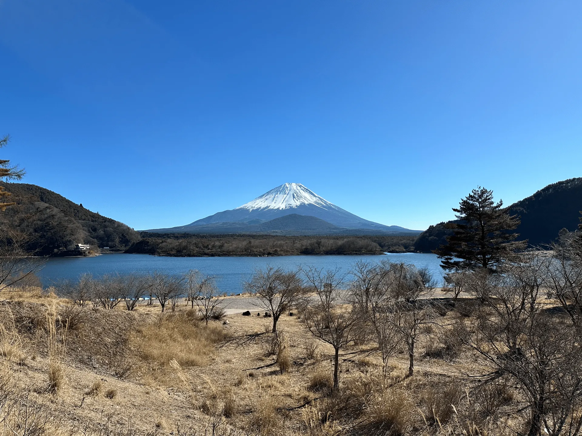
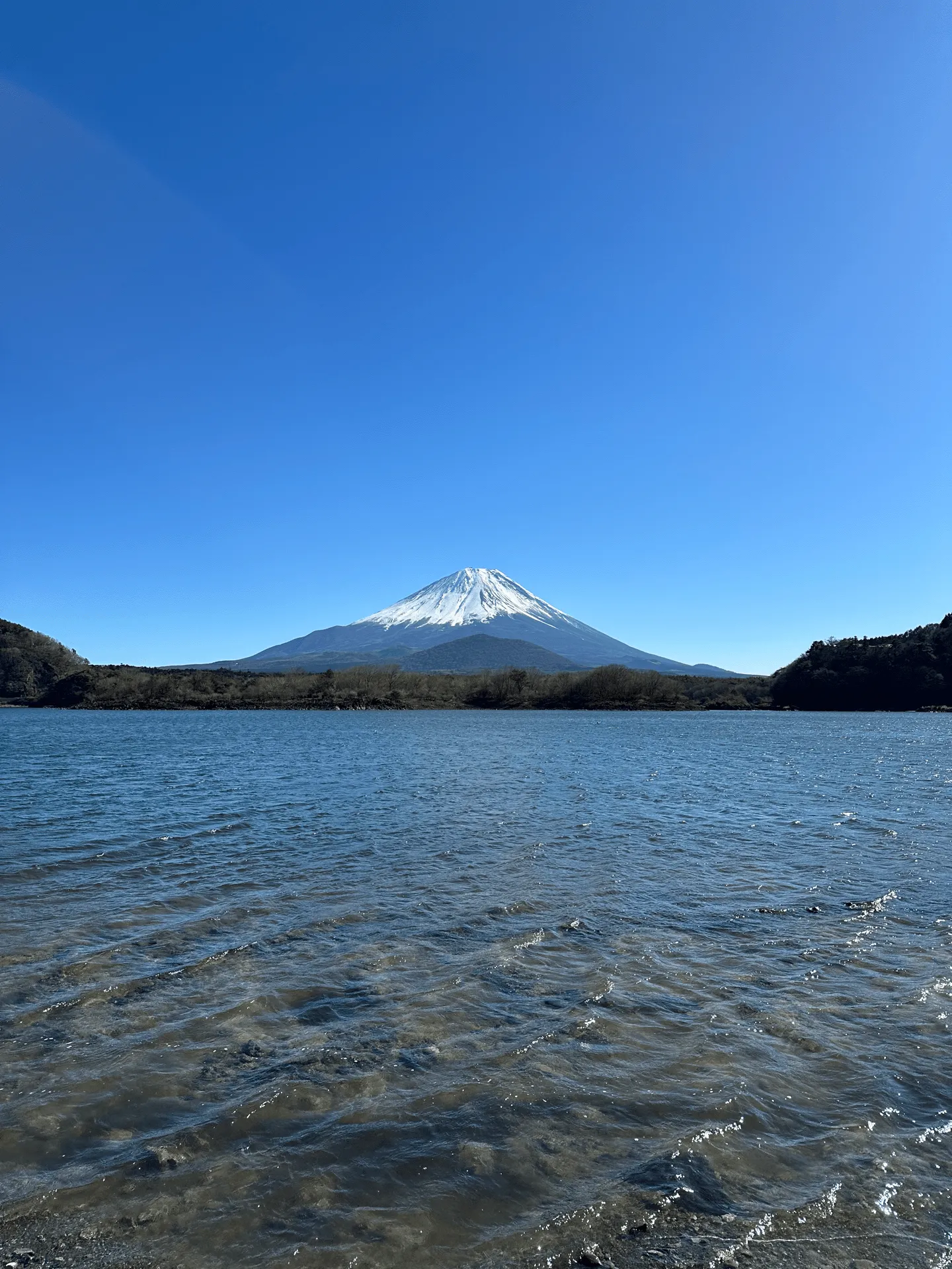
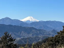
If you’re lucky and the weather is good, you’ll get a stunning view of Lake Shojiko and Mt Fuji right as you begin your hike. The beach by the lake looks to be a camping spot as well, so I saw a couple of cars set up.
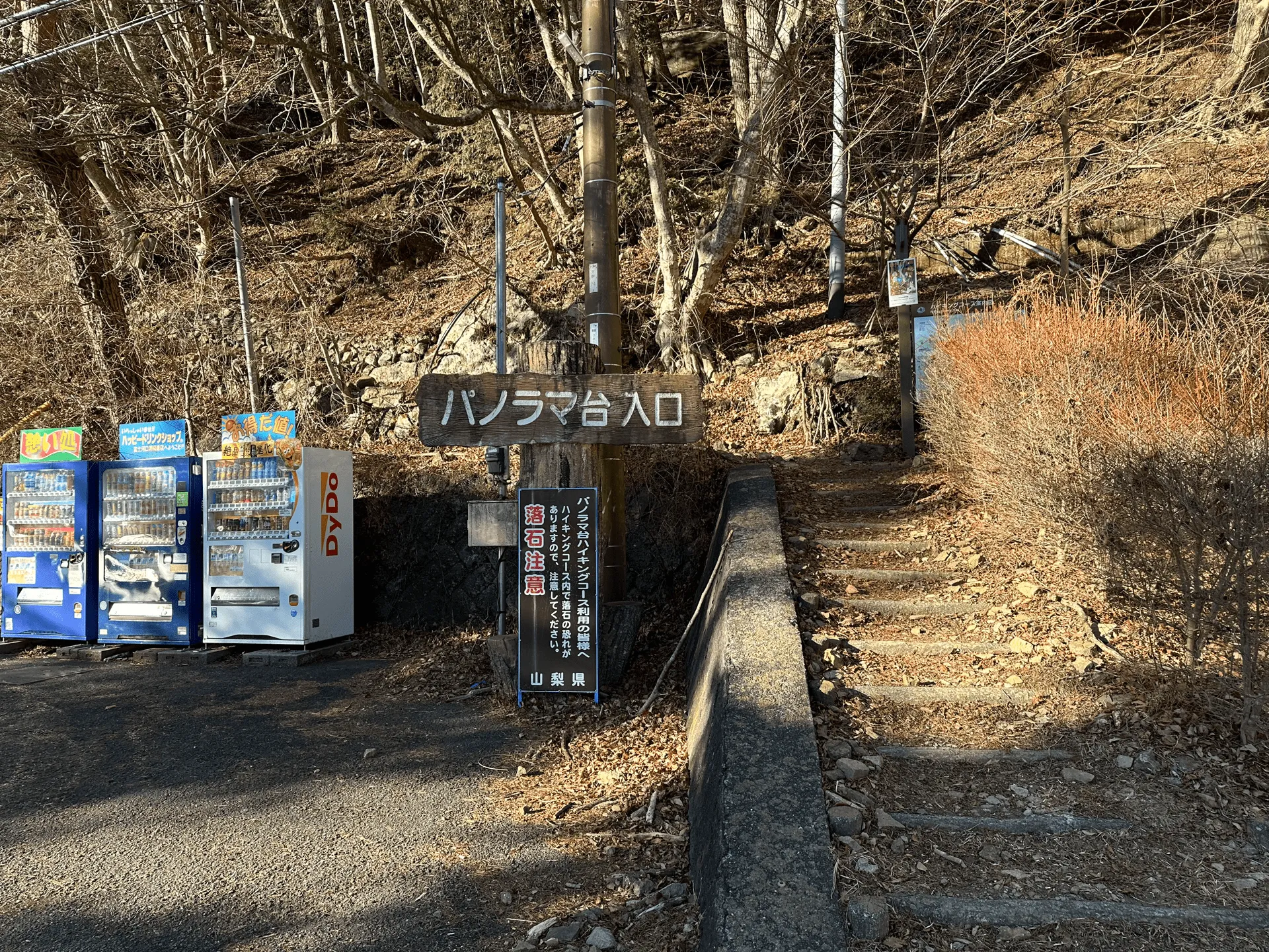
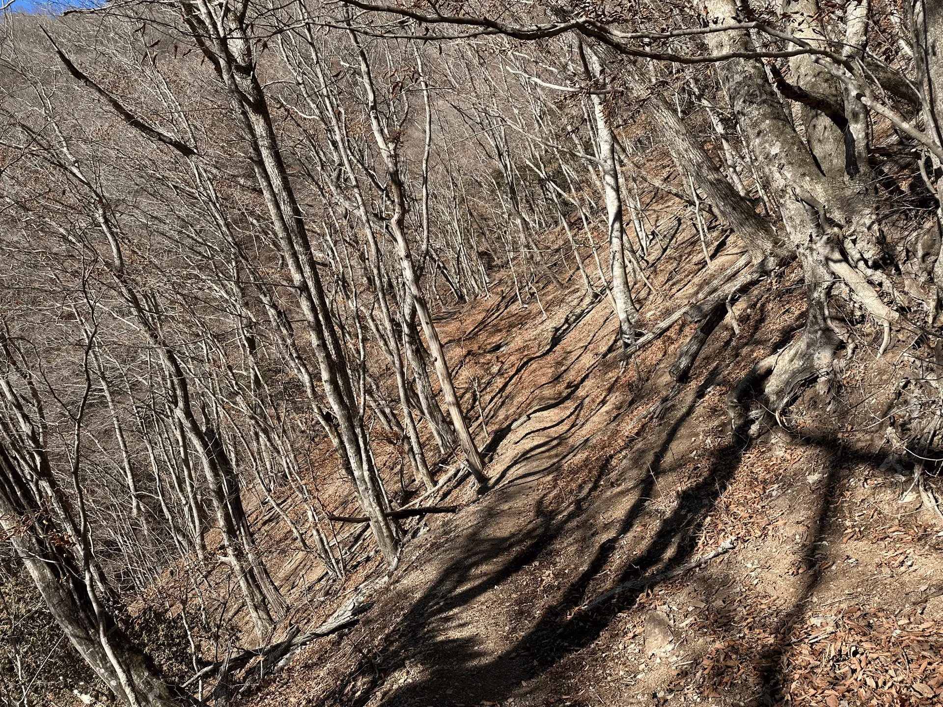
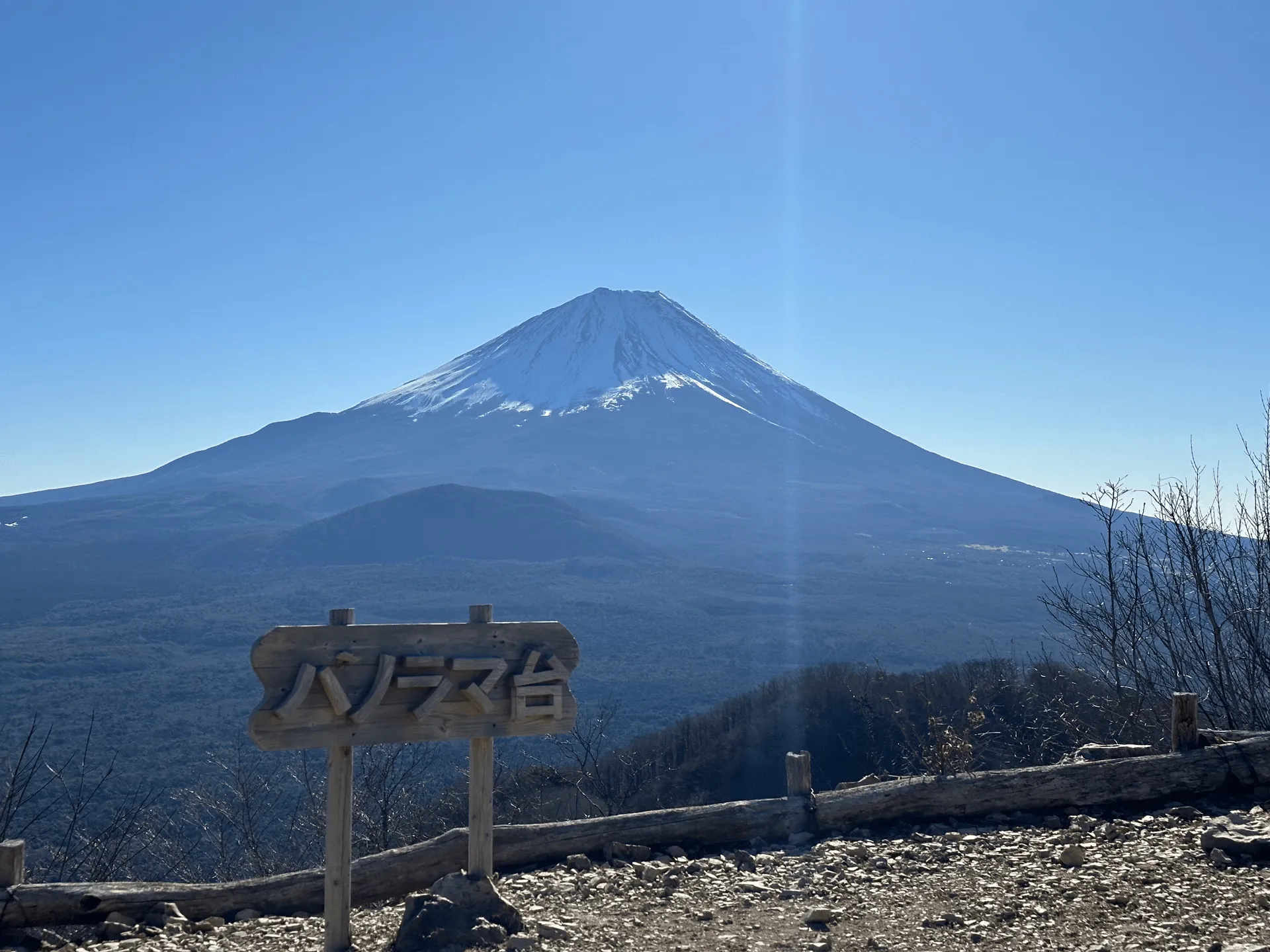
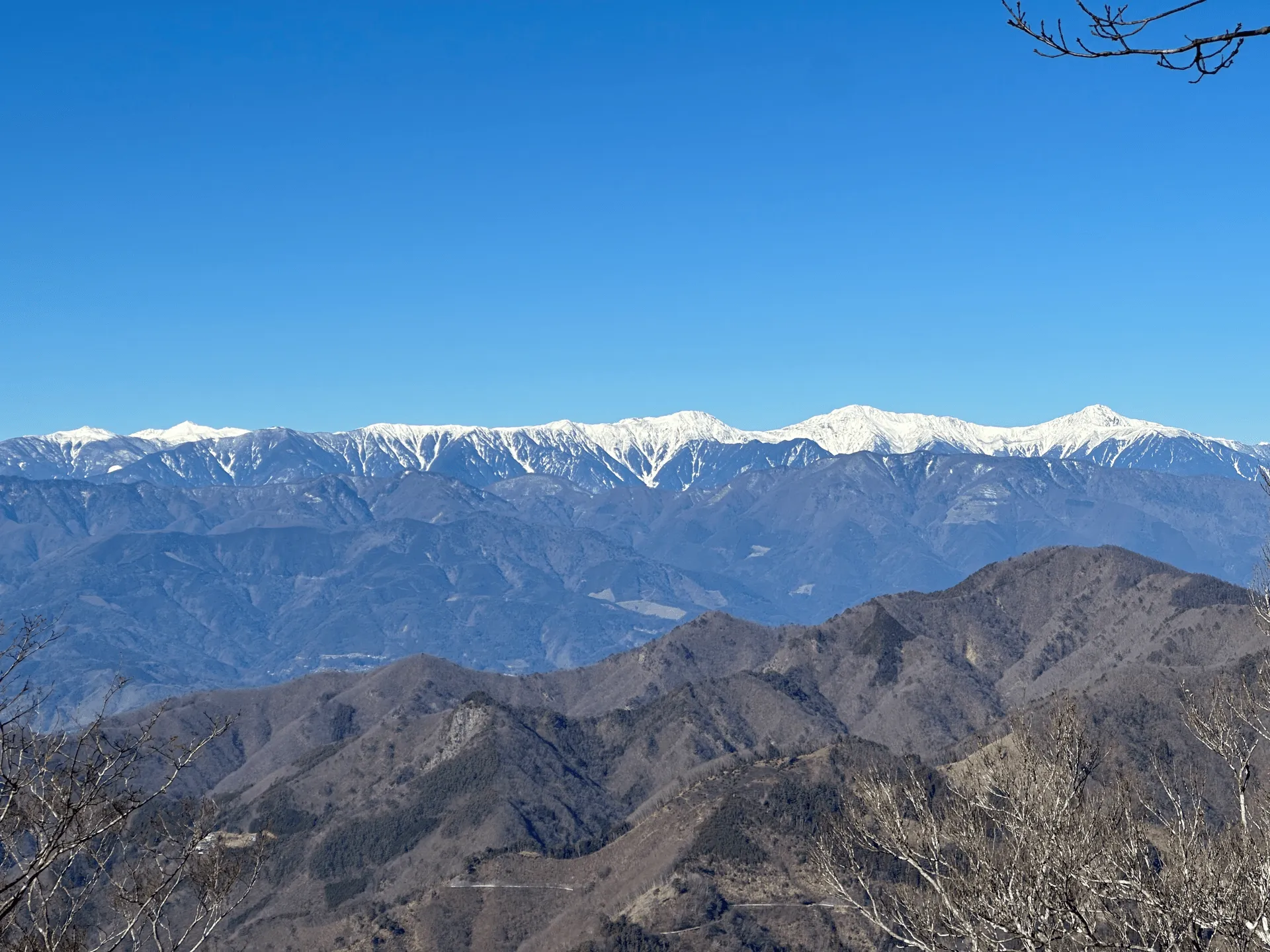
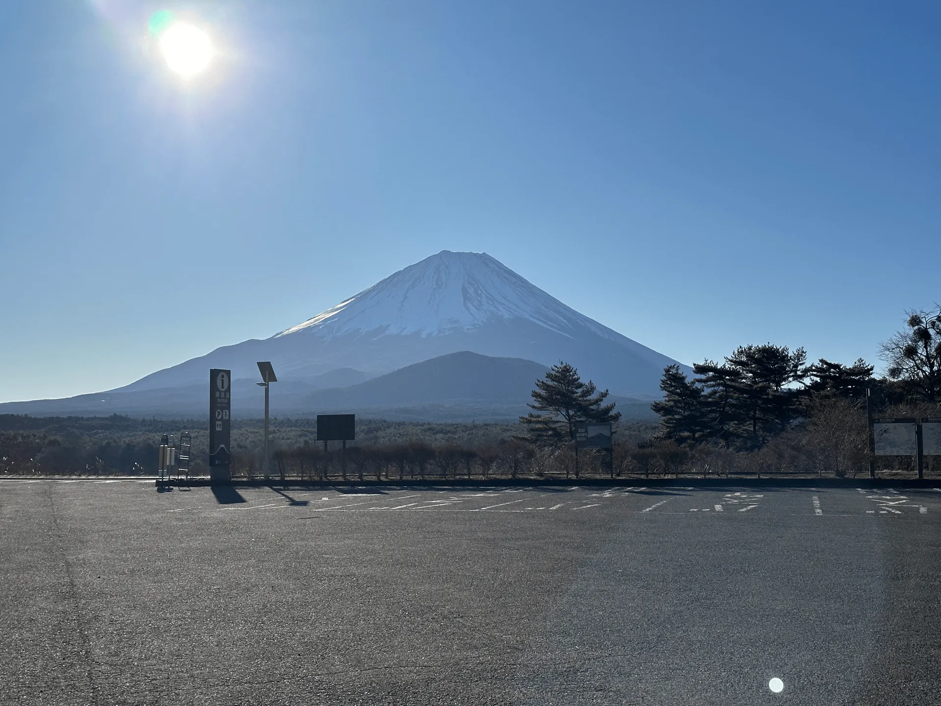
I was alone for the start of the trail, but once I started heading towards Mt Sanpobun, I passed about 3 groups of hikers. Not bad for a weekday.
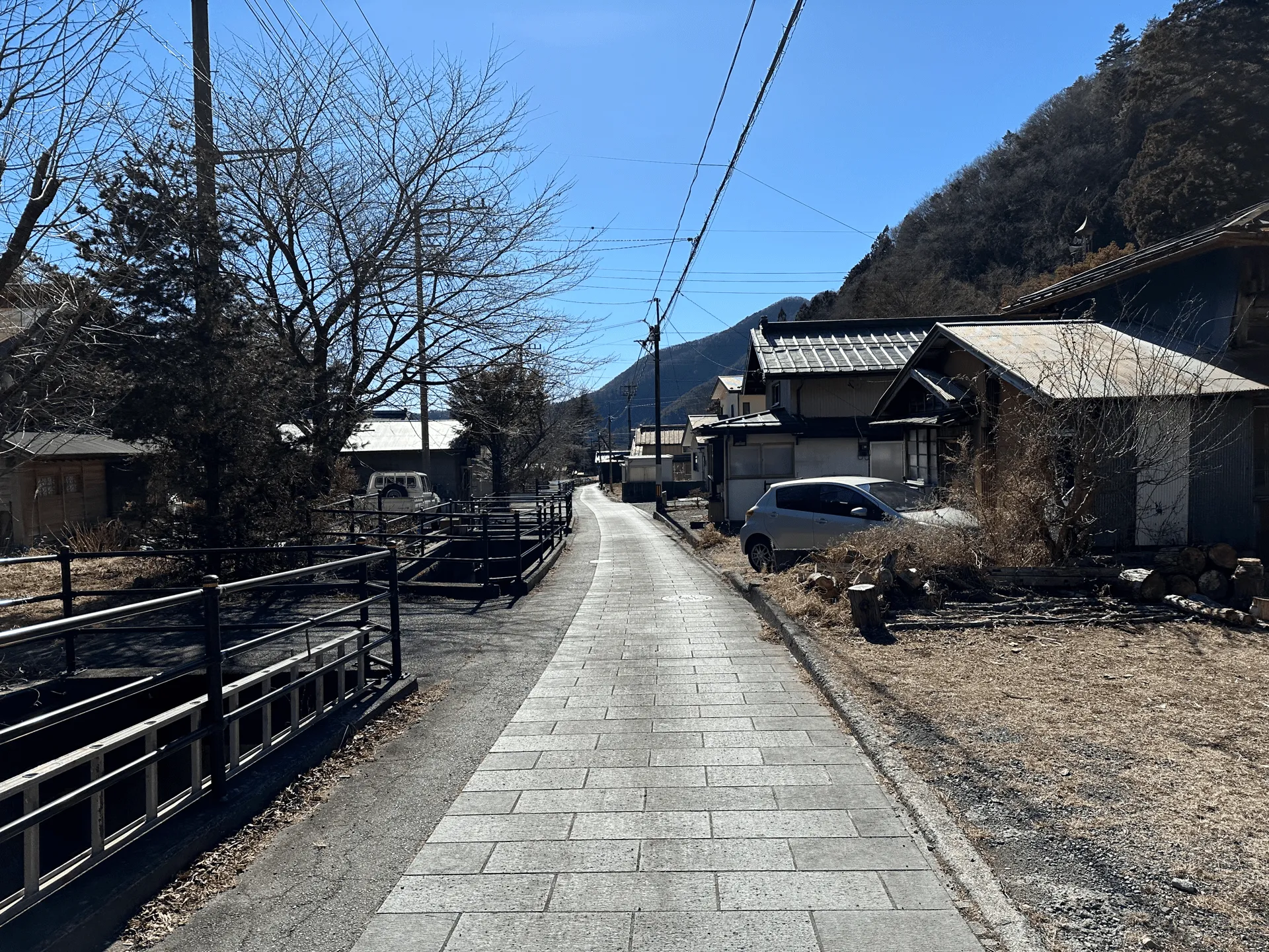
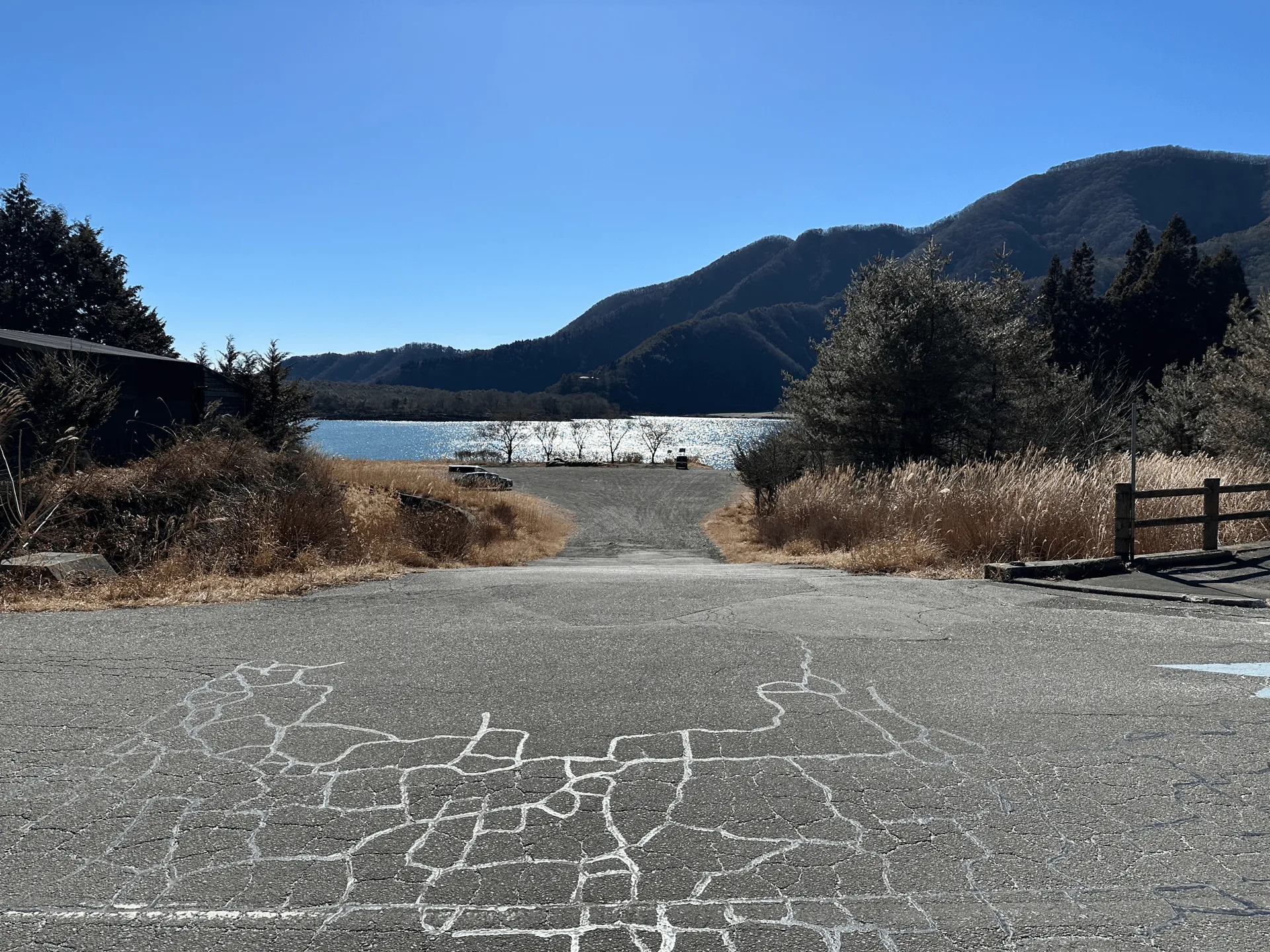
In the morning the carpark was deserted, but by the time I returned to the trail, there was a couple of small tourist groups taking photos with Mt Fuji.

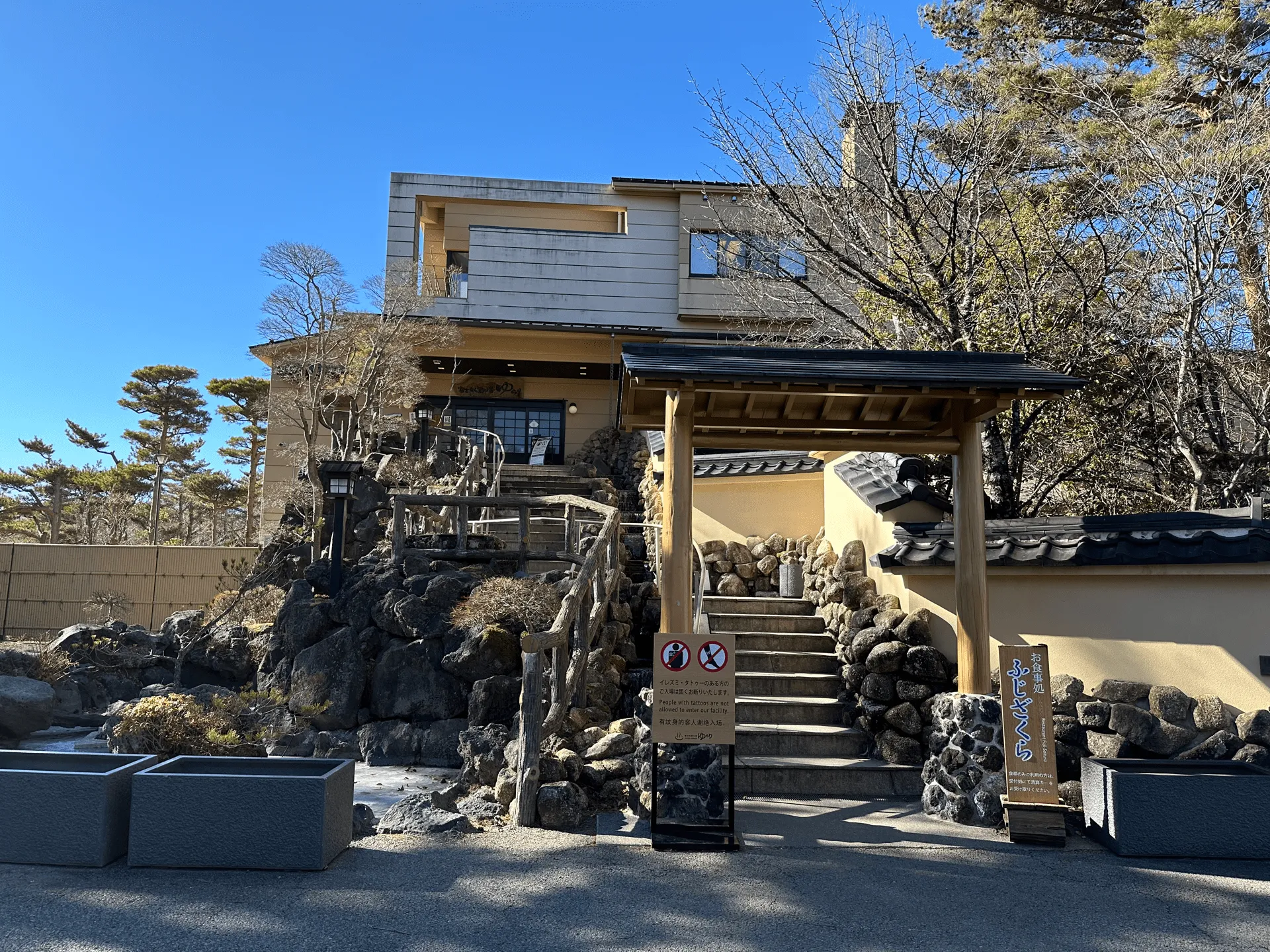
Post-hike I made my way to the nearest onsen which was about a 15min drive away at 富士眺望の湯ゆらり (Fuji Yurari Hot Spring). It’s a little bit on the pricey side at 1400yen (towels included) but it comes with a couple of interesting onsens like a “cave onsen” which was basically a dark, enclosed room with an onsen. I didn’t actually go in but I opened the door just to check it out and it felt like a sauna with how warm it was!
Hiking course details
| Date climbed | Length | Course time |
|---|---|---|
| 2024-01-26 | 8.5km | 5h (the expected time for an average hiker without breaks) |
This is a loop course starting at the Panorama-dai trailhead (パノラマ台入口, Panorama-dai Iriguchi), climbing to the first peak at Panorama-dai (パノラマ台) and then proceeding on to Mt Sanpo-bun (三方分山, sanpobun-zan) before descending back down.
You’re going to get the clearest view of Mt Fuji from Panorama-dai, so when starting your hike, if Mt Fuji is hidden behind clouds, it might be wiser to do Panorama-dai last in the hopes of getting a clearer view later in the day. Vice versa if Mt Fuji looks like he might disappear, then it’s better to quickly start via Panorama-dai.
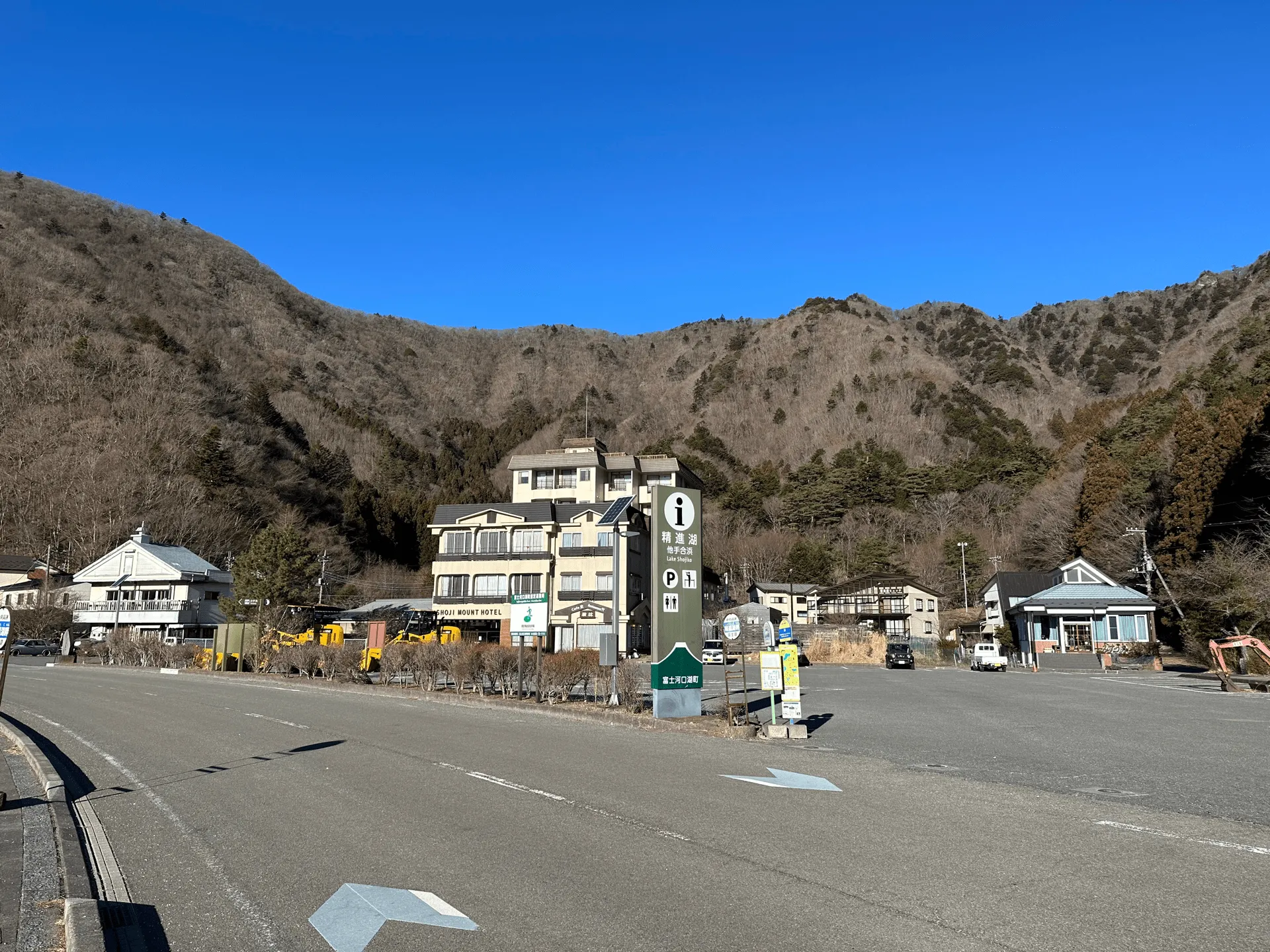
There are (clean!) toilets available near the trailhead.
Public transport access with example schedule
| Time | Location | Transport | Cost | |
|---|---|---|---|---|
| 06:49 | 東京(とうきょう) | Highway bus | 2060 | |
| 08:52 | 河口湖 (かわぐちこ) | |||
| 09:08 | 河口湖 | Bus | 1180 | |
| 09:43 | パノラマ台下 (ぱのらまだいした) |
If you are closer to Shinjuku station, there is also a highway bus that leaves from バスタ新宿.
| Time | Location | Transport | Cost | |
|---|---|---|---|---|
| 15:36 | パノラマ台下 | Bus | 1180 | |
| 16:12 | 河口湖 | |||
| 16:29 | 河口湖 | Express bus | 2060 | |
| 18:36 | 東京 | |||
| Trip total: | 6480 |
Car access details
| Car park | Time (from Tokyo) | Round trip cost |
|---|---|---|
| 精進湖他手合浜駐車場 (しょうじこたてごはま ちゅうしゃじょう) | 2h10m | ~7400 yen |
The 精進湖他手合浜 (Shojiko Tatego-hama) carpark is right next to a cafe and a couple of hotels.
If this one is full, there is a gravel carpark just down the road at 精進湖 駐車場 (Shojiko Chushajo). You will pass it as you do the loop course, so staying at either one is fine.
Leave a comment