hikes
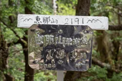
Mt Ena (恵那山)
14 Jun

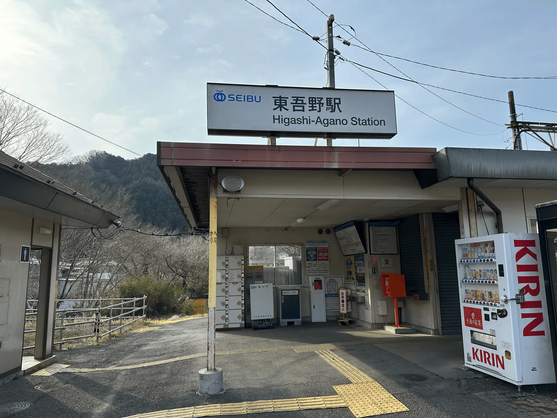
1.5 hours from Tokyo to Higashi-Agano station via local train.
Coming by car is not recommended, but you can park at Hanno station.
The Hanno Alps (飯能アルプス) are a set of low-lying mountains in Saitama prefecture. The entire stretch can be hiked over 30km, but the trail is commonly done as two separate day hikes. After previously hiking the northern portion of the trail, a few weeks later I was back to hike this southern stretch, a 12km hike passing Mt Tenkaku (天覚山), Mt Tonosu (多峯主山) and Mt Tenran (天覧山).
Although my last hike was a solo one, this time I recruited a few friends and we set out on a overcast Saturday morning from Higashi-Agano station. We would be ending our hike at Hanno station, so this is a very convenient hike for public transport users.
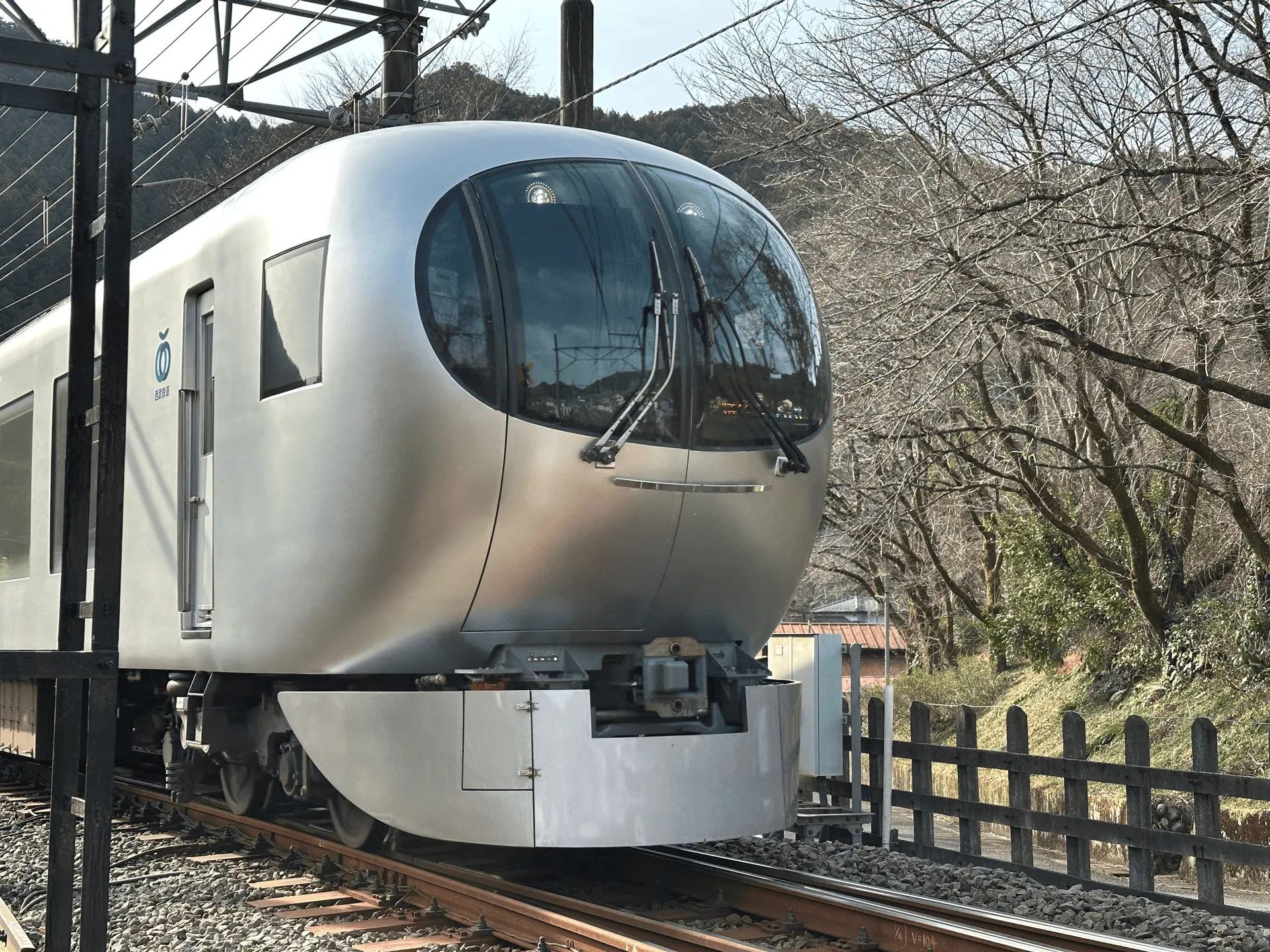
Right as we began our hike, we saw a Laview express train go by. I love how futuristic this train looks.
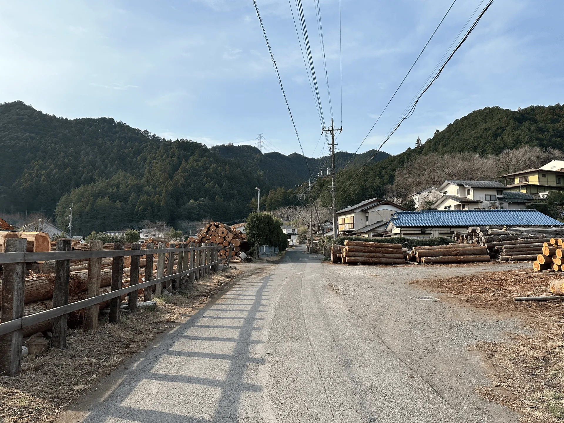
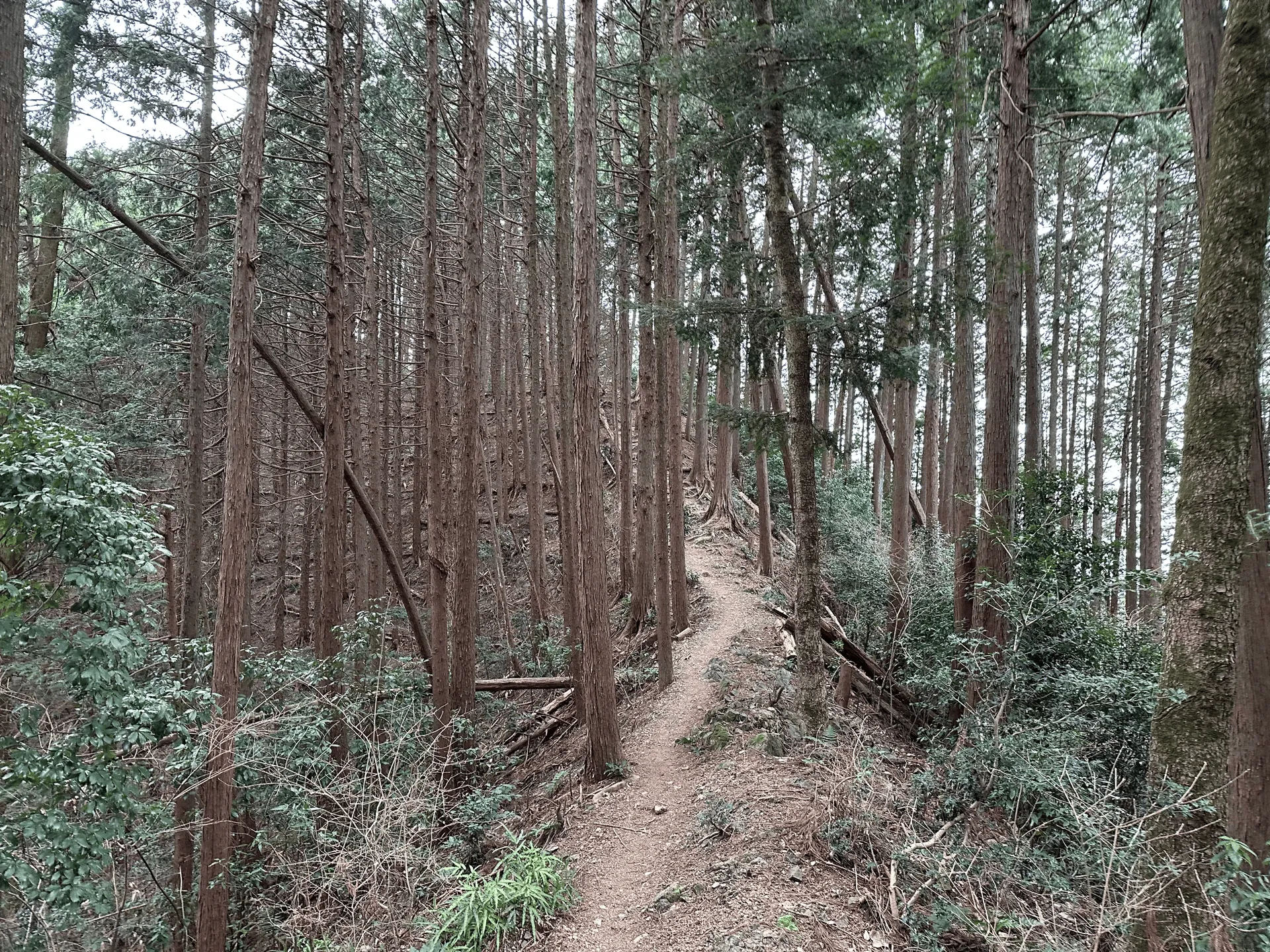
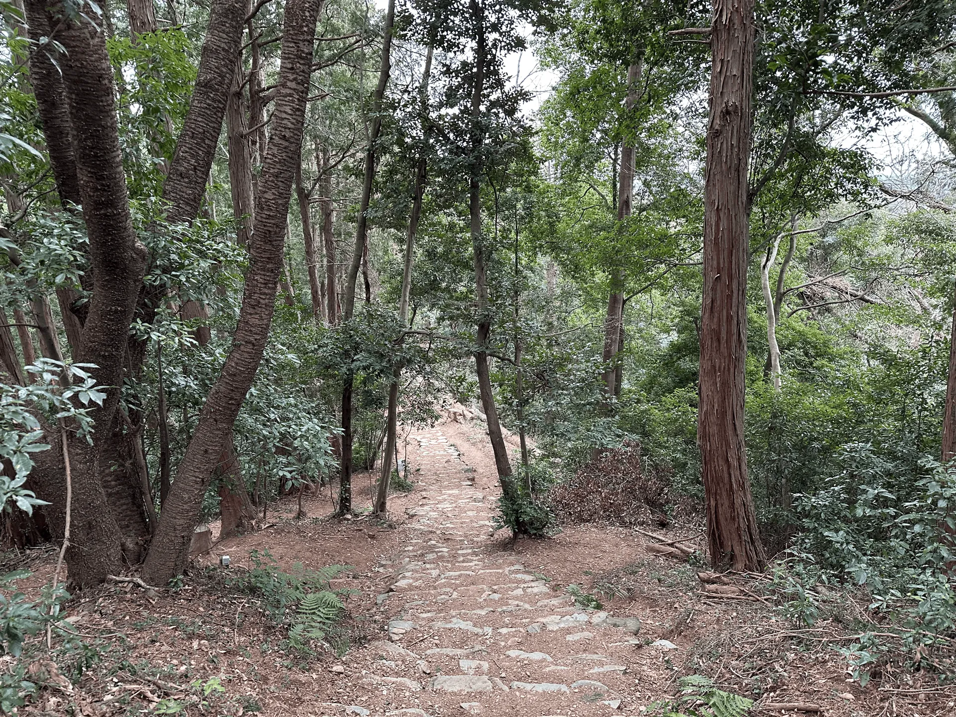
The hike starts off along a rural road, but within about 10 minutes you’ll be on the trail proper.
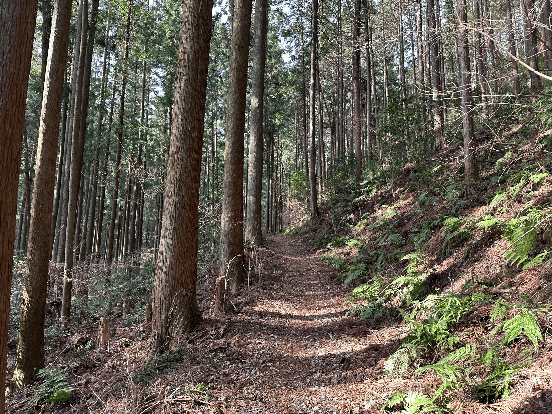
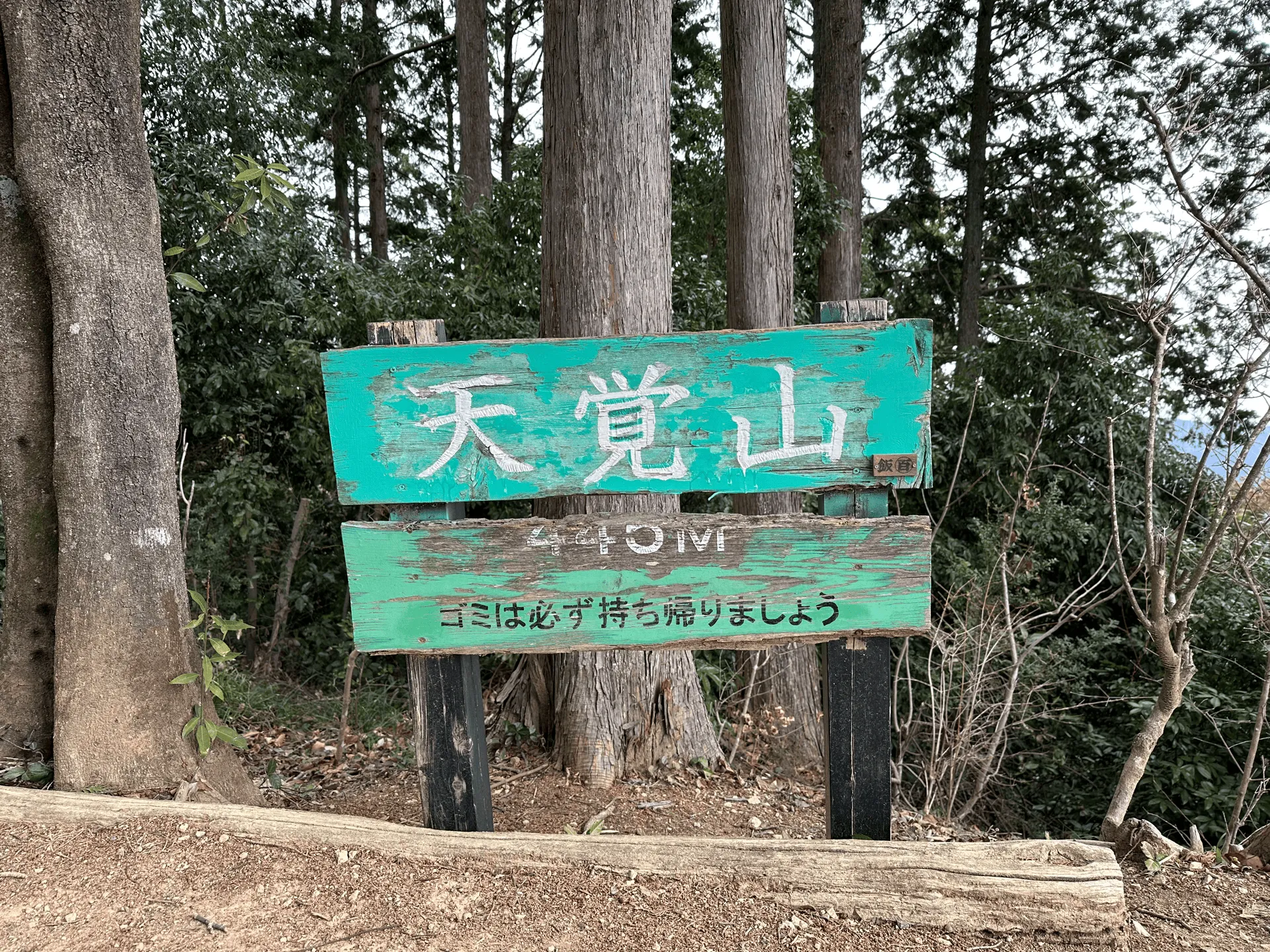
The first portion of the course is one big climb, and is where you do the bulk of the elevation gain for the hike. We reached the first peak of Mt Tenkaku (天覚山, tenkaku-san) in under an hour. At an elevation of 446m, this is also the highest point on the course.
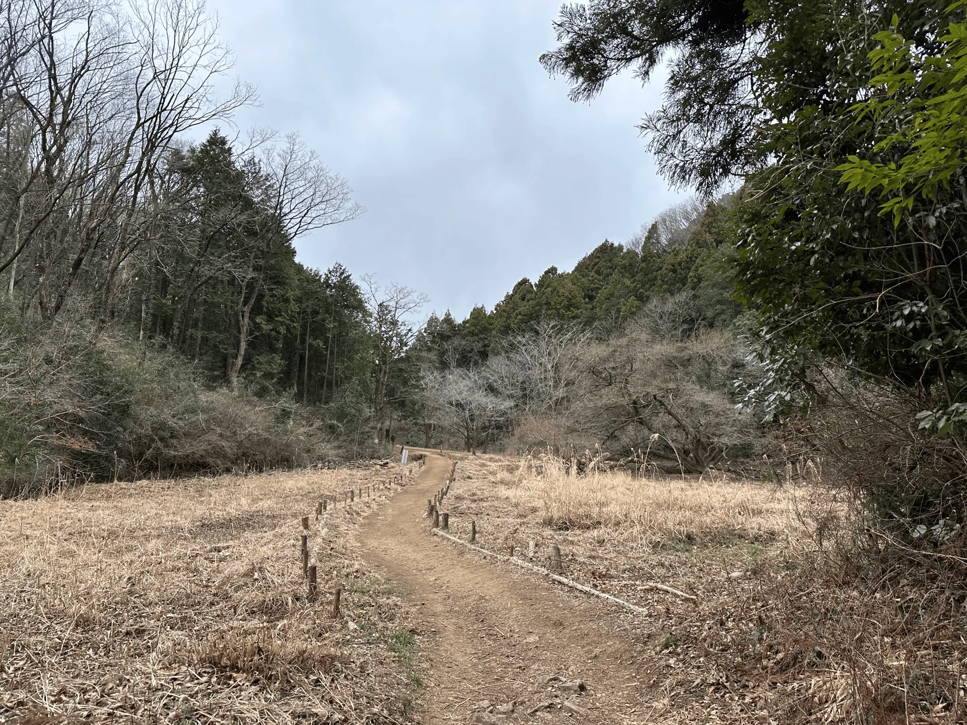
From the peak you’ll have a fairly steep descent, but it quickly eases out into a pretty walkable trail. We passed by quite a number of trail runners on this hike, a lot more than I would usually see, which makes sense considering how wide and smooth most of the trail was.
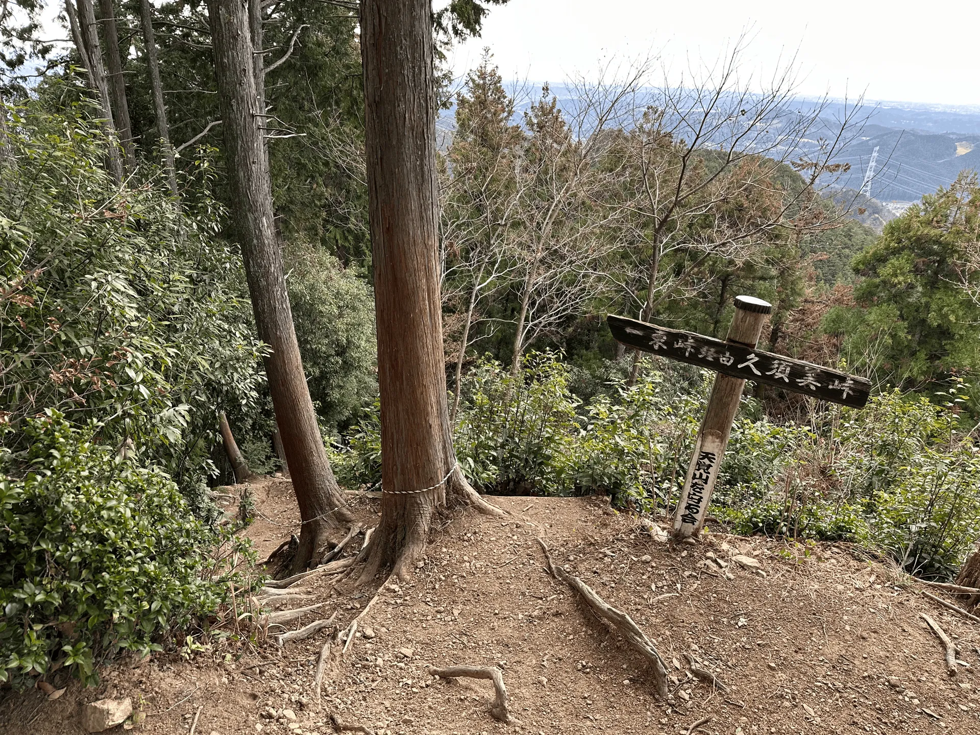
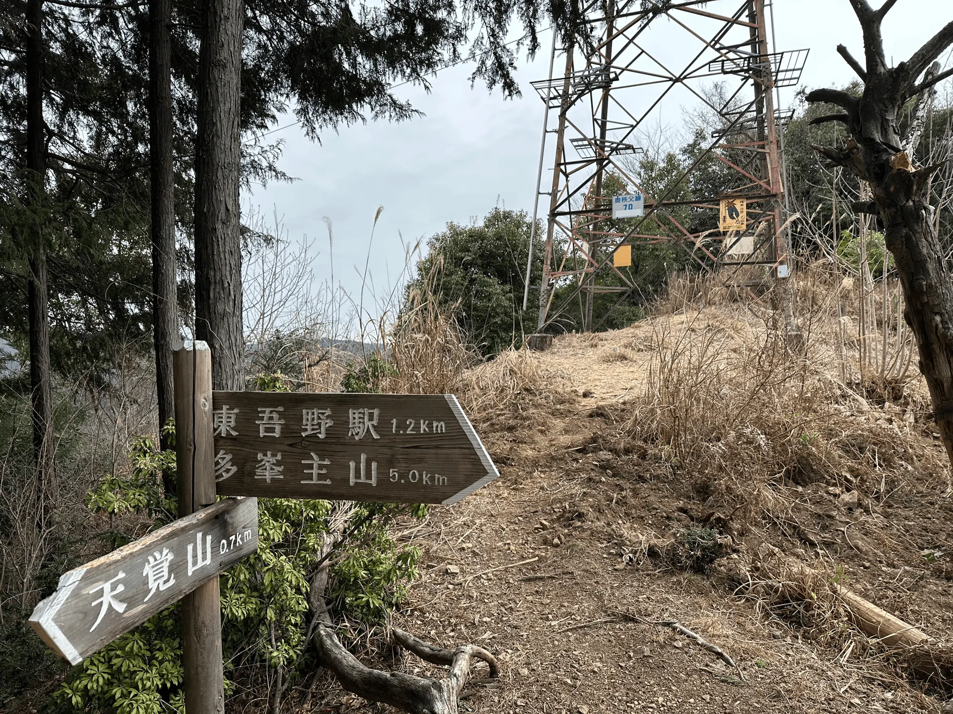
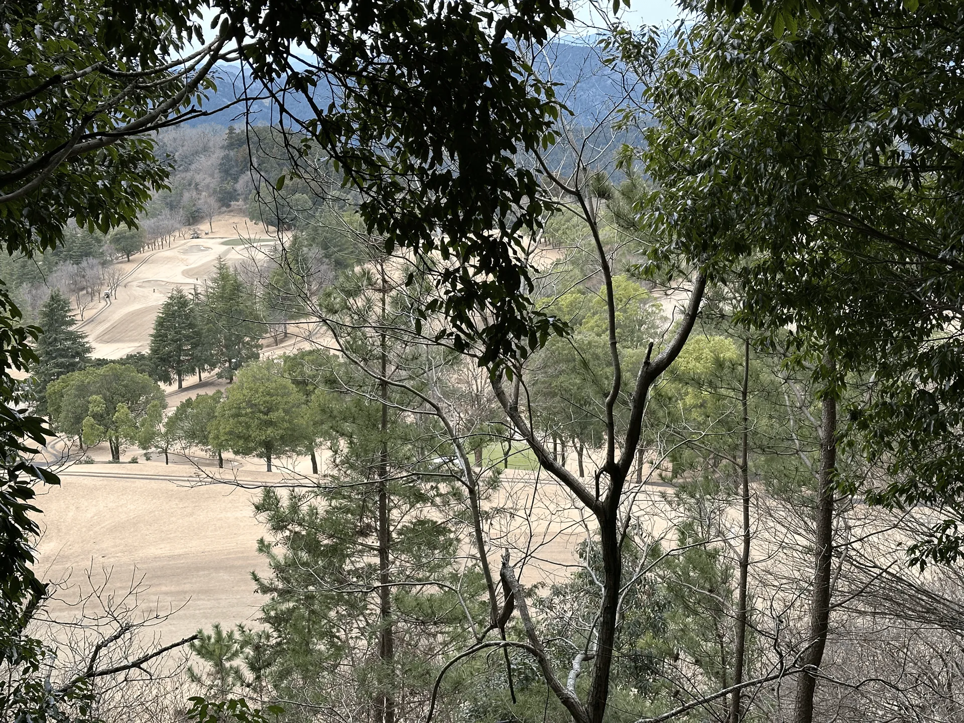
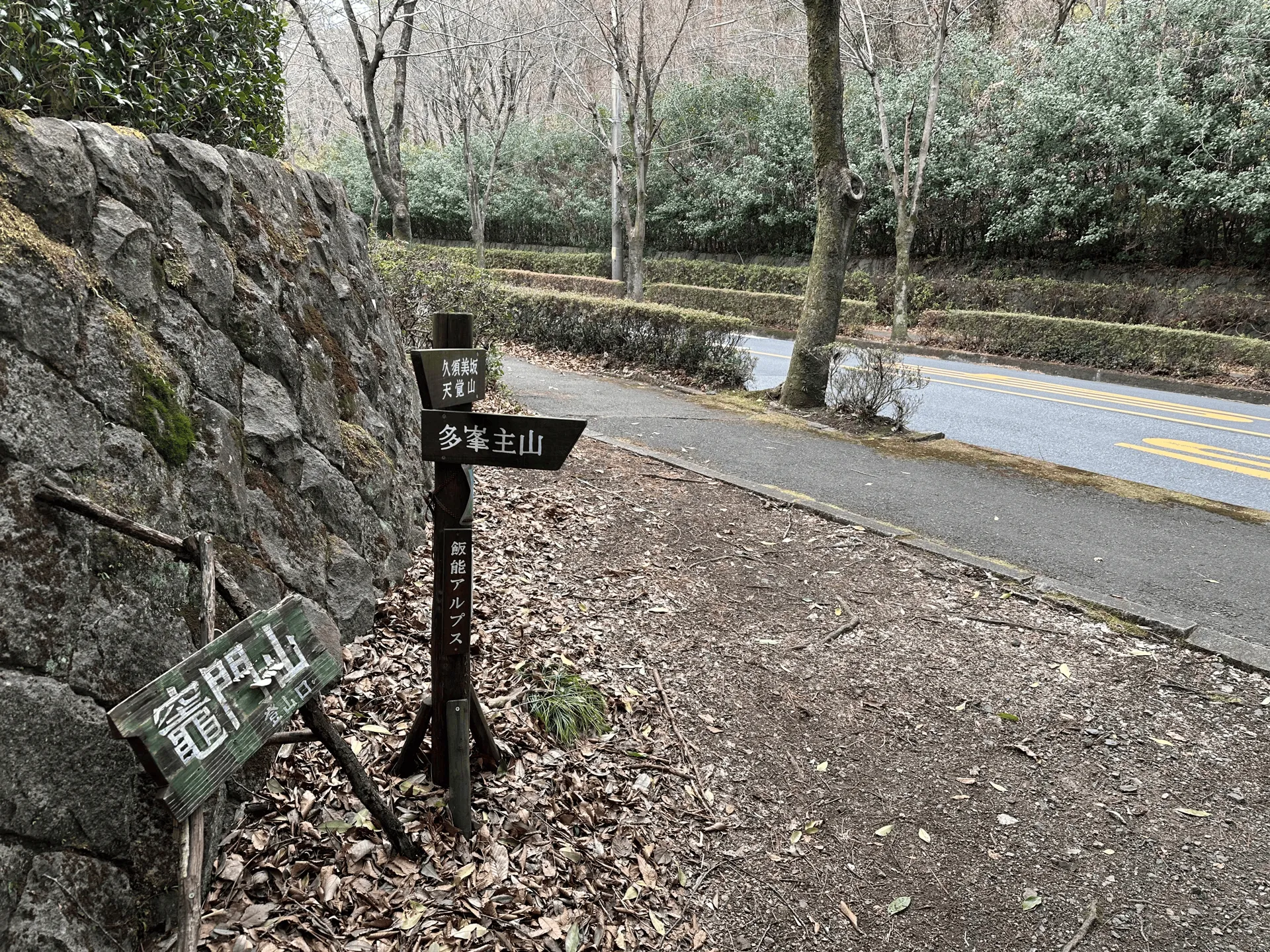
From Mt Tenran, you’ll be wanting to follow the signs for Mt Tonosu (多峯主山). Along the way we even passed a golf course, which goes to show how low-elevation this hike is.
Along the way, you’ll pass the minor peak of Mt Kusumi (久須美山, kusumi-yama).
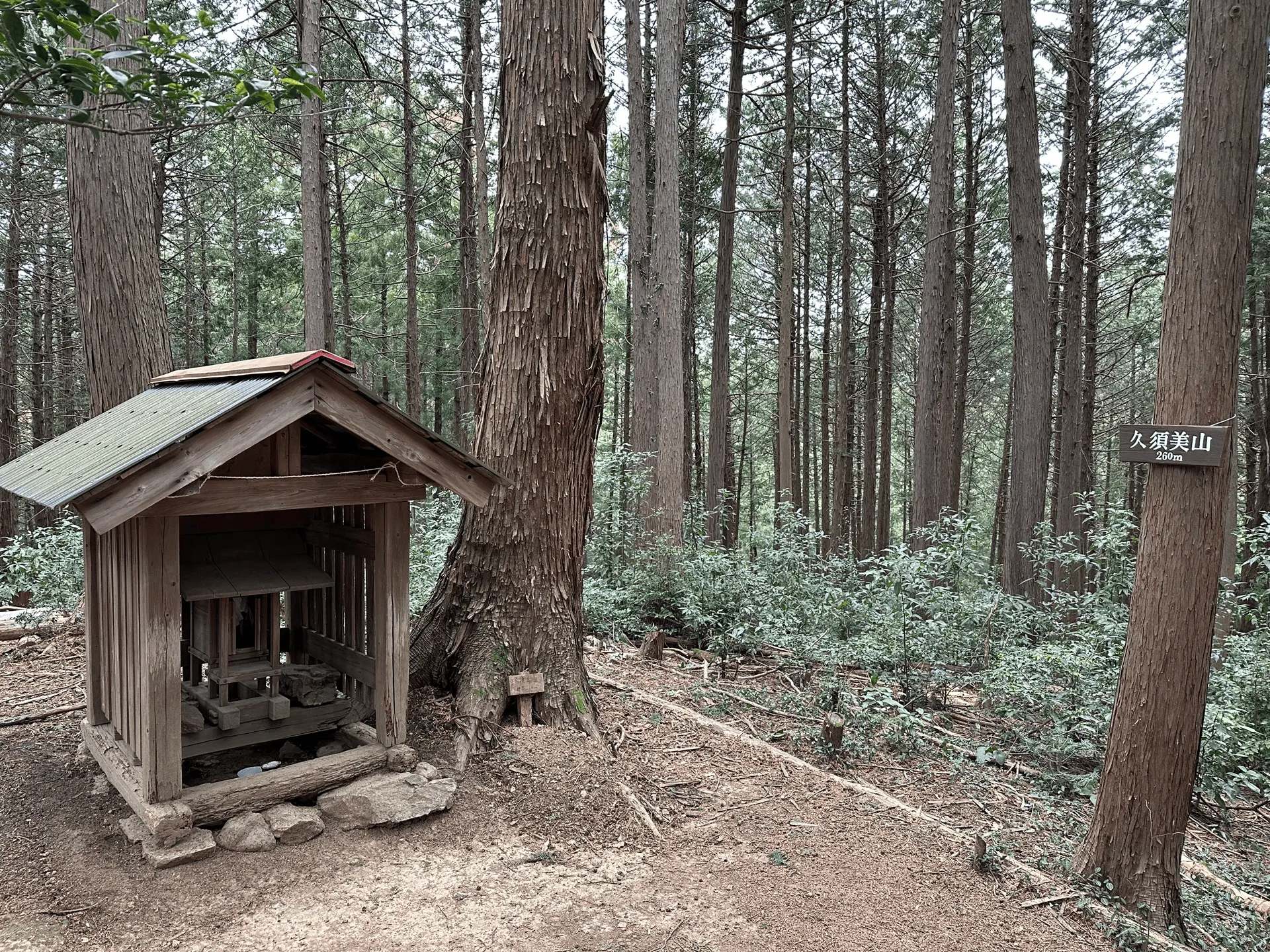
There’s also the interestingly-named Kusumi Cairn (久須美ケルン) which has a pile of rocks. The peak’s official name is Mt Nagata (永田山) but YAMAP had it listed as Kusumi Cairn (Mt Nagata). I wonder at what point did people place the rocks here for it to become named after it?
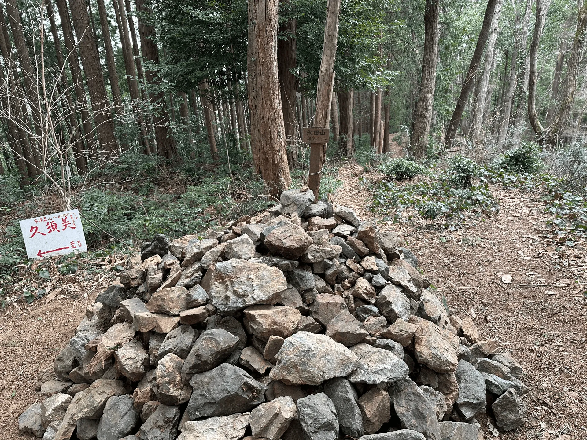
We reached the cairn at 11am, 3 hours into our hike. There were some benches nearby so we had an early lunch.
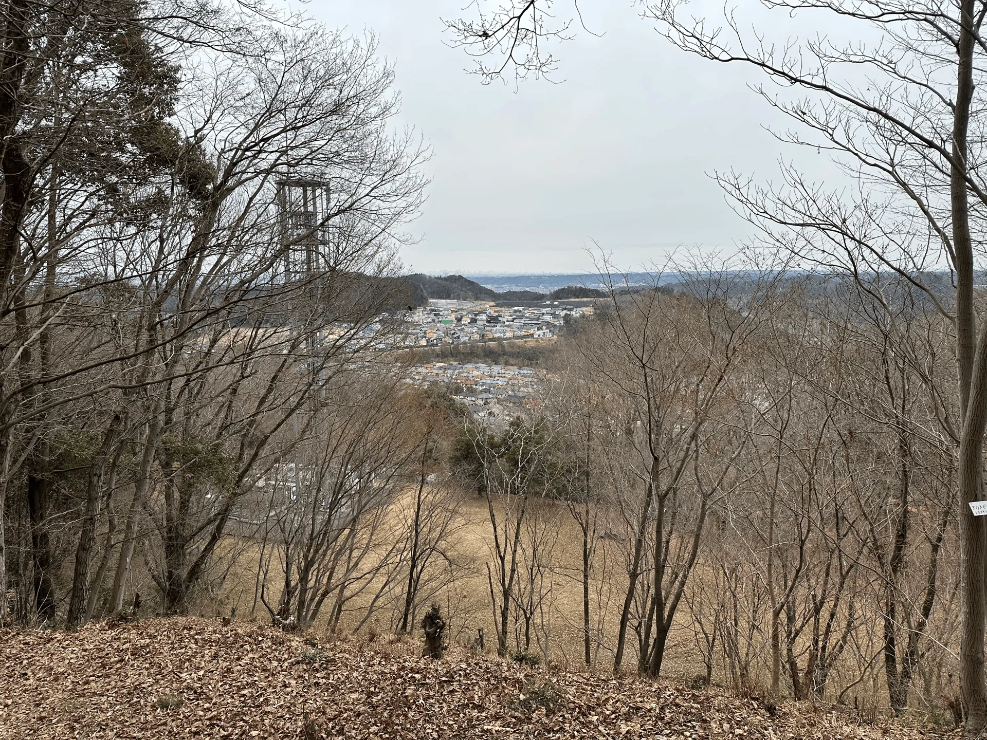
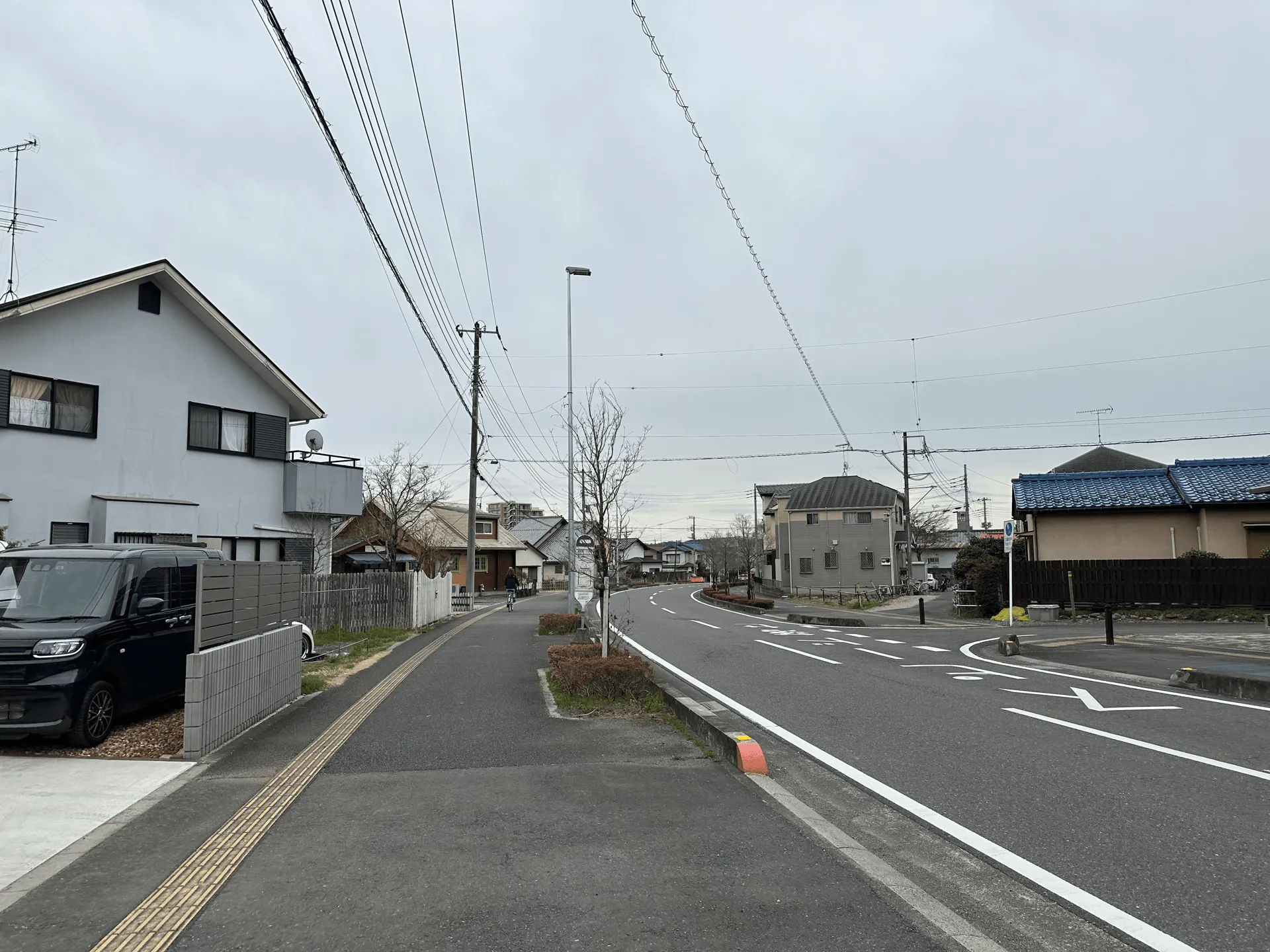
From the cairn, you’ll descend down to walk just above the town of Nagatadai. This was one of the main “scenic” points on today’s hike. It’s not often you get to hike alongside a sprawl of houses. Maybe as an Australian or American, these houses might look quite small to you - but as Tokyo-dwellers these houses looked huge in comparison what we normally see. Not to mention a lot seemed to have backyards, which would be unheard of in inner Tokyo.
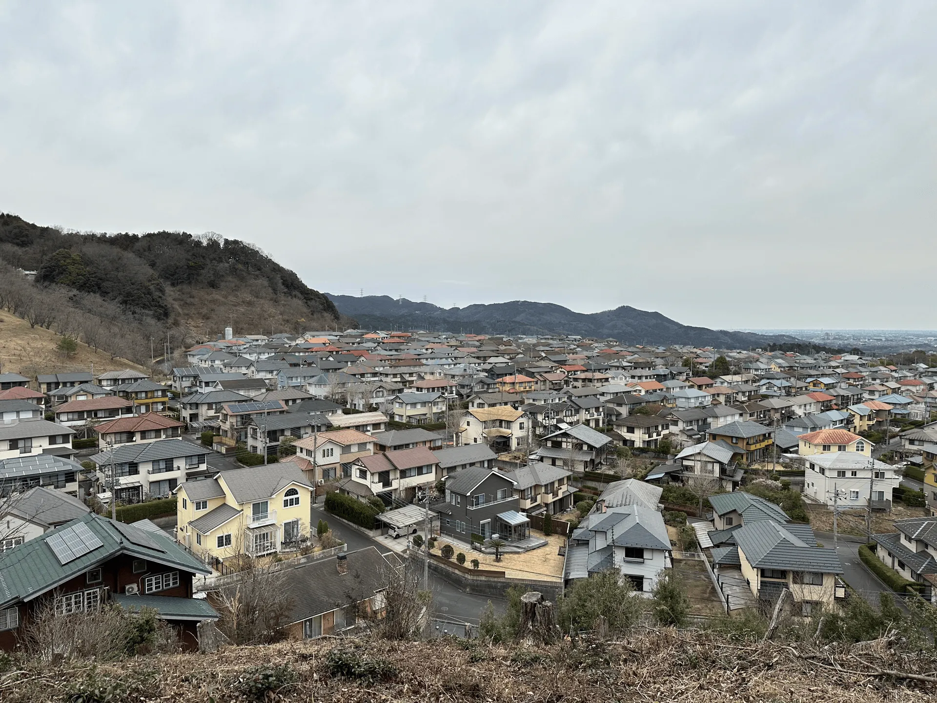
This hike was in Saitama, a prefecture north-west of Tokyo, which has cheaper land prices, and presumably since this was not in walking distance of a train station, it made it cheaper still. Saitama is often given the unfortunate nickname of da-saitama (from “dasai” which means “lame”) by Tokyoites, but I wouldn’t mind living in such a large house, ha.
After passing the house, you’ll descend down to a busy road, which you’ll need to cross to get back onto the hiking track.
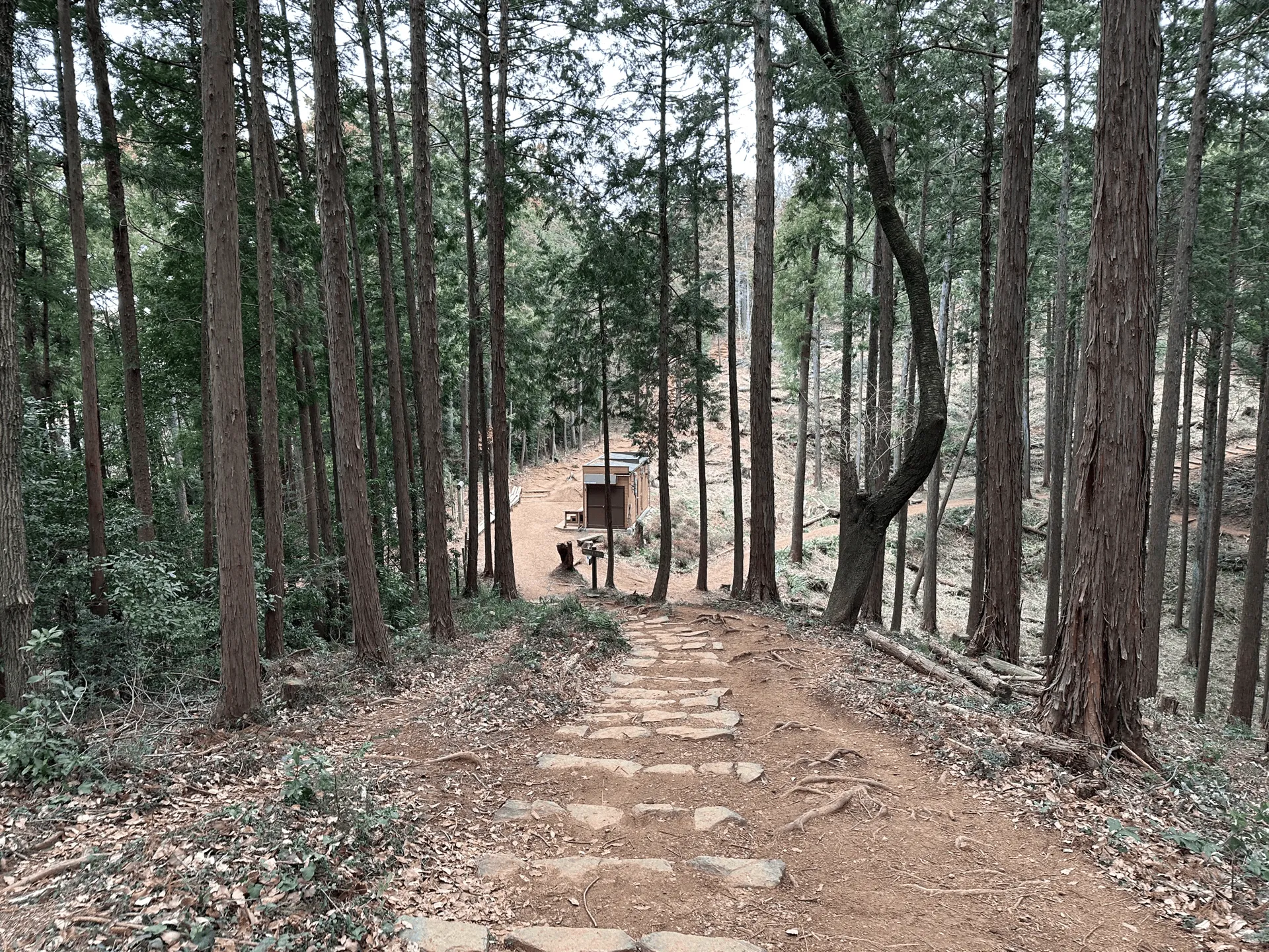
From here there’s one last steep climb, but within 30 minutes you’ll be done with the climbing and it’s nearly all downhill from here. The stretch of trail up to Mt Tonosu is well-maintained with a lot of staircases. There’s also your first spot for a toilet break if you need one here.
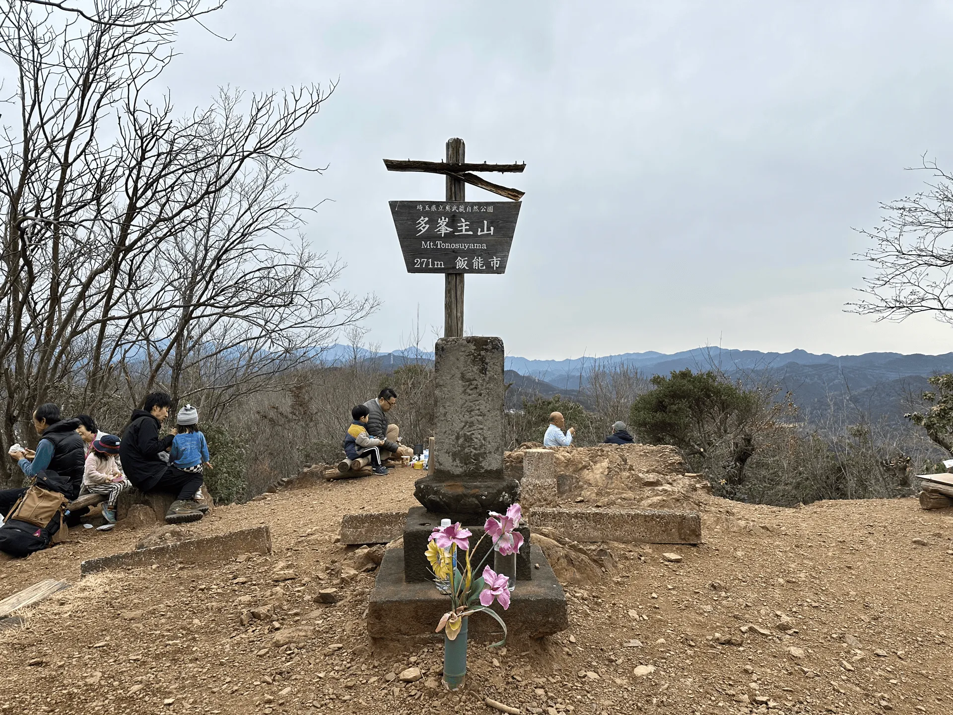
We reached Mt Tonosu (多峯主山, tonosu-yama) at 12pm. There were plenty of people here enjoying their lunch, and this was the most popular peak we passed on the course.
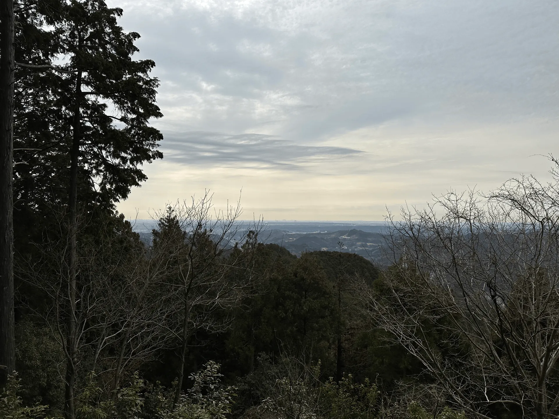
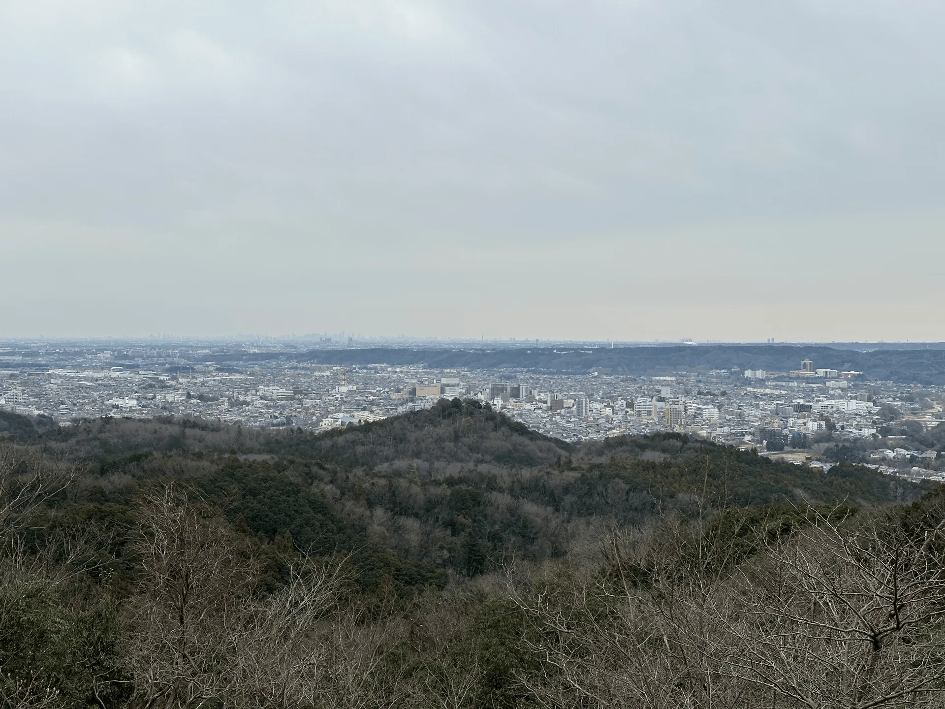
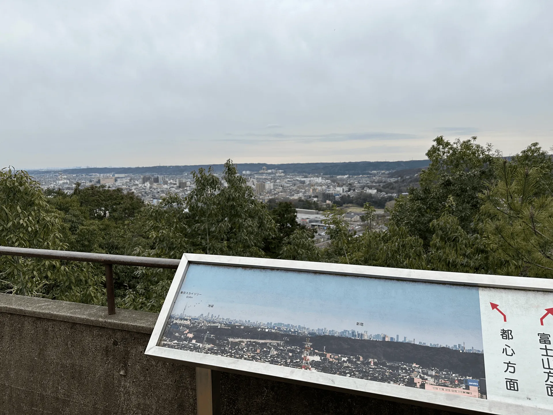
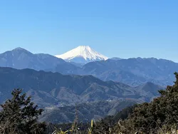
From Mt Tonosu you can also get views of the city, albeit a little hazy. We were able to spot the Tokyo Skytree in the distance, though!
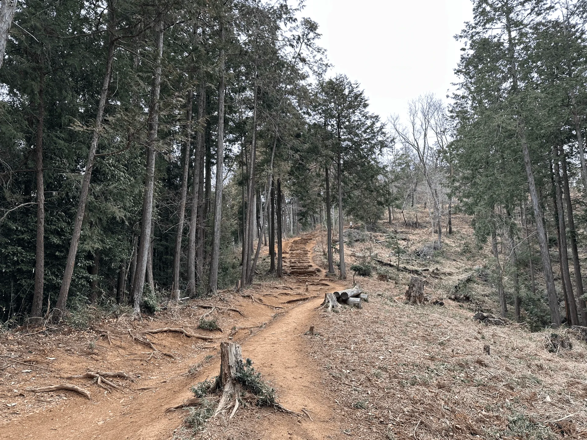
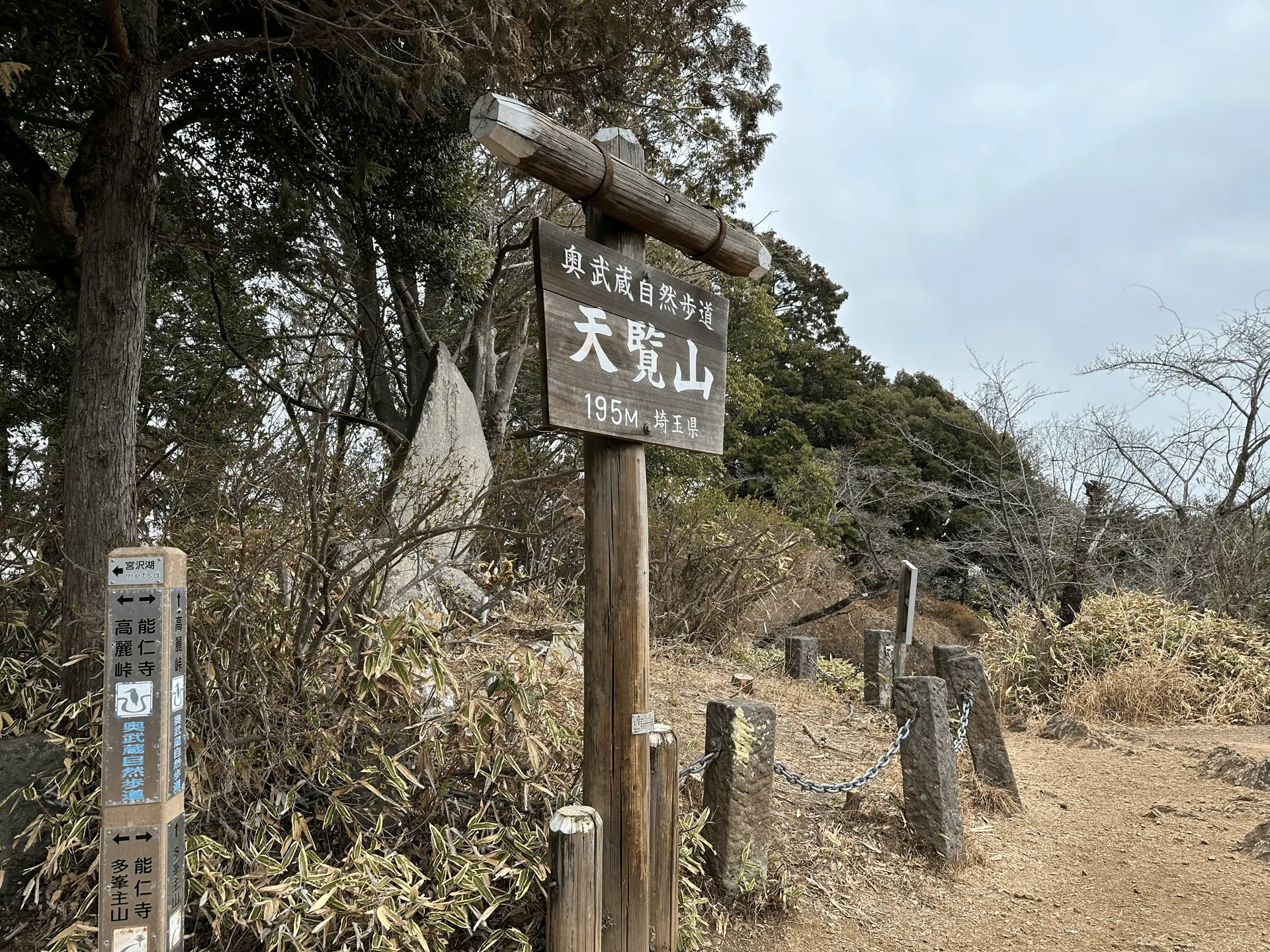
From Mt Tonosu you’ll continue to get stairs (nice) before coming to a final short climb to get to the final peak of Mt Tenran.
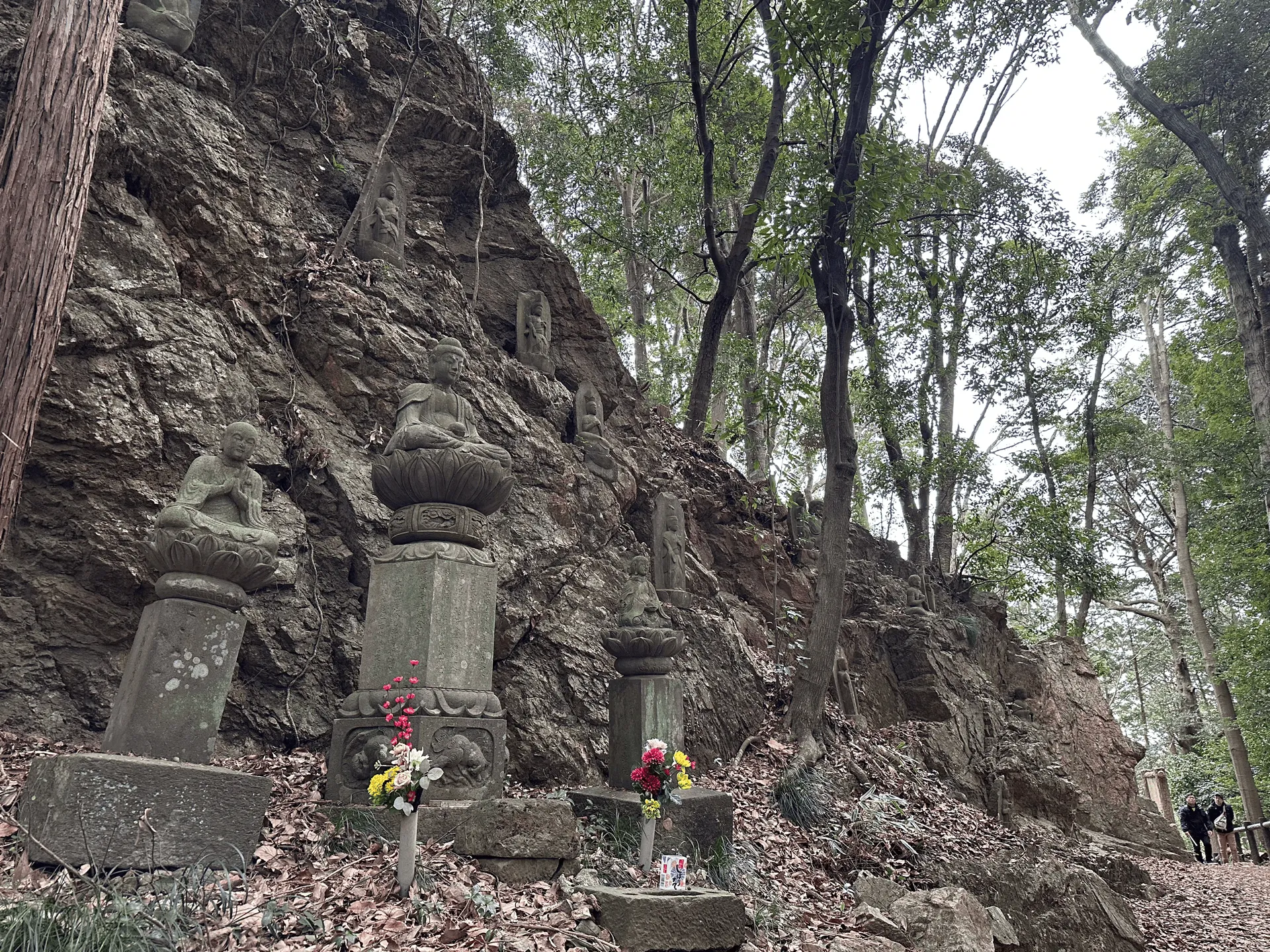
Mt Tenran has a small observation deck, so there were a couple of people milling about here. Actually, they were mostly non-hikers. This is the closest peak to the town of Hanno, so I suppose this is a nice spot to get a bit away from the crowds and get some fresh air. Apparently it got its name after the Emperor Meiji climbed it, and is designated as one of the six Scenic Beauty spots in Saitama.
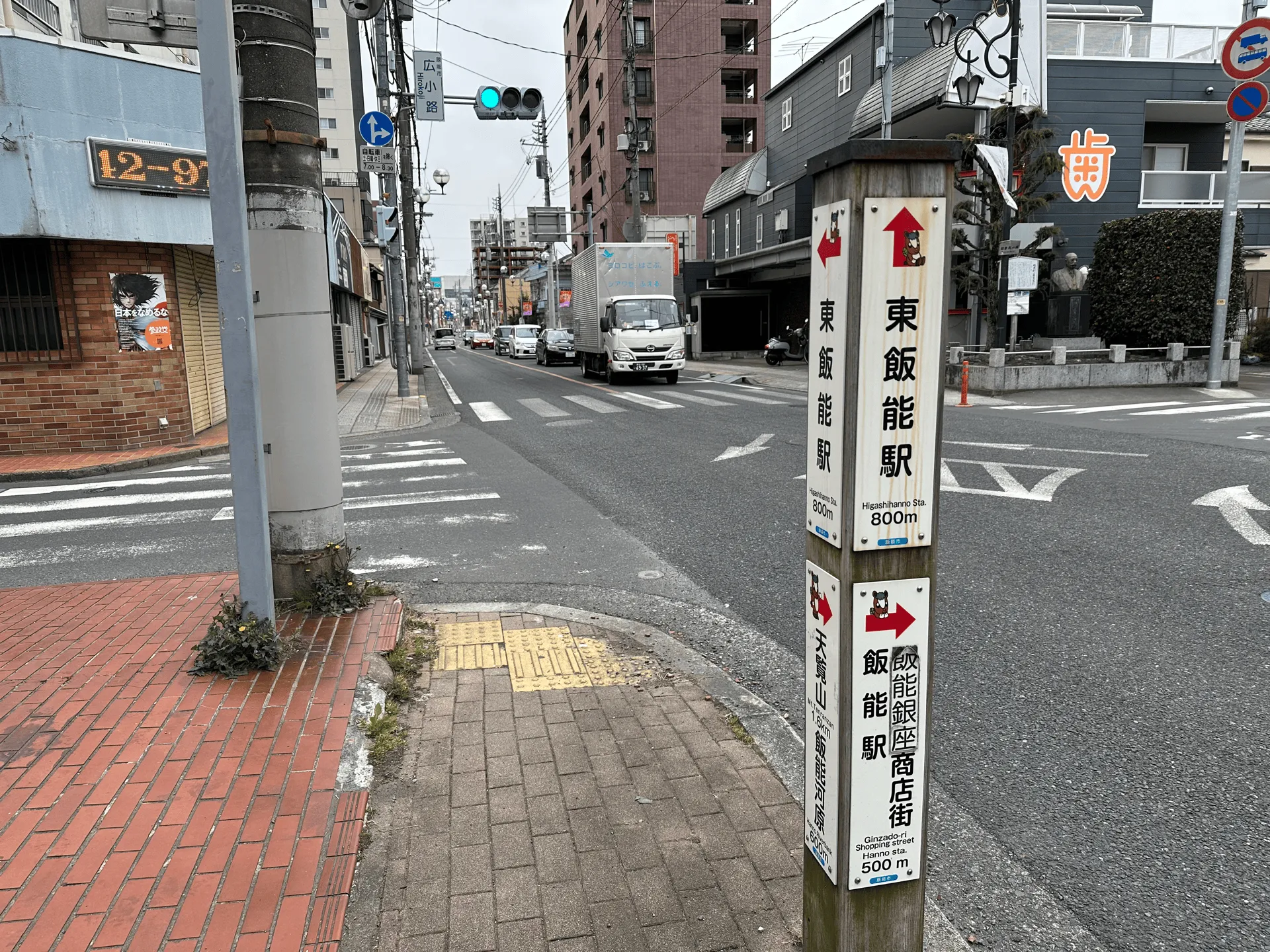
Descending from Mt Tenran, you’ll head into the town of Hanno.
You can finish your hike at Hanno station (Seibu line) or Higashi-Hanno station (JR and Seibu lines) which are quite close to each other, depending on how you are planning on getting home.
Together with my previous Hanno Alps hike, I completed YAMAP’s Hanno Alps badge, which you get if you pass the 6 major peaks of the Hanno Alps. My friends and partner sometimes rib me a bit for my love of YAMAP badge hunting, because they are just digital badges that show up on your profile and mean absolutely nothing. But having grown up on video games I kind of like the gamification of it. It brings an additional level of fun to it for me and makes me want to explore mountains I probably would never have otherwise. So thanks, YAMAP!
| Date climbed | Length | Course time |
|---|---|---|
| 2025-03-15 | 12km | 5h30min (the expected time for an average hiker without breaks) |
This is a point-to-point course starting at Higashi-Agano station, and ending at Hanno station. Along the way, you’ll pass Mt Tenzan, descend down to the town of Nagatadai, before rejoining the trail and hiking up to Mt Tonosu and finally Mt Tenran. The first half of the course was more popular with trail runners, and the second half with casual hikers coming up from Hanno.
There are toilets available at train stations on either end, and on the latter half of the course, around Mt Tonosu and Mt Tenran.
| Time | Location | Transport | Cost | |
|---|---|---|---|---|
| 06:27 | Tokyo station (東京駅) | Local train | 784 | |
| 08:09 | Higashi-Agano station (東吾野駅) |
Access to Higashi-Agano station is via the Seibu line. If you’re coming from Tokyo, you’ll need to make a transfer at Ikebukuro station to get onto the Seibu line, and then another transfer at Hanno station to get to Higashi-Agano station.
Depending on the timing, you can get a local train, or there is the option to take the Laview express train. This is a special express train on the Seibu line that requires you buy a reserved seat ticket.
Similarly on the way back, you’ll depart from Hanno station and make a transfer at Ikebkuro station to get back home.
| Time | Location | Transport | Cost | |
|---|---|---|---|---|
| 14:35 | Hanno station (飯能駅) | Local train | 733 | |
| 15:52 | Tokyo station | |||
| Trip total: | 1517 |
This hike has great public transport access, and is a station-to-station course, so I wouldn’t recommend coming by car. If you really wanted to, you could park your car at either station and take a train back to your car after finishing the course. Higashi-Agano station is more rural, and it seems like the car park that was available at the station is permanently closed - so your chances may be better at Hanno, which should have paid parking options in the area.
If you are planning on coming by car, you could also do a shortened variation of the course, and do a 4.5km loop course up to Mt Tenran and Mt Tonosu before returning to Hanno.
With only a max elevation of 446, this course is hikeable nearly year-round without snow. I would recommend not coming in summer as it can get pretty hot - I can see on YAMAP that July and August are the least-climbed months, and for good reason!
There also may be some snow in winter on the off-chance it happens to snow in Tokyo/Saitama, although from a cursory look at YAMAP, I don’t see any photos of it. If in doubt, I would recommend checking YAMAP for the latest trail logs of people hiking the course.
Leave a comment