Mt Ashitaka (愛鷹山)


I climbed Mt Ashitaka (愛鷹山, Ashitaka-yama) as my 22nd mountain in the 36 views of Fuji series. Confusingly, the name "Mt Ashitaka" is used to refer to the collective set of peaks in the area, as well as the specific peak that I visited. Mt Ashitaka itself has an elevation of 1187m, but I also climbed the Mt Ashitaka area in January when I visited its highest peak, Echizen-dake.
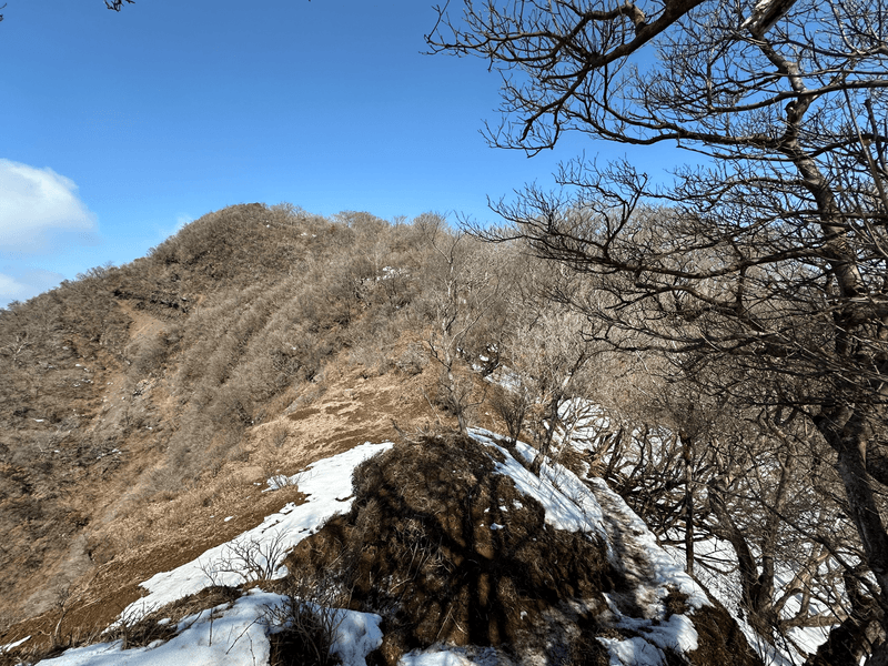
The trail first takes you up to 池の平 (Ike-no-taira), which is a little lookout that gives you a clear view of Mt Ashitaka, the final peak in the course.

, where you can see the peak of Mt Ashitaka on the left")
The peaks always look deceptively far away! From here the course gets steeper, and it's onwards to 位牌岳 (Ihai-dake).


When hiking in winter and spring, I'm fairly conscious of the elevation of the mountains that I climb. The higher you go, the more chance there is of snow, and I generally steer clear of it, especially since I'm hiking solo. I thought I was safe with Mt Ashitaka, since it's just shy of 1200m, but what I didn't realise that was Ihai-dake actually is the highest peak in the course with an elevation of 1457m. Oops!

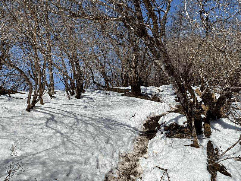
From about the 1200m mark, the path got pretty snowy. Luckily, the trail was still walkable without any equipment, so it was nice to get a little "snow hike" in. Probably my last one until next winter rolls around.
")

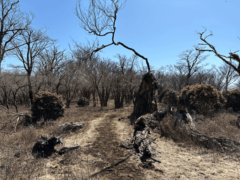
From Ihai-dake its a gradual descent down towards 袴腰岳 (Hakamagoshi-dake) which has an elevation of 1247m, and so I saw the snow start to gradually disappear.


")
The course today had a total elevation gain of 1190m over 13km. I haven't really been doing any long courses this year, so this one definitely tested my stamina - I also realised I probably need to bring more food! I was super hungry by the end of it.
As you finally approach Mt Ashitaka, you first descend down the hill a little bit before beginning the final climb.


The climb up Mt Ashitaka is very steep and muddy. Luckily there is plenty of rope so it's still doable, but it would definitely be a pain if there wasn't. You'll have to revisit the same path as you descend back the way you came for a little bit before turning at the fork.

From here it's just over another 90mins of descent before I reached the carpark at which I started at. I was very tired by this point!


My spirit was especially broken by the one last climb you have to make up the road to get back to the carpark.


Hiking course details
| Date climbed | Length | Course time |
|---|---|---|
| 2024-03-15 | 13.6km | 7h 24min (the expected time for an average hiker without breaks) |
This is a loop course beginning and ending at the carpark. Unfortunately it doesn't look too accessible by public transport.
There is a bio toilet available at the carpark.
If you just want to climb Mt Ashitaka itself, you could do an out-and-back course. However I found this part of the course was the most boring as it was mostly road, so I would recommend giving the loop course the time if you have confidence in your stamina.
Car access details
| Car park | Time (from Tokyo) | Round trip cost |
|---|---|---|
| 長泉町森林公園 駐車場 (ながいずみちょう しんりんこうえん ちゅうしゃじょう) | 2h | ~8300 yen |
This carpark is pretty big, and was very empty on a weekday.
I struggled to find this one via search in Google Maps, so you may need to use YAMAP to get the specific GPS coordinates.


