hikes
Rigi: Switzerland's Queen of the Mountains
22 May
The course starts from Numazu station, a 2 hour train ride from Tokyo.
2 hours drive from Tokyo, but the car park at the trailhead can only fit 8 cars.
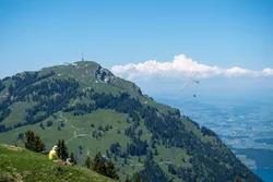
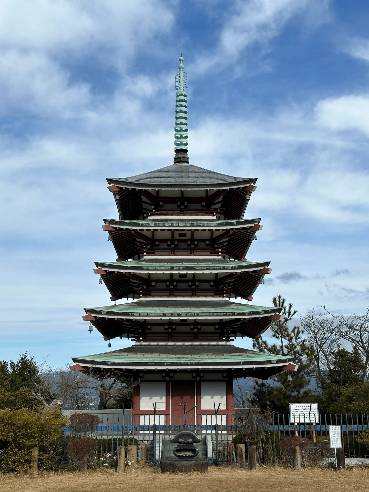
In February of 2024 I hiked the Numazu Alps, which lies alongside the city of Numazu in Shizuoka. The course has quite varied scenery with opportunities to see both Mt Fuji and Suruga bay. The name “alps” makes it sound like it’s a really high mountain range but it actually has a max elevation of only 391m. This makes it a perfect candidate for a winter hike!
Even with its low elevation, since there’s a lot of ups-and-downs on this trail you end up with about 1300m in elevation gain over 14km. I came by car, and so took a shorter 10km variation of the hike.
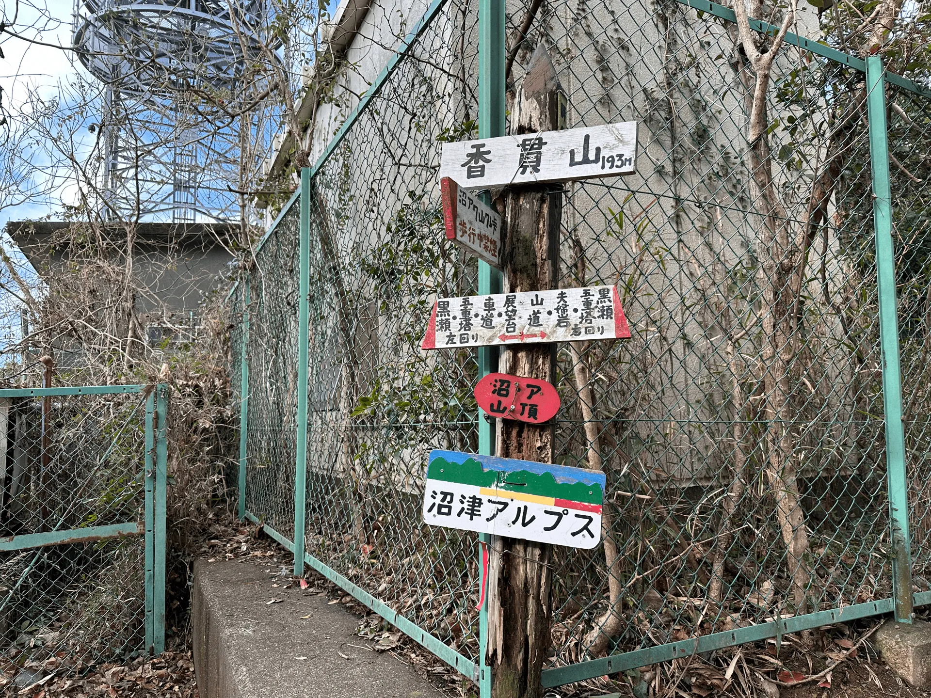
Starting my hike at the Numazu Alps carpark, its a short walk to the first of seven peaks on the course, Mt Kanakuni (香貫山, Kanakuni-yama).
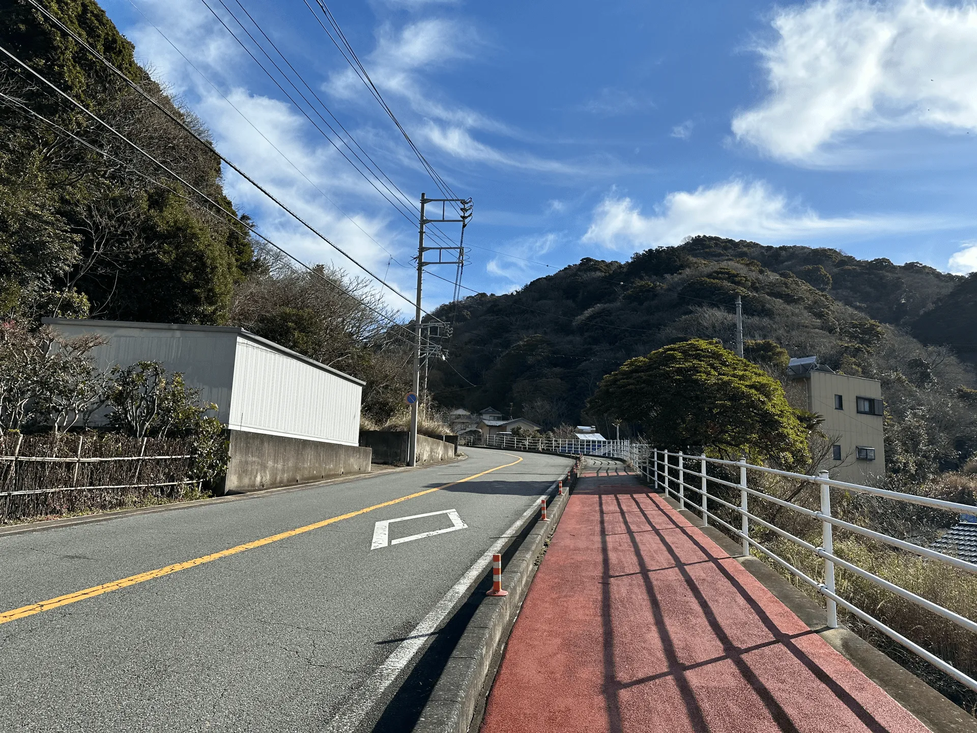
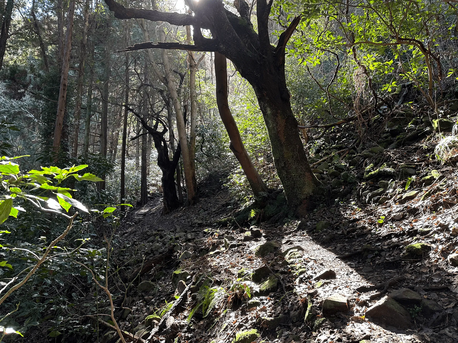
The beginning was the easiest part of the trail, and I passed by a couple of elderly hikers and locals out on a walk. The alps are intersected by a road so after descending you’ll walk along the road for a bit before beginning your climb back up.
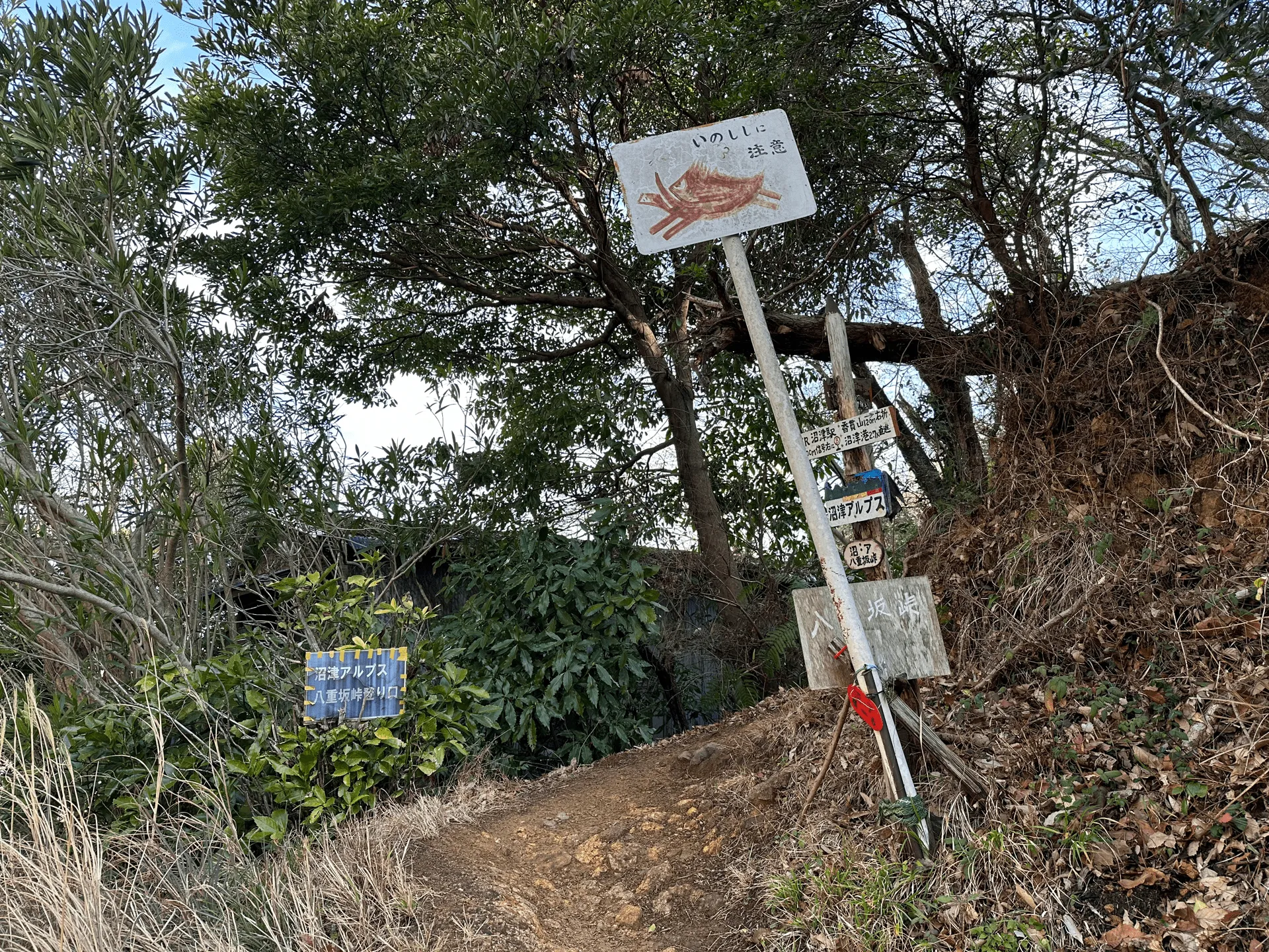
Once you reach the second trailhead, this is where the “real” hike begins.
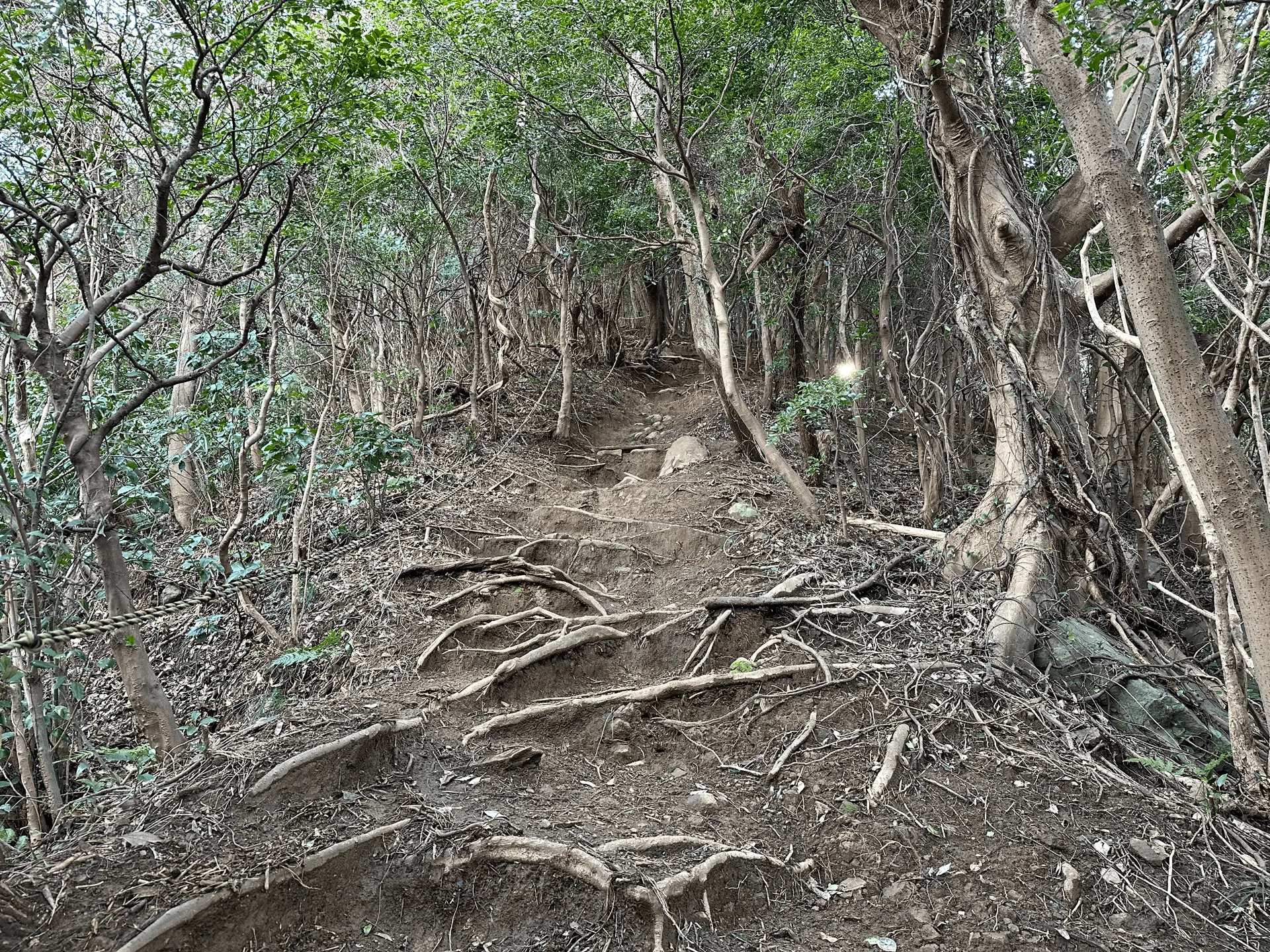
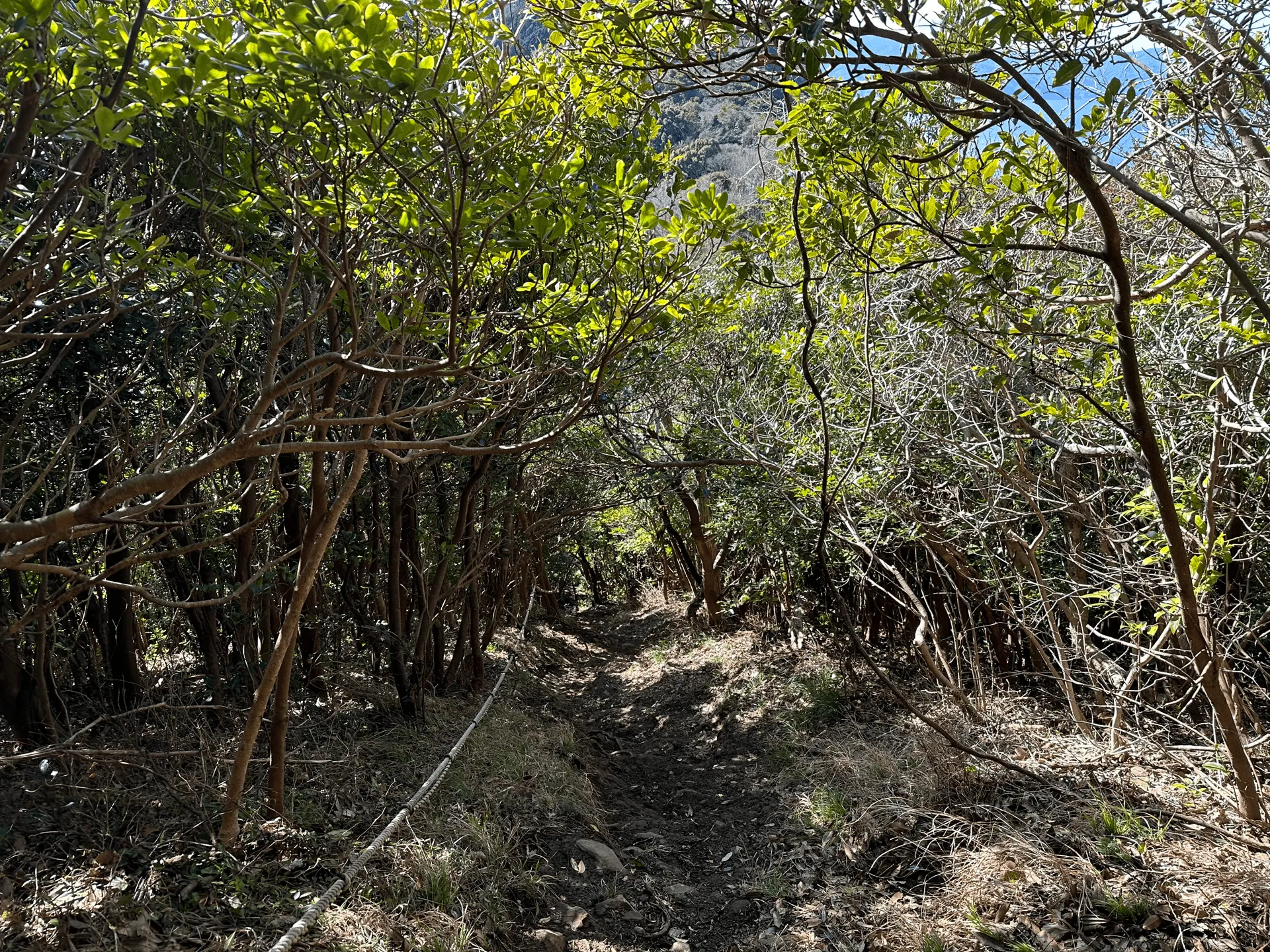
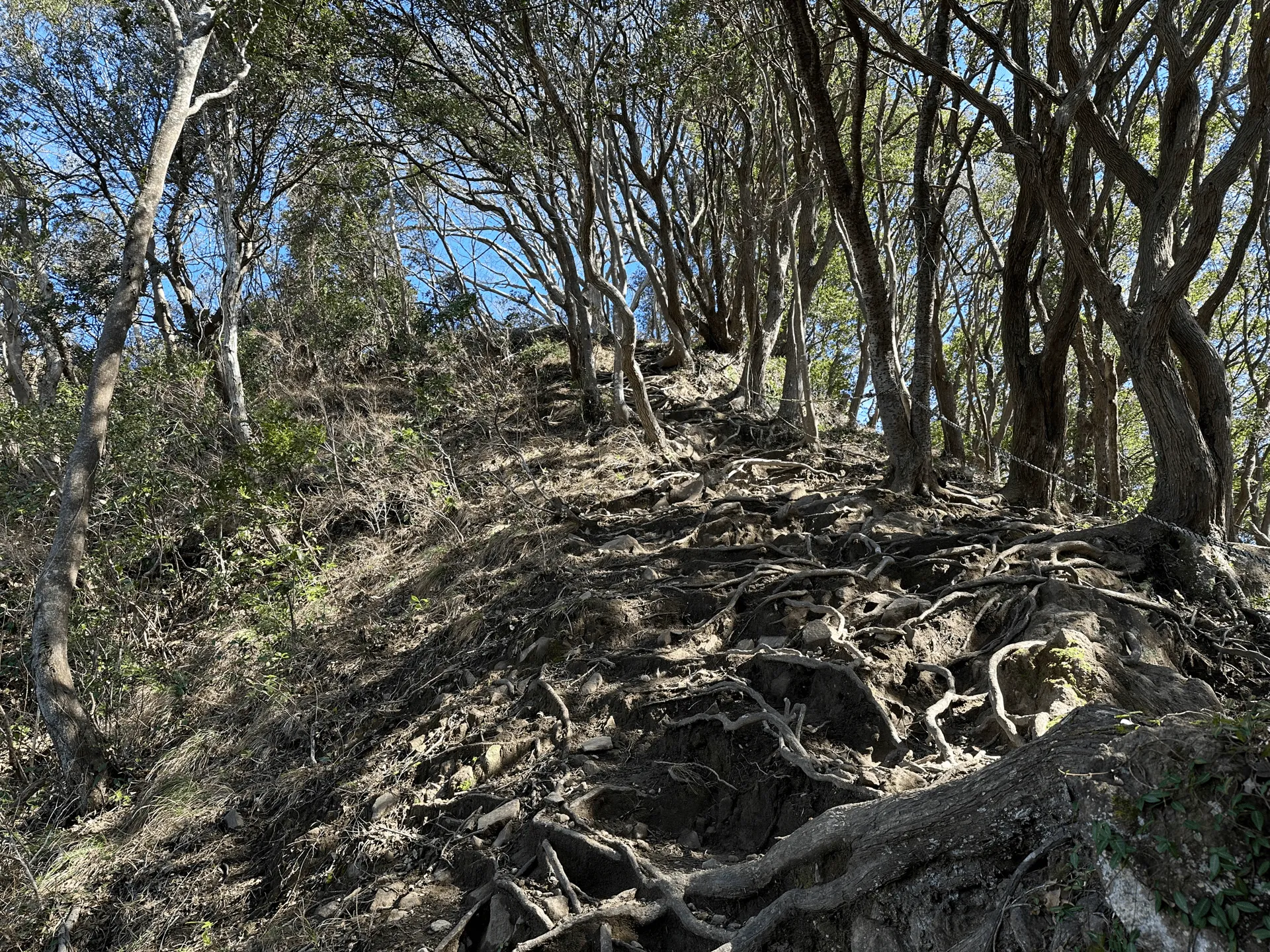
The climbs and descents were all quite steep on this trail, but luckily there were a lot of ropes, which I heavily relied on today because some parts were a bit muddy. I think without the ropes this would be a very annoying hike.
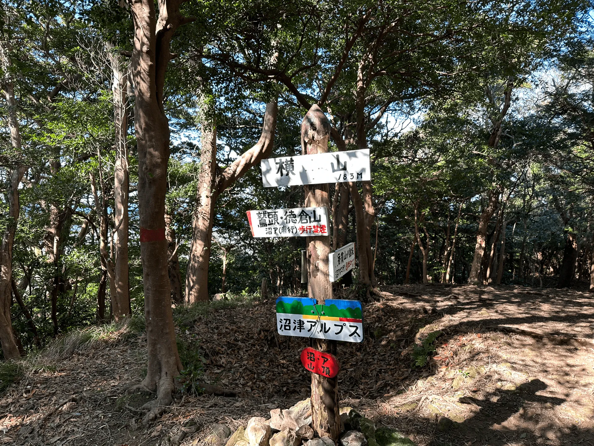
After a short but steep climb, we’re onto our second peak, Mt Yoko (横山 Yoko-yama).
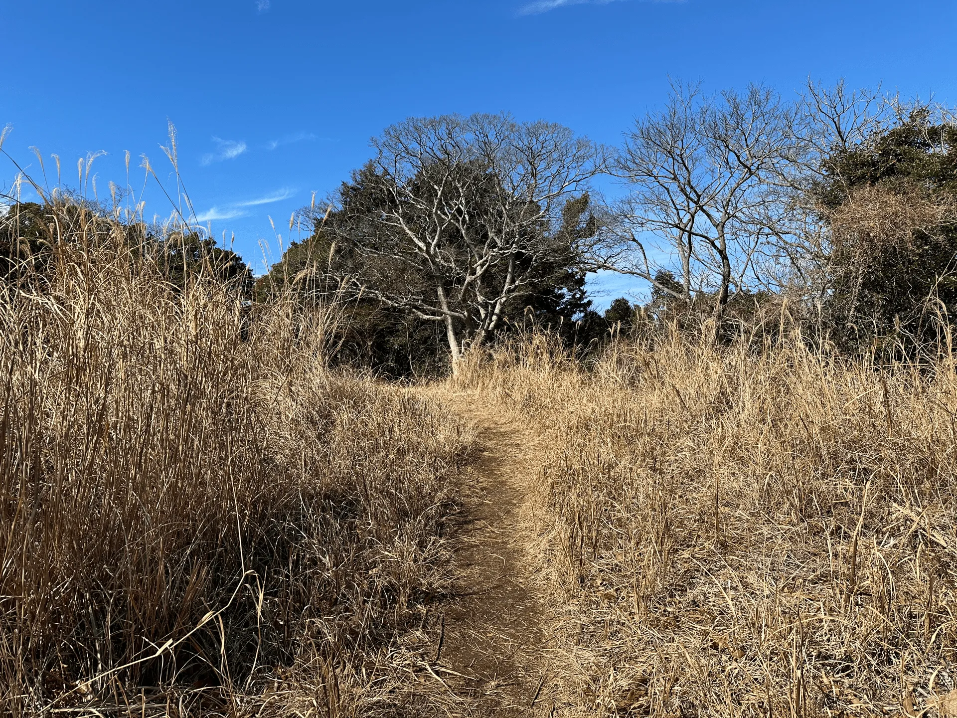
There’s a decent stretch on this trail where you get to be out in the sunshine, which felt very warm and relaxing for a February hike.
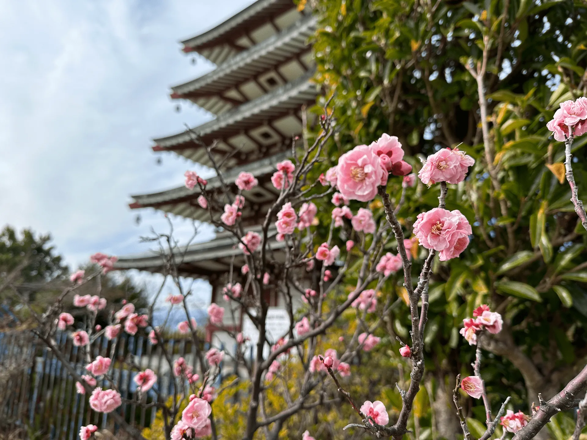
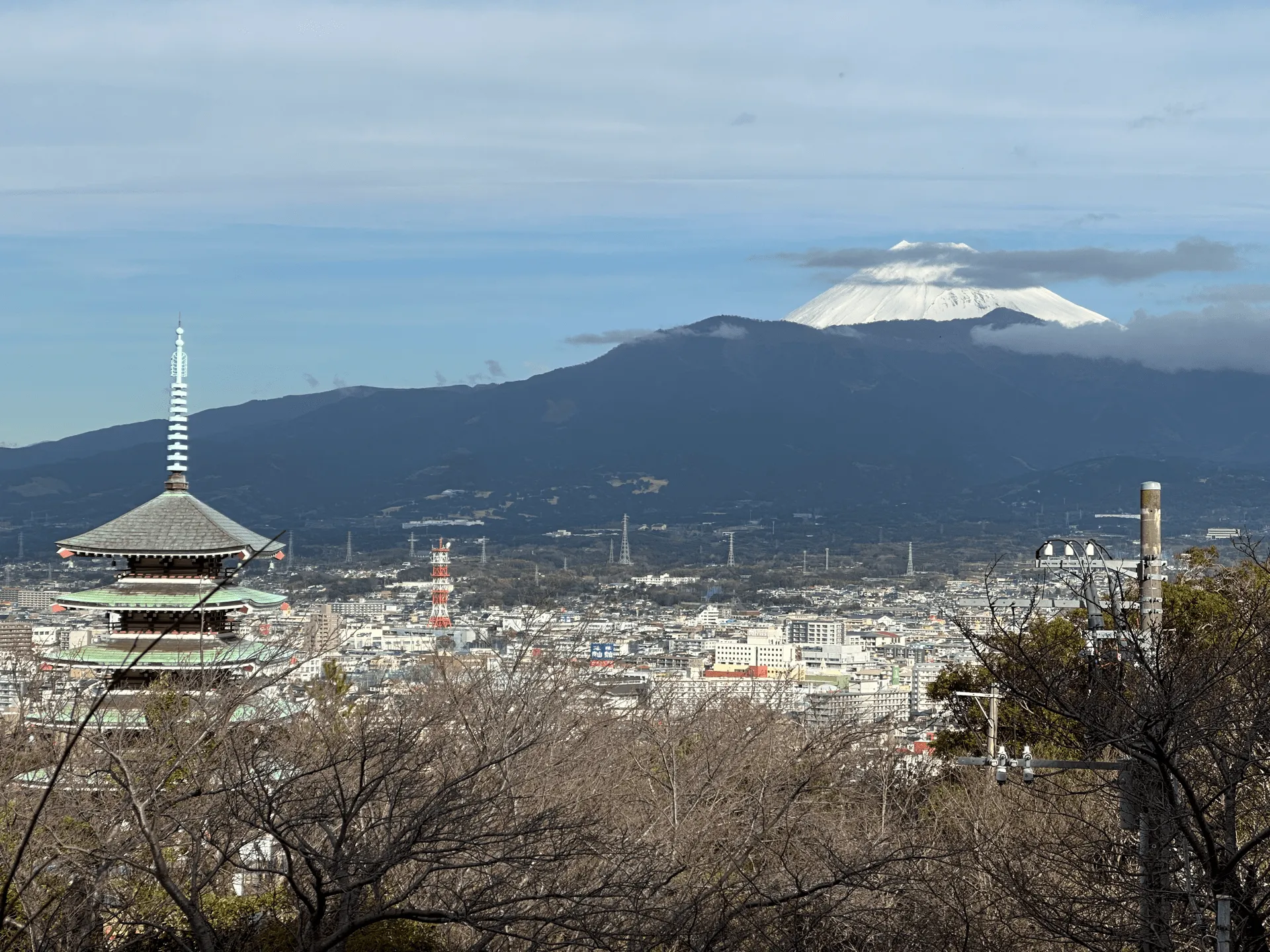
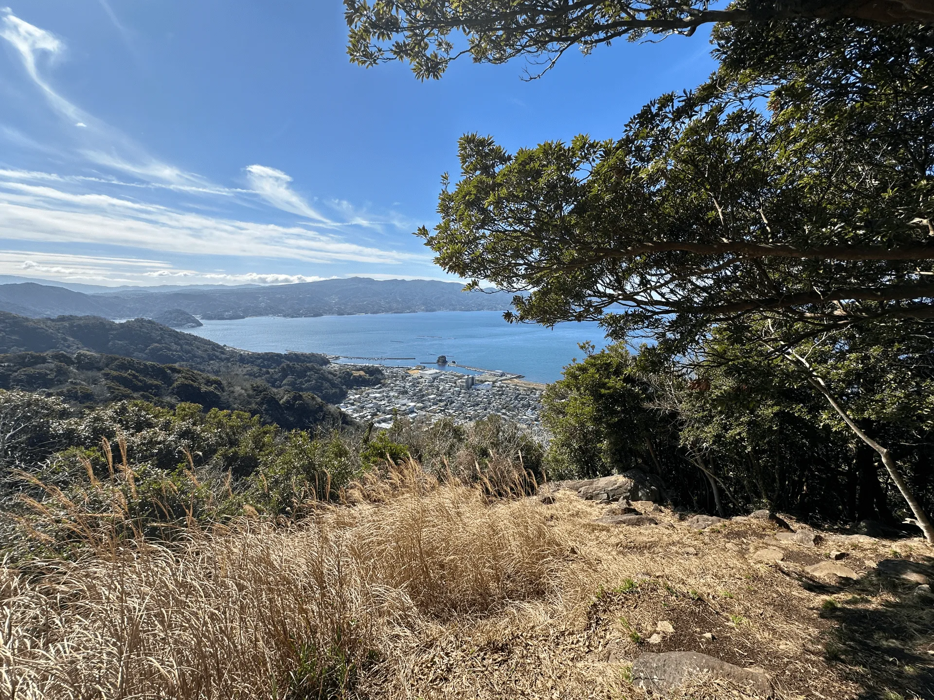
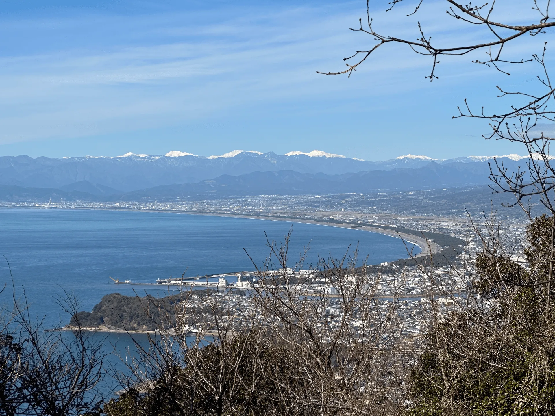
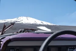
Then we’re onto our third peak, Mt Tokura (徳倉山, Tokura-yama), which comes with our first clear view of Mt Fuji.
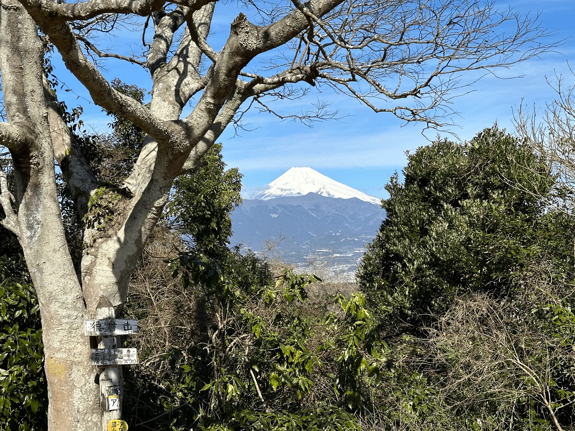
Mt Kanakuni (the first peak) and Mt Tokura were the two peaks I was most interested in climbing today, as they are both part of the 36 Views of Mt Fuji series.
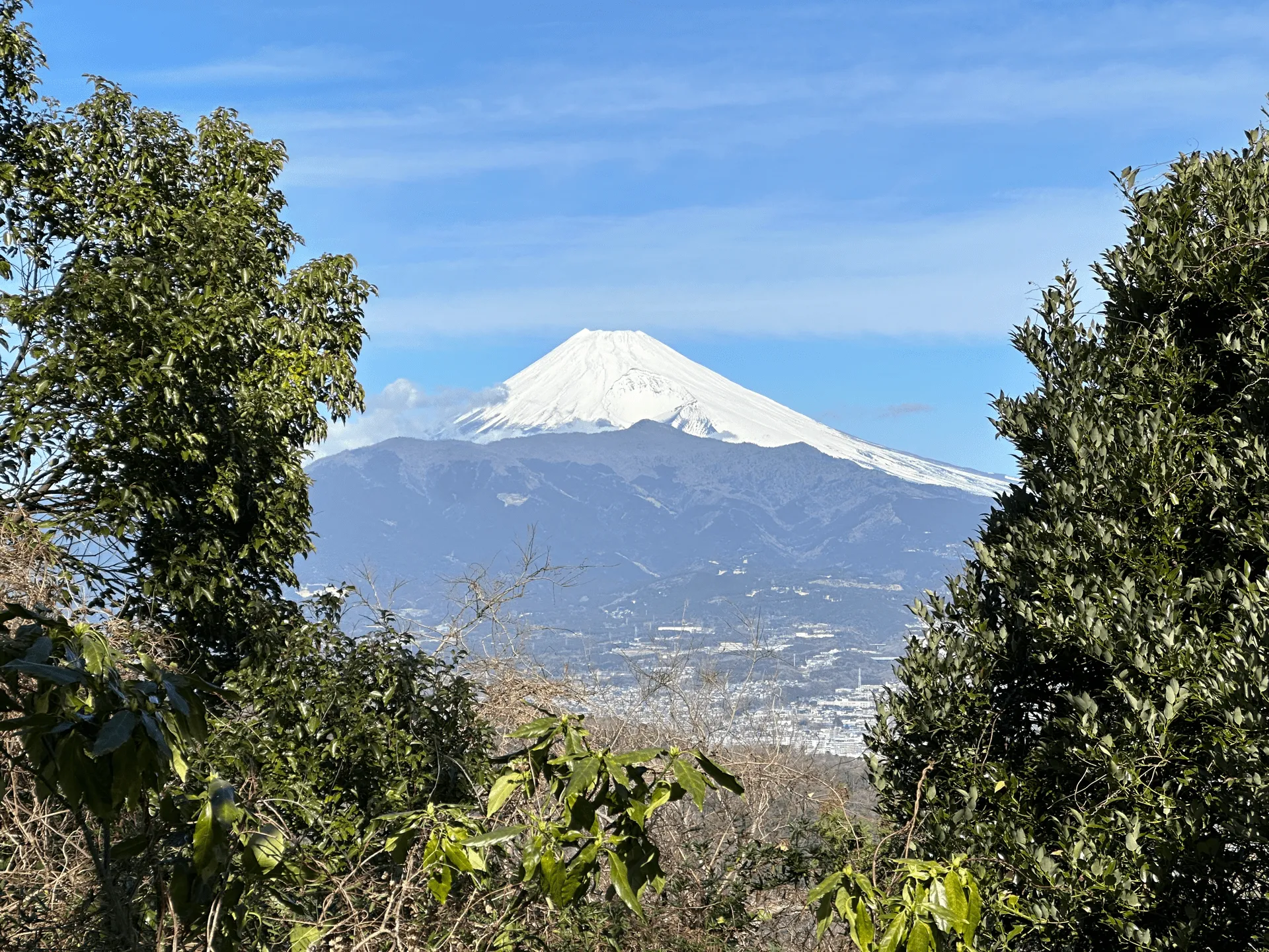
The mountains you can see in front of Fuji are Mt Ashitaka and Mt Echizen-dake.
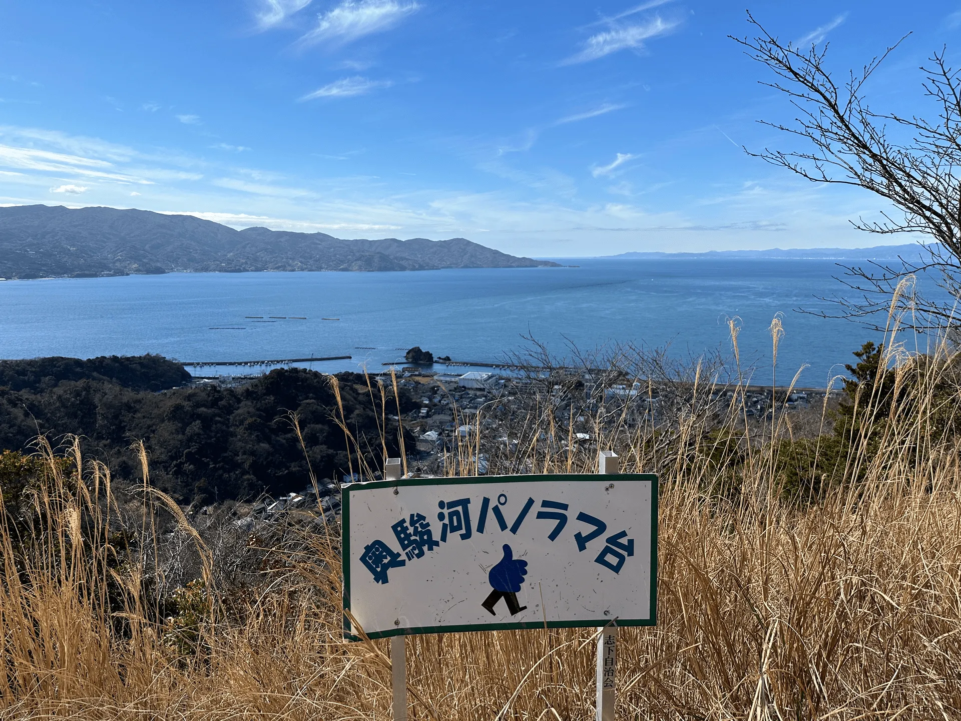
The temperature was actually very warm today, with a top of around 15C, and with the ocean views it almost felt like I was at the beach. I usually run a little hot, so today I was hiking in a short-sleeve shirt, which one old hiker I passed by was super surprised by.
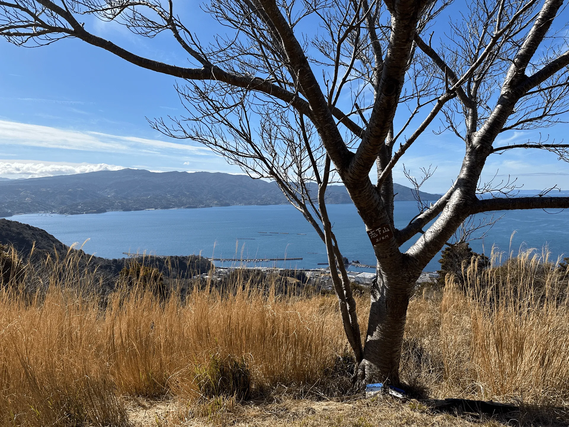
You continue to get a great view of Suruga Bay from the fourth peak, Mt Shige (志下山, Shige-yama).
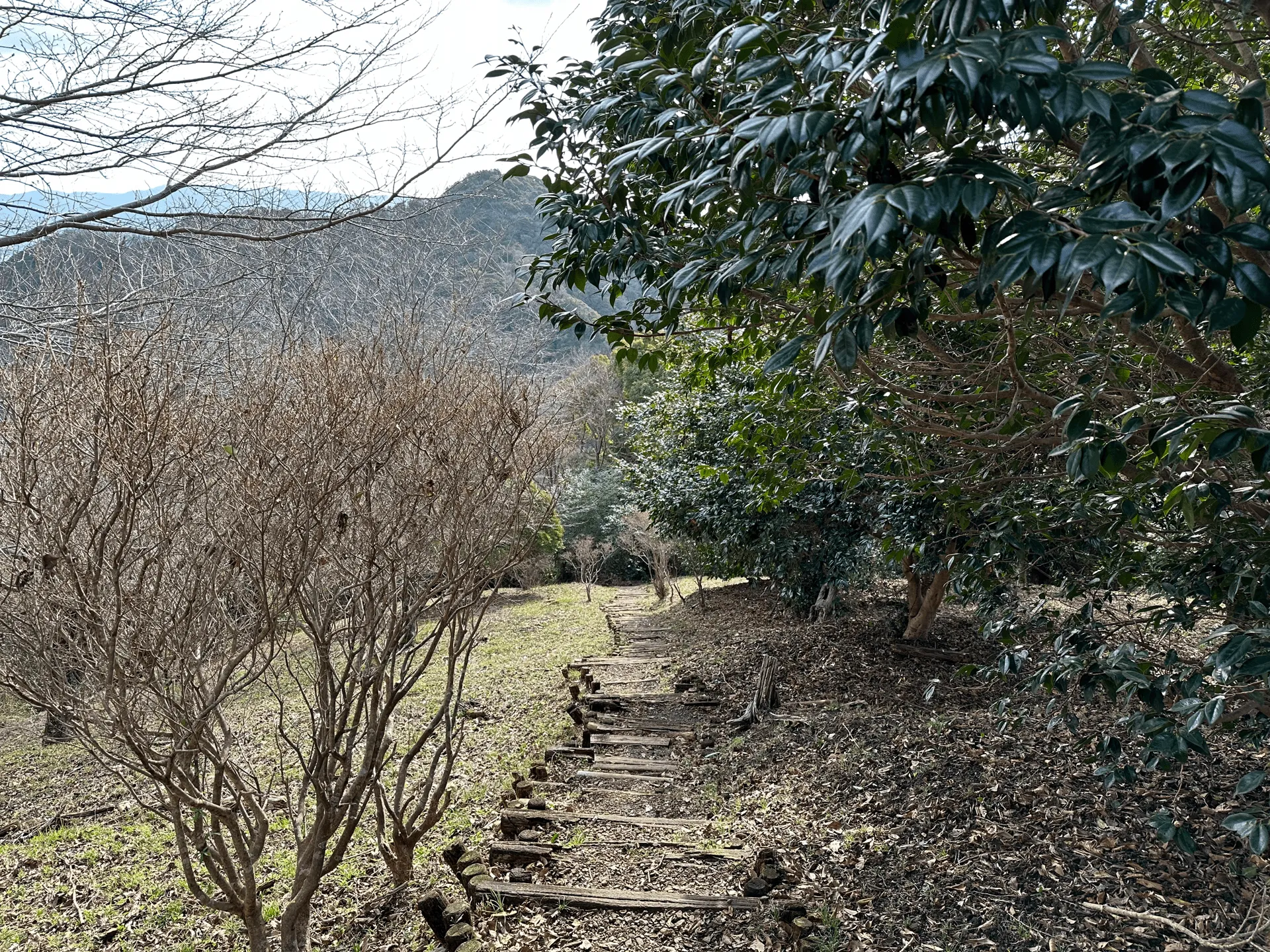
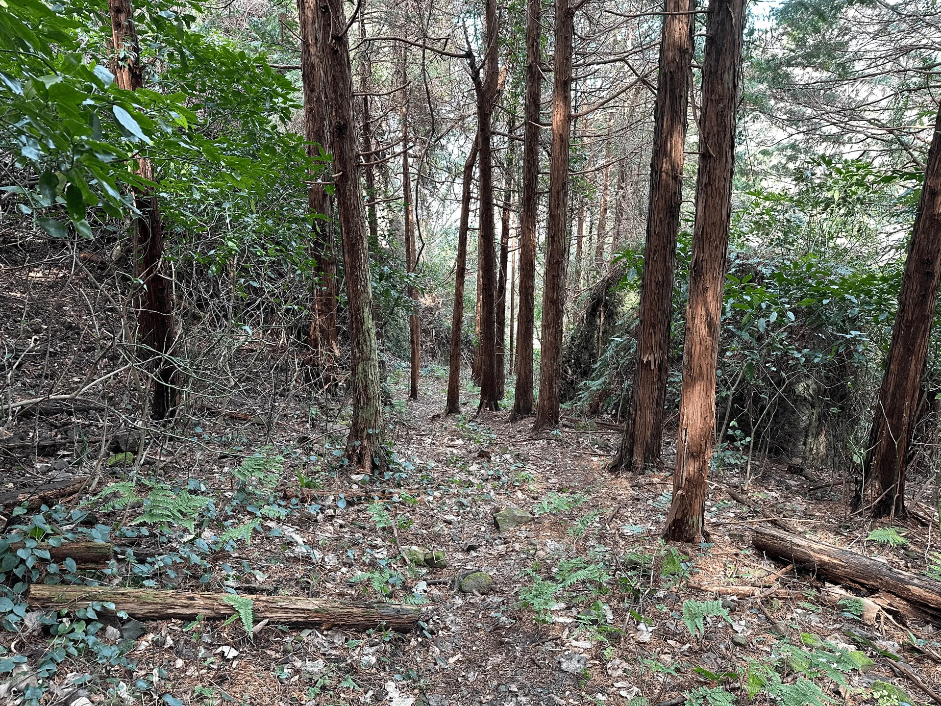
From here you’re back amongst the trees. I felt like this course was fairly varied in terms of its scenery, unlike some mountains where it’s all just the same forest.
Then we hit our fifth peak, Mt Kowashizu (小鷲頭山, Kowashizu-san).
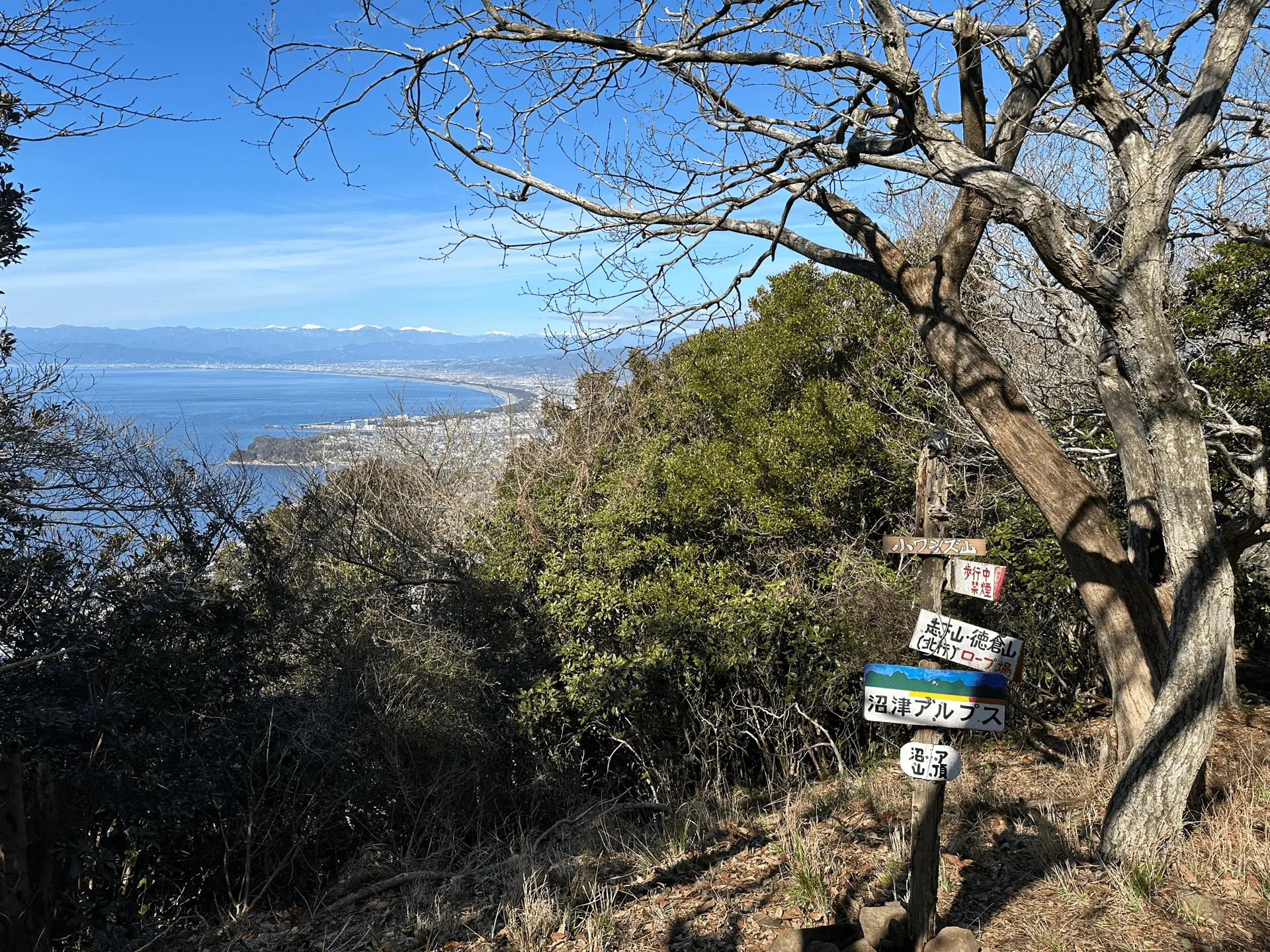
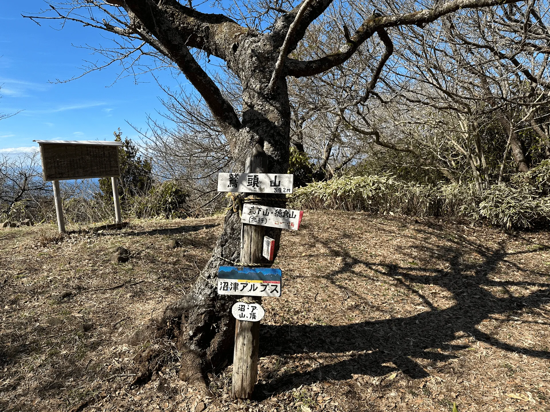
The six peak and second-last peak is Mt Washizu (鷲頭山, Washizu-san) which is also the highest peak at 392m.
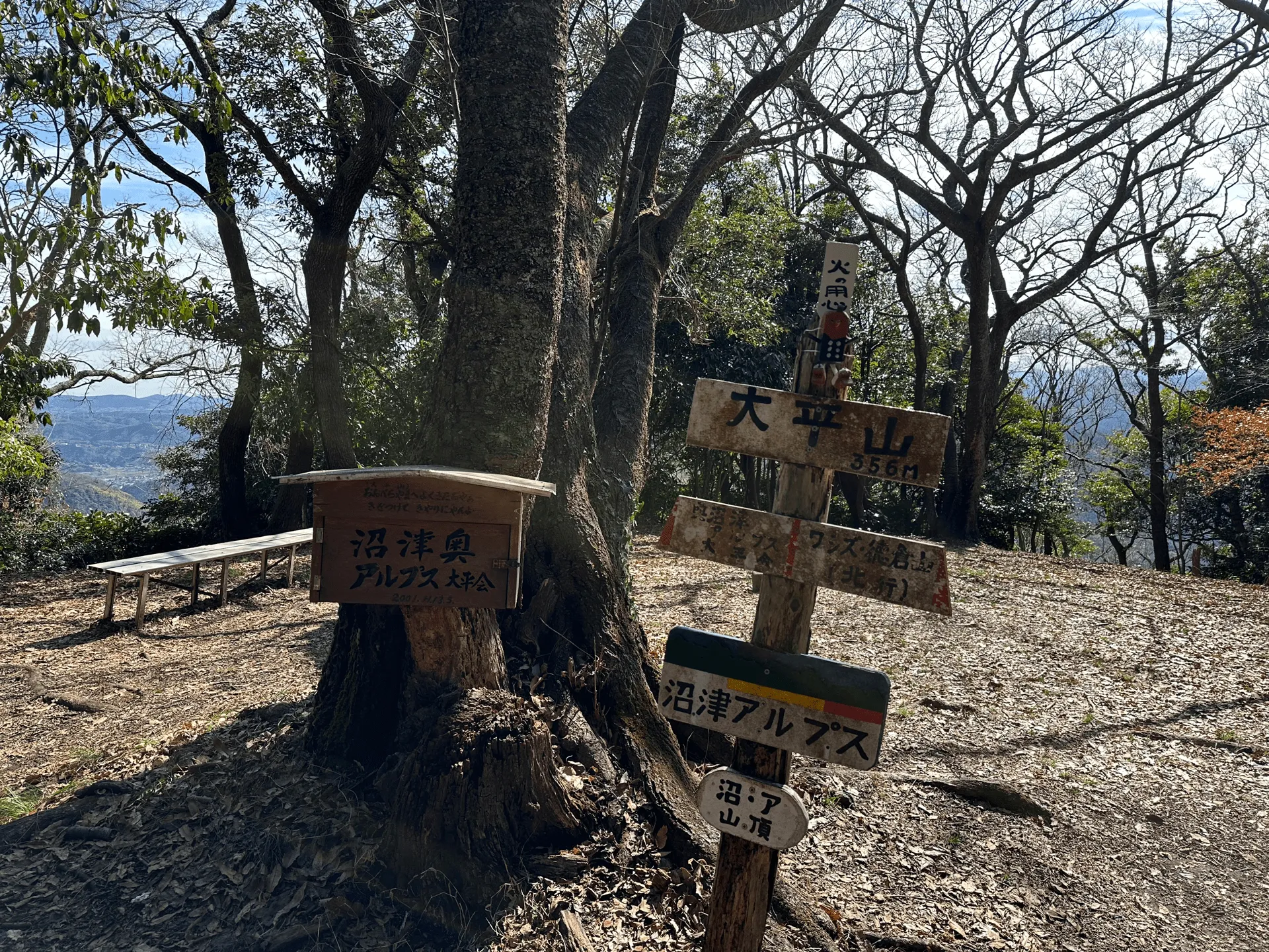
And finally we reach our seventh and final peak at Mt Obira (大平山, Obira-yama).
From here it’s a very steep descent down to the bus stop, where I got on a bus back to the carpark I started at. The bus only comes once an hour so I was really rushing here, and ended up making it with five minutes to spare.
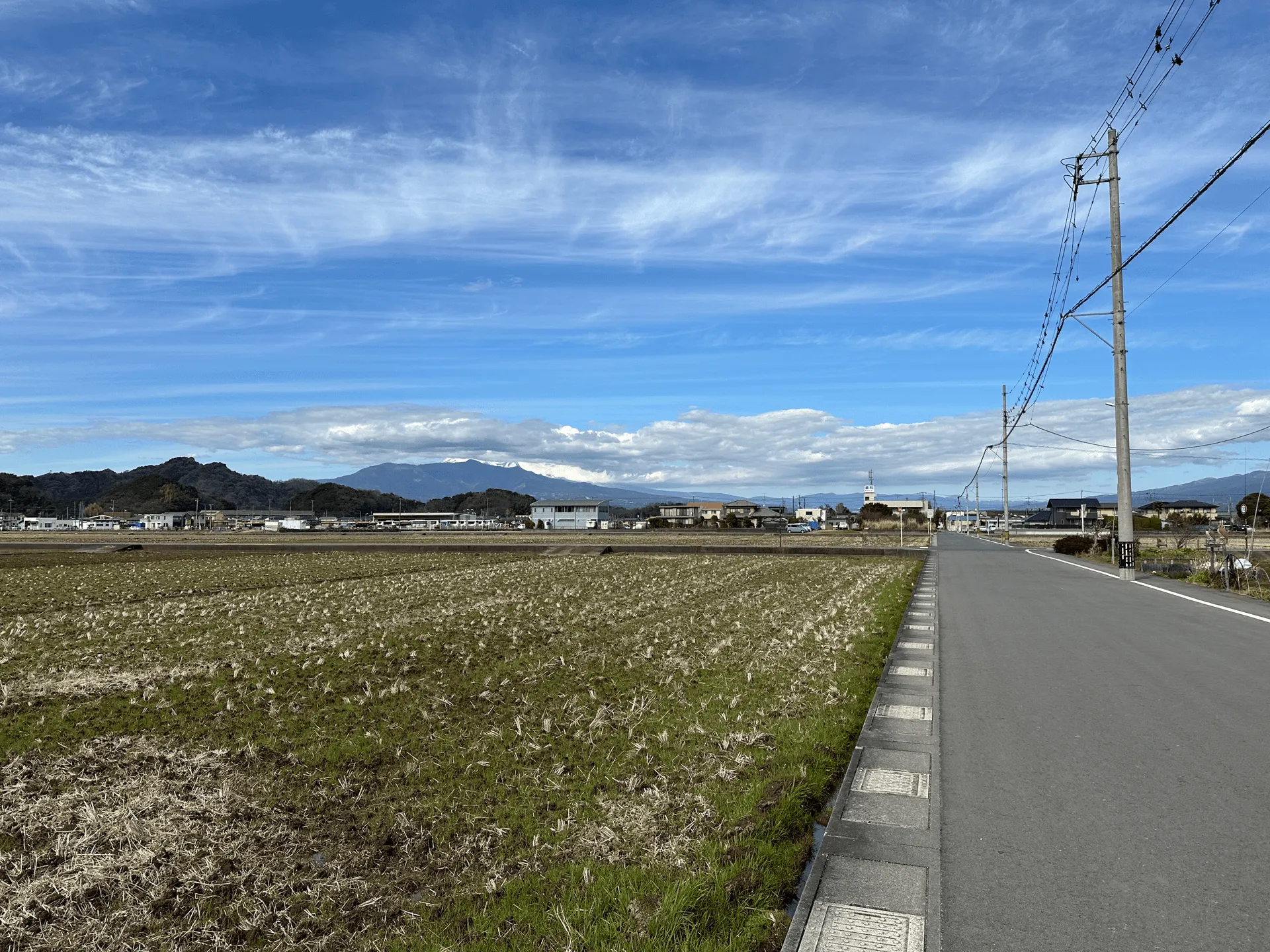
It’s a 15 minute walk after you get off the bus to get back to the carpark, and it’s all uphill. I was pretty tired by this point.
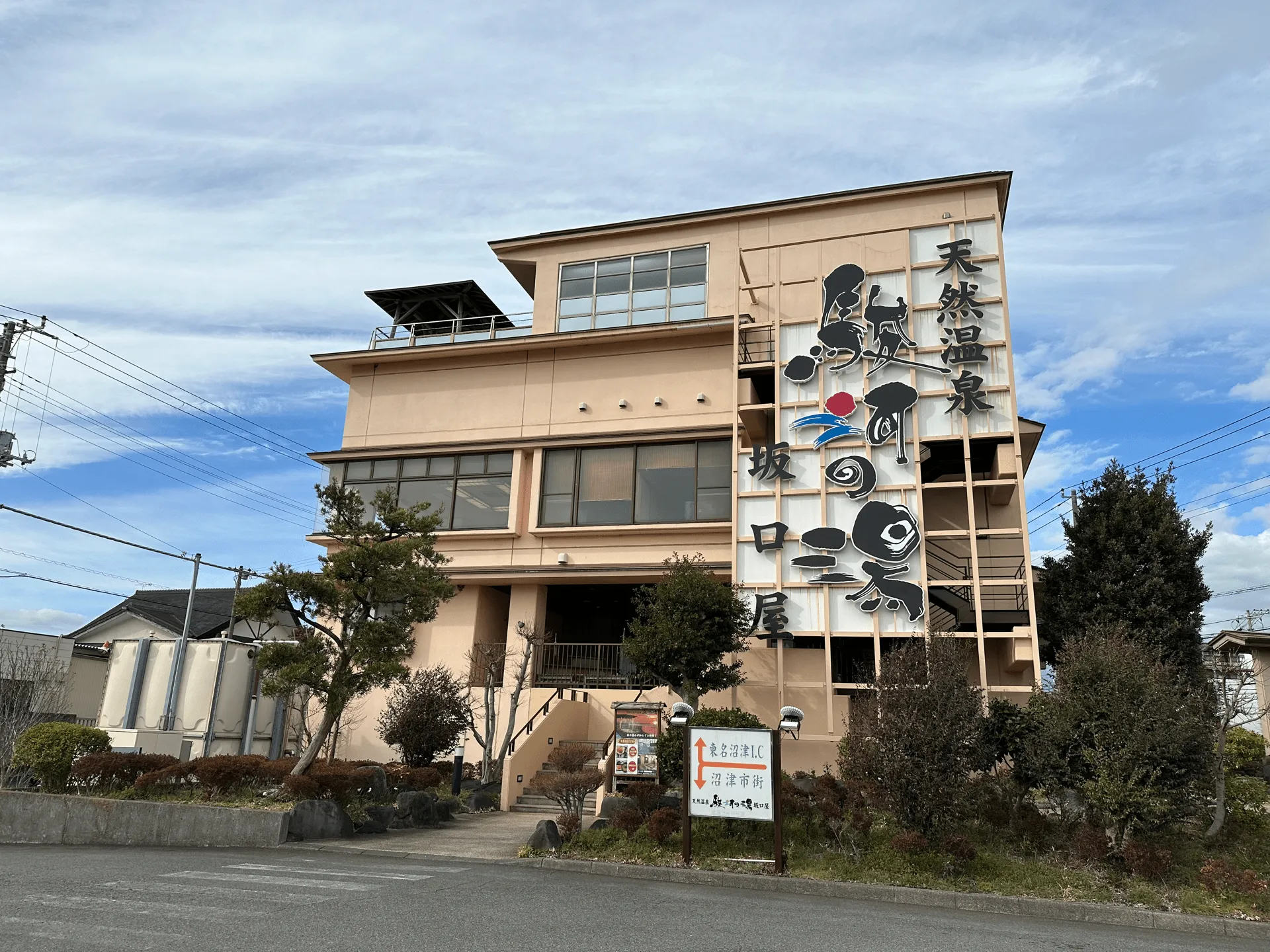
Finally before heading home, I took a detour to a nearby onsen. I opted for one that was about a 20 minute drive away (it had the best reviews) and conveniently located right before getting onto the freeway. I will say it was probably not the nicest onsen I have been to, but it’ll do in a pinch.
| Date climbed | Length | Course time |
|---|---|---|
| 2024-02-16 | 9.6km | 6h (the expected time for an average hiker without breaks) |
The most standard option for the Numazu Alps is its 14km point-to-point course which runs from Numazu station to Baraki station. Since this will take you 8 hours, I would put it at an intermediate difficulty.
Since the Numazu Alps is just a collection of small mountain peaks, you can shorten the hike to your liking, although you’ll probably need to coordinate bus schedules to figure out how to get back to a train station. Although I came by car, it is possible to do the course I did via public transport. Near the carpark I started at is the Kurose (黒瀬) bus stop. So if you start your hike here, and end at the Yamaguchi-michi (山口道) bus stop, you’ll be looking at a 10km course that should take you around 6 hours.
There also looks to be a course available on Alltrails, which seems to start at Kurose bus stop, but I’m not quite sure where it ends - maybe another bus stop?
There is a toilet available near the carpark, and there was a FamilyMart at the bus stop at the end of the trail.
| Time | Location | Transport | Cost | |
|---|---|---|---|---|
| 05:40 | Tokyo station (東京駅) | Train | 2310 | |
| 08:04 | Numazu station (沼津駅) |
A train to Shizuoka’s Numazu station will take you a little over 2 hours from Tokyo, but if you don’t mind shelling out the cash, you can actually get there in an hour via Shinkansen instead. The hike ends at Baraki station, where you can head back to Tokyo.
There are also local bus options to shorten your hike. I got on a bus at the Yamaguchi-michi (山口道) bus stop to get back to my car. Although I only got on it for a short distance, the bus actually goes all the way back to Numazu station. And I assume there is a bus heading in the other direction as well.
| Time | Location | Transport | Cost | |
|---|---|---|---|---|
| 16:09 | Baraki station (原木駅) | Train | 2620 | |
| 18:45 | Tokyo station (東京駅) | |||
| Trip total: | 4930 |
| Car park | Time (from Tokyo) | Round trip cost |
|---|---|---|
| Numazu Alps carpark (沼津アルプス 駐車場) | 2h10min | ~7700 yen |
The car park at the trailhead can only fit 8 cars, and although it was quite empty on a weekday it might be best to come early on a weekend, or to consider taking public transport instead.
The bus back takes about 15 minutes from Yamaguchi-michi to Kurose. And then from there its another 15 min walk back to the car park. The main problem is timing the bus, since it only comes once an hour.
Comments
Leave a comment